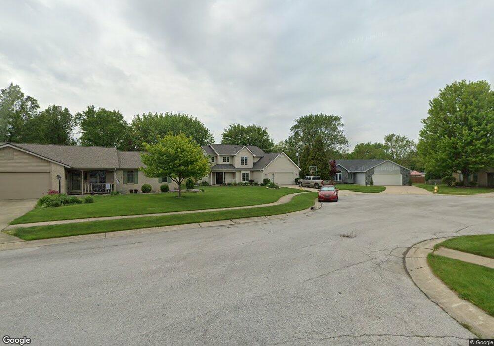
1334 Canal Ridge Dr New Haven, IN 46774
Estimated Value: $241,347 - $274,000
3
Beds
3
Baths
1,574
Sq Ft
$165/Sq Ft
Est. Value
About This Home
This home is located at 1334 Canal Ridge Dr, New Haven, IN 46774 and is currently estimated at $259,837, approximately $165 per square foot. 1334 Canal Ridge Dr is a home located in Allen County with nearby schools including New Haven Primary School, New Haven Intermediate School, and New Haven High School.
Ownership History
Date
Name
Owned For
Owner Type
Purchase Details
Closed on
May 24, 2010
Sold by
Benson Rise
Bought by
Pedgett Marc J and Pedgett Rise L
Current Estimated Value
Home Financials for this Owner
Home Financials are based on the most recent Mortgage that was taken out on this home.
Original Mortgage
$94,000
Outstanding Balance
$63,282
Interest Rate
5.14%
Estimated Equity
$196,555
Purchase Details
Closed on
Apr 5, 2006
Sold by
Benson Barry M and Benson Rise L
Bought by
Benson Rise
Home Financials for this Owner
Home Financials are based on the most recent Mortgage that was taken out on this home.
Original Mortgage
$97,481
Interest Rate
6.34%
Create a Home Valuation Report for This Property
The Home Valuation Report is an in-depth analysis detailing your home's value as well as a comparison with similar homes in the area
Home Values in the Area
Average Home Value in this Area
Purchase History
| Date | Buyer | Sale Price | Title Company |
|---|---|---|---|
| Pedgett Marc J | -- | Meridian Title Corporation | |
| Benson Rise | -- | Progressive Land Title Of In |
Source: Public Records
Mortgage History
| Date | Status | Borrower | Loan Amount |
|---|---|---|---|
| Open | Pedgett Marc J | $94,000 | |
| Previous Owner | Benson Rise | $97,481 |
Source: Public Records
Tax History Compared to Growth
Tax History
| Year | Tax Paid | Tax Assessment Tax Assessment Total Assessment is a certain percentage of the fair market value that is determined by local assessors to be the total taxable value of land and additions on the property. | Land | Improvement |
|---|---|---|---|---|
| 2024 | $2,037 | $211,100 | $35,900 | $175,200 |
| 2023 | $2,032 | $203,200 | $24,700 | $178,500 |
| 2022 | $1,665 | $166,500 | $24,700 | $141,800 |
| 2021 | $1,436 | $143,600 | $24,700 | $118,900 |
| 2020 | $1,412 | $140,700 | $24,700 | $116,000 |
| 2019 | $1,414 | $140,900 | $24,700 | $116,200 |
| 2018 | $1,357 | $135,200 | $24,700 | $110,500 |
| 2017 | $1,186 | $118,100 | $24,700 | $93,400 |
| 2016 | $1,129 | $112,400 | $24,700 | $87,700 |
| 2014 | $1,177 | $117,700 | $24,700 | $93,000 |
| 2013 | $1,241 | $124,100 | $24,700 | $99,400 |
Source: Public Records
Map
Nearby Homes
- 241 Tweedwood Dr
- 1231 Lost Lock Way
- 347 Twillo Run Dr
- 1415 Summit St
- 738 Keller Dr
- 1004 Keller Dr
- 1135 Summit St
- 1511 State Road 930 E Rd
- 627 Main St
- 1710 Richfield Dr
- 1506 Tartan Ct
- 2427 Valley Creek Run
- 1717 E Macgregor Dr
- 2512 Valley Creek Run
- 9336 Hobart Way
- 9312 Hobart Way
- 9300 Hobart Way
- 694 Chellberge Pass
- 702 Chellberge Pass
- 714 Chellberge Pass
- 1412 Canal Ridge Dr
- 10815 Towpath Ct
- 339 Tweedwood Dr
- 347 Tweedwood Dr
- 331 Tweedwood Dr
- 10801 Towpath Ct
- 355 Tweedwood Dr
- 1310 Canal Ridge Dr
- 1424 Canal Ridge Dr
- 325 Tweedwood Dr
- 1311 Canal Ridge Dr
- 361 Tweedwood Dr
- 1336 Lost Lock Way
- 1333 Lost Lock Way
- 10802 Towpath Ct
- 317 Tweedwood Dr
- 340 Tweedwood Dr
- 10818 Trailwood Ln
- 348 Tweedwood Dr
- 10903 Towpath Ct