Estimated Value: $666,717 - $736,000
3
Beds
2
Baths
1,354
Sq Ft
$519/Sq Ft
Est. Value
About This Home
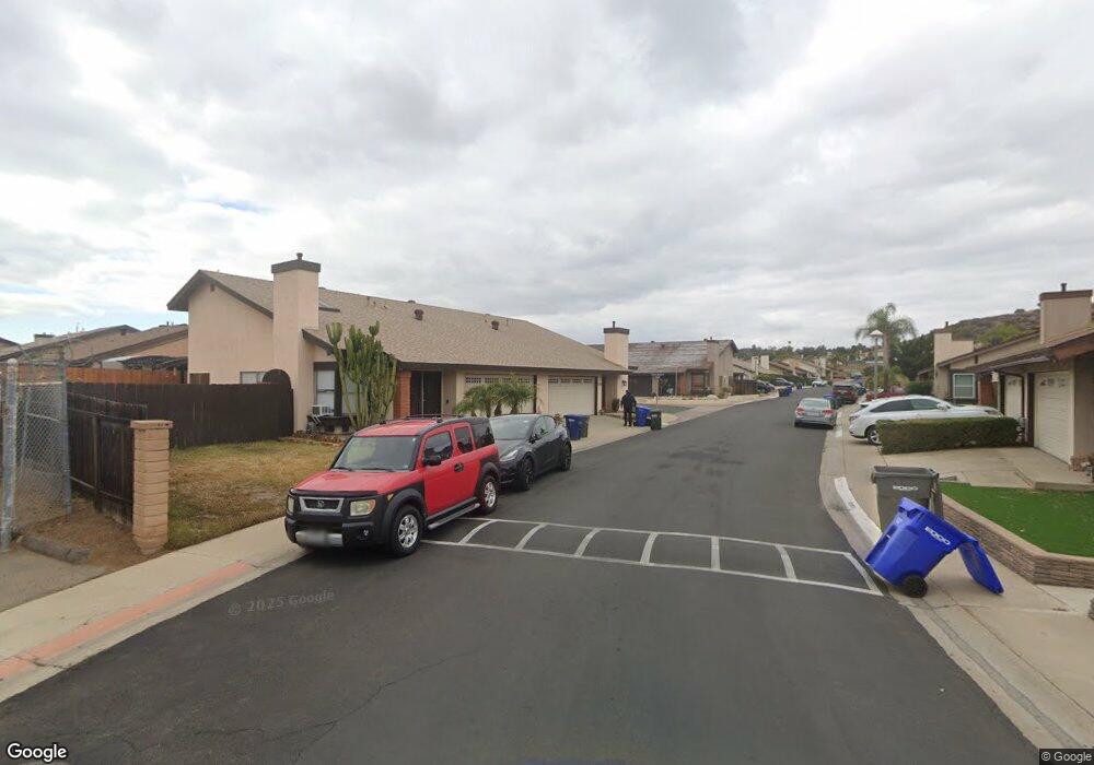
This home is located at 13340 Sutter Mill Rd, Poway, CA 92064 and is currently estimated at $702,929, approximately $519 per square foot. 13340 Sutter Mill Rd is a home located in San Diego County with nearby schools including Garden Road Elementary, Twin Peaks Middle, and Poway High.
Ownership History
Date
Name
Owned For
Owner Type
Purchase Details
Closed on
Oct 13, 1999
Sold by
Cook Henry P
Bought by
Webb Duncan and Webb Tamara
Current Estimated Value
Home Financials for this Owner
Home Financials are based on the most recent Mortgage that was taken out on this home.
Original Mortgage
$184,203
Outstanding Balance
$55,576
Interest Rate
7.82%
Mortgage Type
FHA
Estimated Equity
$647,353
Purchase Details
Closed on
May 21, 1998
Sold by
Cook Henry P
Bought by
Cook Henry P
Home Financials for this Owner
Home Financials are based on the most recent Mortgage that was taken out on this home.
Original Mortgage
$111,000
Interest Rate
7.13%
Mortgage Type
Purchase Money Mortgage
Purchase Details
Closed on
Aug 5, 1987
Purchase Details
Closed on
Apr 4, 1986
Purchase Details
Closed on
Dec 2, 1983
Create a Home Valuation Report for This Property
The Home Valuation Report is an in-depth analysis detailing your home's value as well as a comparison with similar homes in the area
Home Values in the Area
Average Home Value in this Area
Purchase History
| Date | Buyer | Sale Price | Title Company |
|---|---|---|---|
| Webb Duncan | $190,000 | Southland Title | |
| Cook Henry P | -- | Landsafe Title | |
| -- | $103,200 | -- | |
| -- | $93,500 | -- | |
| -- | $84,000 | -- |
Source: Public Records
Mortgage History
| Date | Status | Borrower | Loan Amount |
|---|---|---|---|
| Open | Webb Duncan | $184,203 | |
| Previous Owner | Cook Henry P | $111,000 |
Source: Public Records
Tax History
| Year | Tax Paid | Tax Assessment Tax Assessment Total Assessment is a certain percentage of the fair market value that is determined by local assessors to be the total taxable value of land and additions on the property. | Land | Improvement |
|---|---|---|---|---|
| 2025 | $3,227 | $291,997 | $97,319 | $194,678 |
| 2024 | $3,227 | $286,272 | $95,411 | $190,861 |
| 2023 | $3,158 | $280,660 | $93,541 | $187,119 |
| 2022 | $3,105 | $275,157 | $91,707 | $183,450 |
| 2021 | $3,064 | $269,762 | $89,909 | $179,853 |
| 2020 | $3,023 | $266,997 | $88,988 | $178,009 |
| 2019 | $2,945 | $261,763 | $87,244 | $174,519 |
| 2018 | $2,863 | $256,632 | $85,534 | $171,098 |
| 2017 | $2,787 | $251,601 | $83,857 | $167,744 |
| 2016 | $2,729 | $246,668 | $82,213 | $164,455 |
| 2015 | $2,689 | $242,964 | $80,979 | $161,985 |
| 2014 | $2,626 | $238,205 | $79,393 | $158,812 |
Source: Public Records
Map
Nearby Homes
- 13462 Montego Dr
- 13428 Standish Dr
- 13419 Sebago Ave
- 13209 Neddick Ave
- 14523 Saco St
- 14525 Kittery St
- 14550 Dehia St
- 13001 Standish Dr
- 14610 Fairburn St
- 13059 Acton Ave
- 13643 Melissa Ln
- 13435 Frey Ct
- 12671 Claire Dr
- 000 Carlson Ct 9 Unit 9
- 13941 Wisteria Ave Unit 53
- 13908 Hibiscus Ave Unit 40
- 13962 Magnolia Ave Unit 90
- 13329 Casa Vista St Unit 98
- 14015 Olive Meadows Place
- 12959 Creek Park Dr
- 14213 Eagle Mine Dr
- 14216 Sutter Mill Way
- 14220 Eagle Mine Dr
- 13420 Sutter Mill Rd
- 13418 Sutter Mill Rd
- 14210 Lost Dutchman Dr
- 14208 Lost Dutchman Dr
- 14209 Lost Dutchman Dr
- 13354 Sutter Mill Rd Unit 38
- 14226 Eagle Mine Dr
- 14218 Eagle Mine Dr
- 14214 Eagle Mine Dr
- 14207 Eagle Mine Dr Unit 30
- 14215 Eagle Mine Dr
- 14219 Eagle Mine Dr
- 13342 Sutter Mill Rd
- 13341 Sutter Mill Rd
- 13345 Sutter Mill Rd Unit 20
- 13347 Sutter Mill Rd Unit 19
- 13409 Sutter Mill Rd