13341 Canyon Rd Anchorage, AK 99516
Hillside East NeighborhoodEstimated Value: $623,000 - $923,000
3
Beds
3
Baths
1,197
Sq Ft
$637/Sq Ft
Est. Value
About This Home
This home is located at 13341 Canyon Rd, Anchorage, AK 99516 and is currently estimated at $763,023, approximately $637 per square foot. 13341 Canyon Rd is a home located in Anchorage Municipality with nearby schools including Bear Valley Elementary School, Goldenview Middle School, and South Anchorage High School.
Ownership History
Date
Name
Owned For
Owner Type
Purchase Details
Closed on
Dec 18, 1991
Sold by
Dunagan Lenora K and Bader Dimitri B
Bought by
Volper David J and Kennison Merideane
Current Estimated Value
Home Financials for this Owner
Home Financials are based on the most recent Mortgage that was taken out on this home.
Original Mortgage
$149,600
Interest Rate
8.82%
Mortgage Type
New Conventional
Create a Home Valuation Report for This Property
The Home Valuation Report is an in-depth analysis detailing your home's value as well as a comparison with similar homes in the area
Home Values in the Area
Average Home Value in this Area
Purchase History
| Date | Buyer | Sale Price | Title Company |
|---|---|---|---|
| Volper David J | -- | -- |
Source: Public Records
Mortgage History
| Date | Status | Borrower | Loan Amount |
|---|---|---|---|
| Closed | Volper David J | $149,600 |
Source: Public Records
Tax History
| Year | Tax Paid | Tax Assessment Tax Assessment Total Assessment is a certain percentage of the fair market value that is determined by local assessors to be the total taxable value of land and additions on the property. | Land | Improvement |
|---|---|---|---|---|
| 2025 | $3,830 | $580,100 | $163,200 | $416,900 |
| 2024 | $3,830 | $511,900 | $163,200 | $348,700 |
| 2023 | $3,434 | $476,000 | $163,200 | $312,800 |
| 2022 | $3,643 | $462,100 | $163,200 | $298,900 |
| 2021 | $6,417 | $432,700 | $163,200 | $269,500 |
| 2020 | $2,947 | $412,100 | $163,200 | $248,900 |
| 2019 | $4,955 | $416,500 | $163,200 | $253,300 |
| 2018 | $4,971 | $419,600 | $180,800 | $238,800 |
| 2017 | $5,495 | $433,800 | $173,200 | $260,600 |
| 2016 | $5,062 | $454,400 | $173,200 | $281,200 |
| 2015 | $5,062 | $438,100 | $169,200 | $268,900 |
| 2014 | $5,062 | $413,100 | $169,100 | $244,000 |
Source: Public Records
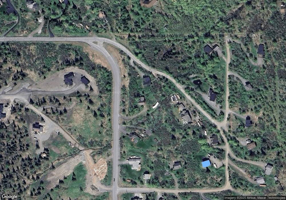
Map
Nearby Homes
- 13675 Canyon Rd
- 13851 Canyon Rd
- 14115 Canyon Rd
- 12610 Glen Alps Rd
- 12650 Glen Alps Rd
- 14345 Canyon Rd
- 12801 Midori Dr
- L1 B1 E Klatt Rd
- 000 de Palatis Cir
- 13492 de Palatis Cir
- 12800 Foster Rd
- 000 von Scheben Dr
- 6820 Gunnison Dr
- 11100 Hideaway Trail
- 10640 Stroganof Dr
- 8200 Leo Cir
- 14351 Equestrian Cir
- Lot 13A Alta Ct
- L5 Mountain Air Dr
- L4 & L5 Mountain Air Dr
- 13240 View Heights Way
- 13391 Canyon Rd
- 13350 View Heights Way
- 13729 Canyon Rd
- 13747 Canyon Rd
- 13819 Canyon Rd
- 13351 View Heights Way
- 13431 Canyon Rd
- 13564 Spendlove Dr
- 8831 Pathfinder Cir
- 13440 View Heights Way
- 13210 Spendlove Dr
- L2 Canyon Rd
- L10 Canyon Rd
- L8 Canyon Rd
- 13456 Spendlove Dr
- 13571 Spendlove Dr
- 13591 Spendlove Dr
- 8931 Upper de Armoun Rd
- 9000 Spendlove Dr
Your Personal Tour Guide
Ask me questions while you tour the home.