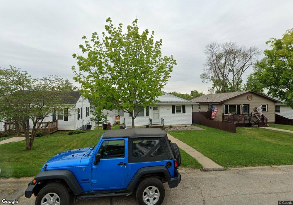
1335 20th Ave SW Cedar Rapids, IA 52404
Southwest Area NeighborhoodEstimated Value: $163,000 - $187,000
3
Beds
2
Baths
936
Sq Ft
$189/Sq Ft
Est. Value
About This Home
This home is located at 1335 20th Ave SW, Cedar Rapids, IA 52404 and is currently estimated at $176,536, approximately $188 per square foot. 1335 20th Ave SW is a home located in Linn County with nearby schools including Junction City Elementary School, Grant Elementary School, and Bruce Hall Day Treatment Center.
Ownership History
Date
Name
Owned For
Owner Type
Purchase Details
Closed on
May 5, 2011
Sold by
Peterka Jodi M
Bought by
Lien David S and Lien Rita J
Current Estimated Value
Home Financials for this Owner
Home Financials are based on the most recent Mortgage that was taken out on this home.
Original Mortgage
$103,200
Outstanding Balance
$69,601
Interest Rate
4.25%
Mortgage Type
New Conventional
Estimated Equity
$106,935
Purchase Details
Closed on
Apr 28, 2005
Sold by
Lien Rita J and Ring Angela M
Bought by
Lien Rita J and Peterka Jodi M
Home Financials for this Owner
Home Financials are based on the most recent Mortgage that was taken out on this home.
Original Mortgage
$105,169
Interest Rate
6.05%
Mortgage Type
FHA
Purchase Details
Closed on
Dec 22, 1998
Sold by
Ketchum Garold G and Ketchum Rozella O
Bought by
Ring Brian P and Ring Angela M
Home Financials for this Owner
Home Financials are based on the most recent Mortgage that was taken out on this home.
Original Mortgage
$84,443
Interest Rate
7.02%
Mortgage Type
FHA
Create a Home Valuation Report for This Property
The Home Valuation Report is an in-depth analysis detailing your home's value as well as a comparison with similar homes in the area
Home Values in the Area
Average Home Value in this Area
Purchase History
| Date | Buyer | Sale Price | Title Company |
|---|---|---|---|
| Lien David S | -- | None Available | |
| Lien Rita J | $105,500 | -- | |
| Ring Brian P | $84,000 | -- |
Source: Public Records
Mortgage History
| Date | Status | Borrower | Loan Amount |
|---|---|---|---|
| Open | Lien David S | $103,200 | |
| Previous Owner | Lien Rita J | $105,169 | |
| Previous Owner | Ring Brian P | $84,443 |
Source: Public Records
Tax History Compared to Growth
Tax History
| Year | Tax Paid | Tax Assessment Tax Assessment Total Assessment is a certain percentage of the fair market value that is determined by local assessors to be the total taxable value of land and additions on the property. | Land | Improvement |
|---|---|---|---|---|
| 2025 | $2,634 | $189,000 | $23,000 | $166,000 |
| 2024 | $2,848 | $175,000 | $21,000 | $154,000 |
| 2023 | $2,848 | $175,000 | $21,000 | $154,000 |
| 2022 | $2,498 | $147,300 | $21,000 | $126,300 |
| 2021 | $2,496 | $133,000 | $18,000 | $115,000 |
| 2020 | $2,496 | $125,000 | $17,000 | $108,000 |
| 2019 | $2,102 | $109,300 | $17,000 | $92,300 |
| 2018 | $2,038 | $109,300 | $17,000 | $92,300 |
| 2017 | $2,213 | $107,500 | $17,000 | $90,500 |
| 2016 | $2,213 | $107,500 | $17,000 | $90,500 |
| 2015 | $2,251 | $109,080 | $17,000 | $92,080 |
| 2014 | $2,066 | $109,080 | $17,000 | $92,080 |
| 2013 | $2,014 | $109,080 | $17,000 | $92,080 |
Source: Public Records
Map
Nearby Homes
- 1318 22nd Ave SW
- 1227 19th Ave SW
- 1332 Wilson Ave SW
- 1312 Wilson Ave SW
- 1132 21st Ave SW
- 2150 Rockford Rd SW
- 1960 Rockford Rd SW Unit 45
- 2025 18th St SW
- 1121 15th Ave SW
- 1801 Shady Grove Rd SW
- 1806 Holly Meadow Ave SW
- 1812 Holly Meadow Ave SW
- 1424 11th St SW
- 1818 Holly Meadow Ave SW
- 1824 Holly Meadow Ave SW
- 2105 Milligan Ct SW
- 826 21st Ave SW
- 1621 9th St SW
- 1617 9th St SW
- 1913 Holly Meadow Ave SW
- 1325 20th Ave SW
- 1337 20th Ave SW
- 1365 20th Ave SW
- 1323 20th Ave SW
- 1339 20th Ave SW
- 1321 20th Ave SW
- 1345 20th Ave SW
- 1315 20th Ave SW
- 1330 21st Ave SW
- 1332 21st Ave SW
- 1334 21st Ave SW
- 1320 21st Ave SW
- 1338 21st Ave SW
- 1313 20th Ave SW
- 1349 20th Ave SW
- 1312 21st Ave SW
- 1330 20th Ave SW
- 1340 21st Ave SW
- 1324 20th Ave SW
- 1334 20th Ave SW