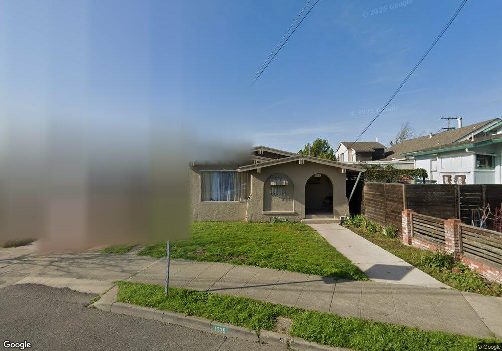
1335 67th St Berkeley, CA 94702
West Berkeley NeighborhoodEstimated Value: $934,000 - $1,004,000
2
Beds
1
Bath
884
Sq Ft
$1,101/Sq Ft
Est. Value
About This Home
This home is located at 1335 67th St, Berkeley, CA 94702 and is currently estimated at $973,319, approximately $1,101 per square foot. 1335 67th St is a home located in Alameda County with nearby schools including Malcolm X Elementary School, Washington Elementary School, and Oxford Elementary School.
Ownership History
Date
Name
Owned For
Owner Type
Purchase Details
Closed on
Dec 22, 2003
Sold by
Lewis Janice E and Lewis Janice E
Bought by
Hutcherson Gene
Current Estimated Value
Home Financials for this Owner
Home Financials are based on the most recent Mortgage that was taken out on this home.
Original Mortgage
$289,000
Outstanding Balance
$130,824
Interest Rate
5.55%
Mortgage Type
Purchase Money Mortgage
Estimated Equity
$842,495
Create a Home Valuation Report for This Property
The Home Valuation Report is an in-depth analysis detailing your home's value as well as a comparison with similar homes in the area
Home Values in the Area
Average Home Value in this Area
Purchase History
| Date | Buyer | Sale Price | Title Company |
|---|---|---|---|
| Hutcherson Gene | $340,000 | Fidelity National Title Co |
Source: Public Records
Mortgage History
| Date | Status | Borrower | Loan Amount |
|---|---|---|---|
| Open | Hutcherson Gene | $289,000 | |
| Closed | Hutcherson Gene | $51,000 |
Source: Public Records
Tax History
| Year | Tax Paid | Tax Assessment Tax Assessment Total Assessment is a certain percentage of the fair market value that is determined by local assessors to be the total taxable value of land and additions on the property. | Land | Improvement |
|---|---|---|---|---|
| 2025 | $7,503 | $476,380 | $145,014 | $338,366 |
| 2024 | $7,503 | $466,904 | $142,171 | $331,733 |
| 2023 | $7,343 | $464,613 | $139,384 | $325,229 |
| 2022 | $7,208 | $448,504 | $136,651 | $318,853 |
| 2021 | $7,220 | $439,575 | $133,972 | $312,603 |
| 2020 | $6,842 | $442,000 | $132,600 | $309,400 |
| 2019 | $6,579 | $433,333 | $130,000 | $303,333 |
| 2018 | $6,466 | $424,836 | $127,451 | $297,385 |
| 2017 | $6,219 | $416,506 | $124,952 | $291,554 |
| 2016 | $6,018 | $408,340 | $122,502 | $285,838 |
| 2015 | $5,938 | $402,205 | $120,661 | $281,544 |
| 2014 | $5,897 | $394,328 | $118,298 | $276,030 |
Source: Public Records
Map
Nearby Homes
- 3032 Mabel St
- 1314 Ashby Ave
- 3101 Sacramento St
- 1507 Prince St
- 1080 67th St
- 6628 Helen Ct
- 2922 Stanton St
- 3224 Sacramento St
- 3110 California St
- 3114 California St
- 1237 Ashby Ave
- 3138 California St
- 6500 San Pablo Ave
- 3214 California St
- 6501 San Pablo Ave Unit 410
- 6465 San Pablo Ave Unit 203
- 1535 Julia St
- 1126 Ocean Ave
- 968 62nd St
- 1164 Ocean Ave
Your Personal Tour Guide
Ask me questions while you tour the home.