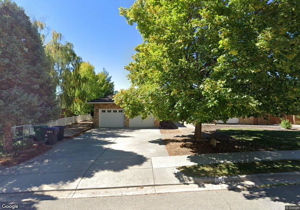
1335 N 1500 E Provo, UT 84604
Rock Canyon NeighborhoodEstimated Value: $916,000 - $1,027,253
6
Beds
3
Baths
4,420
Sq Ft
$219/Sq Ft
Est. Value
About This Home
This home is located at 1335 N 1500 E, Provo, UT 84604 and is currently estimated at $966,751, approximately $218 per square foot. 1335 N 1500 E is a home located in Utah County with nearby schools including Wasatch Elementary School, Centennial Middle School, and Timpview High School.
Ownership History
Date
Name
Owned For
Owner Type
Purchase Details
Closed on
Aug 5, 2004
Sold by
Thomas Gordon K
Bought by
Williamson Terrence L and Williamson Judith M
Current Estimated Value
Home Financials for this Owner
Home Financials are based on the most recent Mortgage that was taken out on this home.
Original Mortgage
$239,920
Outstanding Balance
$120,864
Interest Rate
6.24%
Mortgage Type
Purchase Money Mortgage
Estimated Equity
$845,887
Create a Home Valuation Report for This Property
The Home Valuation Report is an in-depth analysis detailing your home's value as well as a comparison with similar homes in the area
Home Values in the Area
Average Home Value in this Area
Purchase History
| Date | Buyer | Sale Price | Title Company |
|---|---|---|---|
| Williamson Terrence L | -- | Old Republic Title Company |
Source: Public Records
Mortgage History
| Date | Status | Borrower | Loan Amount |
|---|---|---|---|
| Open | Williamson Terrence L | $239,920 | |
| Closed | Williamson Terrence L | $15,000 |
Source: Public Records
Tax History
| Year | Tax Paid | Tax Assessment Tax Assessment Total Assessment is a certain percentage of the fair market value that is determined by local assessors to be the total taxable value of land and additions on the property. | Land | Improvement |
|---|---|---|---|---|
| 2025 | $4,017 | $419,100 | -- | -- |
| 2024 | $4,017 | $395,450 | $0 | $0 |
| 2023 | $4,060 | $393,965 | $0 | $0 |
| 2022 | $4,118 | $402,930 | $0 | $0 |
| 2021 | $2,990 | $510,200 | $162,000 | $348,200 |
| 2020 | $2,978 | $476,400 | $135,000 | $341,400 |
| 2019 | $2,812 | $467,900 | $135,000 | $332,900 |
| 2018 | $2,474 | $417,400 | $127,900 | $289,500 |
| 2017 | $2,476 | $229,570 | $0 | $0 |
| 2016 | $2,566 | $221,760 | $0 | $0 |
| 2015 | $2,279 | $199,045 | $0 | $0 |
| 2014 | $2,015 | $183,480 | $0 | $0 |
Source: Public Records
Map
Nearby Homes
- 1205 N Old Willow Ln
- 1040 N Oakmont Ln
- 1411 N Locust Ln
- 1215 N Terrace Dr
- 905 N Terrace Dr
- 990 Cedar Ave
- 635 N Ridge Dr Unit 25
- 907 E 820 N Unit 11
- 532 N Seven Peaks Blvd Unit 302
- 737 E 750 N Unit 1
- 785 E 560 N Unit 405
- 1051 E 300 N
- 1840 Sego Ln
- 362 N 800 E
- 360 Sumac Ln
- 541 E 500 N Unit 12
- 1108 E 2620 N
- 864 E 200 N
- 386 N 500 E
- 364 N 500 E
- 1317 N 1500 E
- 1355 N 1500 E
- 1296 Oak Hill Cir
- 1296 Oak Hill Cir
- 1288 Oak Hill Cir
- 1297 N 1500 E
- 1375 N 1500 E
- 1332 N 1450 E
- 1352 N 1450 E
- 1266 Oak Hill Cir
- 1266 N Oak Hills Cir
- 1293 Oak Hill Cir
- 1293 N Oak Hills Cir
- 1374 N 1450 E
- 1277 N 1500 E
- 1391 N 1500 E Unit 45
- 1395 N 1500 E
- 1247 N Oak Hills Cir
- 1269 Oak Hill Cir
- 1244 Oak Hill Cir
Your Personal Tour Guide
Ask me questions while you tour the home.