Estimated Value: $155,392 - $280,000
--
Bed
--
Bath
1,800
Sq Ft
$114/Sq Ft
Est. Value
About This Home
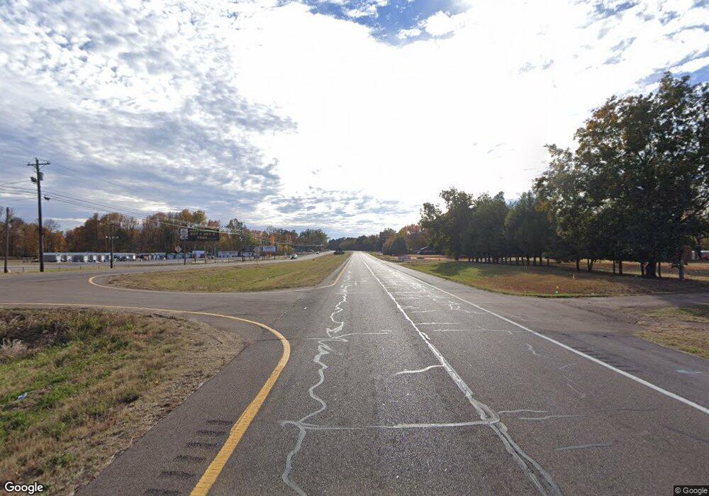
This home is located at 13350 Highway 51 S, Atoka, TN 38004 and is currently estimated at $205,098, approximately $113 per square foot. 13350 Highway 51 S is a home with nearby schools including Atoka Elementary School, Munford Middle School, and Munford High School.
Ownership History
Date
Name
Owned For
Owner Type
Purchase Details
Closed on
May 11, 2010
Sold by
Clark Jean A
Bought by
Kolivas Gregory J
Current Estimated Value
Home Financials for this Owner
Home Financials are based on the most recent Mortgage that was taken out on this home.
Original Mortgage
$55,000
Outstanding Balance
$36,810
Interest Rate
5.02%
Estimated Equity
$168,288
Purchase Details
Closed on
Nov 17, 1978
Bought by
Clark Jean A and Clark Melody A
Purchase Details
Closed on
Jun 16, 1978
Purchase Details
Closed on
Jan 2, 1978
Purchase Details
Closed on
Jan 1, 1978
Purchase Details
Closed on
Oct 25, 1976
Purchase Details
Closed on
Jan 1, 1976
Purchase Details
Closed on
May 11, 1974
Create a Home Valuation Report for This Property
The Home Valuation Report is an in-depth analysis detailing your home's value as well as a comparison with similar homes in the area
Home Values in the Area
Average Home Value in this Area
Purchase History
| Date | Buyer | Sale Price | Title Company |
|---|---|---|---|
| Kolivas Gregory J | $77,385 | -- | |
| Clark Jean A | -- | -- | |
| -- | -- | -- | |
| -- | $28,500 | -- | |
| -- | $20,000 | -- | |
| -- | -- | -- | |
| -- | $22,000 | -- | |
| -- | -- | -- |
Source: Public Records
Mortgage History
| Date | Status | Borrower | Loan Amount |
|---|---|---|---|
| Open | Not Available | $55,000 |
Source: Public Records
Tax History Compared to Growth
Tax History
| Year | Tax Paid | Tax Assessment Tax Assessment Total Assessment is a certain percentage of the fair market value that is determined by local assessors to be the total taxable value of land and additions on the property. | Land | Improvement |
|---|---|---|---|---|
| 2024 | $1,066 | $47,240 | $9,400 | $37,840 |
| 2023 | $1,066 | $47,240 | $9,400 | $37,840 |
| 2022 | $1,096 | $35,680 | $9,400 | $26,280 |
| 2021 | $1,078 | $35,680 | $9,400 | $26,280 |
| 2020 | $1,077 | $35,680 | $9,400 | $26,280 |
| 2019 | $948 | $26,400 | $9,400 | $17,000 |
| 2018 | $948 | $26,400 | $9,400 | $17,000 |
| 2017 | $850 | $26,400 | $9,400 | $17,000 |
| 2016 | $850 | $26,400 | $9,400 | $17,000 |
| 2015 | $849 | $26,400 | $9,400 | $17,000 |
| 2014 | $785 | $26,402 | $0 | $0 |
Source: Public Records
Map
Nearby Homes
- 01 Cobb Ave
- 02 Cobb Ave
- 03 Cobb Ave
- 13724 51 S Highway Hwy
- 94 Karen St
- 0 Hwy 51 Hwy S Unit 10206150
- 18 Fox Trot Ln
- 76 Christie Ave
- 99 Margaret Place
- 33 Hattie Ln
- 72 Margaret Place
- 95 Wallace Cove
- 0 Meade Lake Rd Unit 10196514
- 310 Wooten Oaks Cir
- 512 Kearns Cir
- 27 Rose Bush St
- Beckett Plan at The Villages of Green Meadows
- Bennett Plan at The Villages of Green Meadows
- Cooper Plan at The Villages of Green Meadows
- Carver Plan at The Villages of Green Meadows
- 13328 Highway 51 S
- 13327 Highway 51 S
- 1903 Tipton Rd
- 13226 Highway 51 S
- 13521 Highway 51 S
- 13528 Highway 51 S
- 1782 Tipton Rd
- 1802 Tipton Rd
- 1818 Tipton Rd
- 1718 Tipton Rd
- 1696 Tipton Rd
- 0 Tipton Rd
- 1666 Tipton Rd
- 13109 Hwy 51 S
- 1843 Tipton Rd
- 1871 Tipton Rd
- 1707 Tipton Rd
- 1685 Tipton Rd
- 1745 Tipton Rd
- 1598 Tipton Rd
