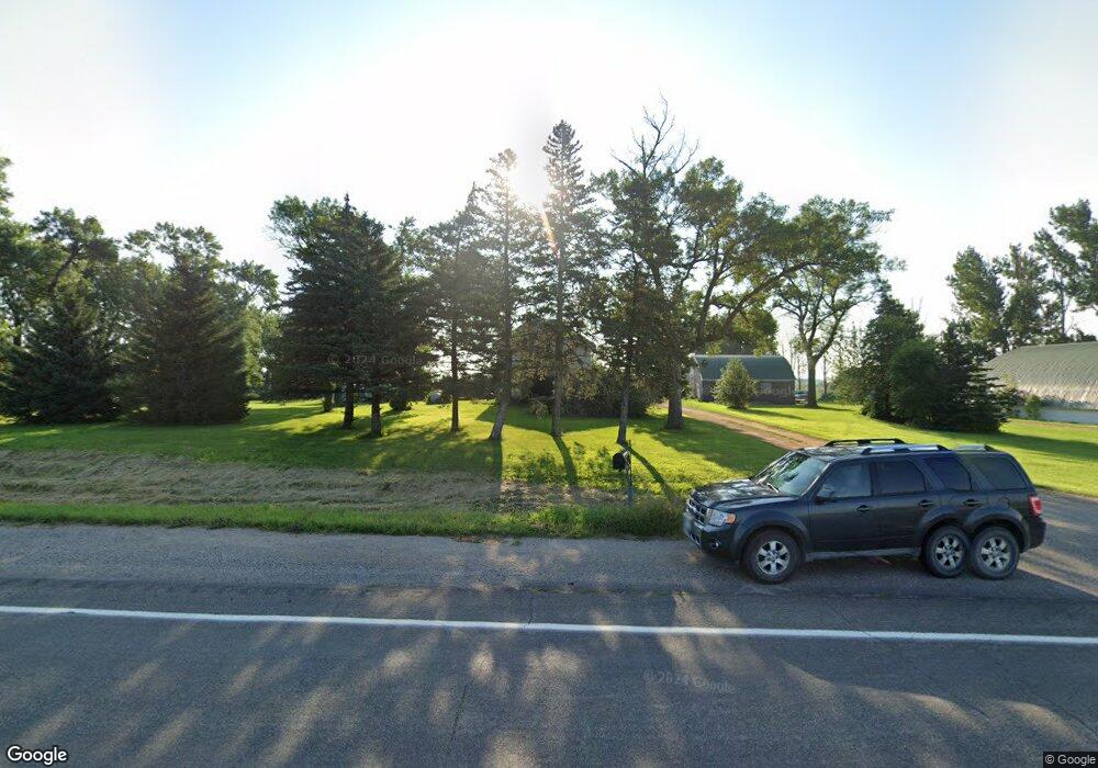
13357 13357 Hwy #22 Unit Home Parcel Only - 1 Mapleton, MN 56065
4
Beds
1
Bath
2,496
Sq Ft
1.17
Acres Lot
About This Home
This home is located at 13357 13357 Hwy #22 Unit Home Parcel Only - 1, Mapleton, MN 56065. 13357 13357 Hwy #22 Unit Home Parcel Only - 1 is a home located in Blue Earth County with nearby schools including Maple River Secondary School.
Create a Home Valuation Report for This Property
The Home Valuation Report is an in-depth analysis detailing your home's value as well as a comparison with similar homes in the area
Tax History
| Year | Tax Paid | Tax Assessment Tax Assessment Total Assessment is a certain percentage of the fair market value that is determined by local assessors to be the total taxable value of land and additions on the property. | Land | Improvement |
|---|---|---|---|---|
| 2026 | $1,496 | $185,000 | $60,500 | $124,500 |
| 2025 | $1,496 | $190,900 | $60,600 | $130,300 |
| 2024 | $1,364 | $177,900 | $60,600 | $117,300 |
| 2023 | $1,466 | $183,700 | $60,600 | $123,100 |
| 2022 | $1,366 | $166,100 | $60,600 | $105,500 |
| 2021 | $1,254 | $141,200 | $60,600 | $80,600 |
| 2020 | $888 | $130,700 | $50,500 | $80,200 |
| 2019 | $876 | $130,700 | $50,500 | $80,200 |
| 2018 | $948 | $129,800 | $50,500 | $79,300 |
| 2017 | $964 | $119,600 | $50,500 | $69,100 |
| 2016 | $914 | $117,000 | $50,500 | $66,500 |
| 2015 | $7 | $111,000 | $50,500 | $60,500 |
| 2014 | $1,130 | $110,500 | $50,000 | $60,500 |
Source: Public Records
Map
Nearby Homes
- 13357 State Highway 22
- 13357 Minnesota 22
- 13357 Minnesota 22 Unit 2-Parcel Sale (Total
- 13357 Minnesota 22 Unit Home Parcel Only - 1
- 13384 State Highway 22
- 13427 State Highway 22
- 13436 State Highway 22
- TBD Lot 1 Blk 1 Wille Meadows
- 13215 State Highway 22
- 13218 State Highway 22
- 502 Central Ave N
- 102 Scott Ct NW
- 104 Scott Ct NW
- 106 Scott Ct NW
- 108 Scott Ct NW
- 110 Scott Ct NW
- 101 101 Scott Ct
- 101 Scott Ct NW
- 103 Scott Ct NW
- 105 Scott Ct NW
Your Personal Tour Guide
Ask me questions while you tour the home.