1336 Dick Brown Rd Bristol, NH 03222
Estimated Value: $218,000 - $863,000
2
Beds
1
Bath
864
Sq Ft
$524/Sq Ft
Est. Value
About This Home
This home is located at 1336 Dick Brown Rd, Bristol, NH 03222 and is currently estimated at $452,611, approximately $523 per square foot. 1336 Dick Brown Rd is a home with nearby schools including Bridgewater-Hebron Village School.
Ownership History
Date
Name
Owned For
Owner Type
Purchase Details
Closed on
Apr 29, 2024
Sold by
Webber Ft and Mahoney
Bought by
Robinson Charlie
Current Estimated Value
Home Financials for this Owner
Home Financials are based on the most recent Mortgage that was taken out on this home.
Original Mortgage
$189,145
Outstanding Balance
$186,421
Interest Rate
6.74%
Mortgage Type
Purchase Money Mortgage
Estimated Equity
$266,190
Create a Home Valuation Report for This Property
The Home Valuation Report is an in-depth analysis detailing your home's value as well as a comparison with similar homes in the area
Home Values in the Area
Average Home Value in this Area
Purchase History
| Date | Buyer | Sale Price | Title Company |
|---|---|---|---|
| Robinson Charlie | $199,133 | None Available | |
| Robinson Charlie | $199,133 | None Available |
Source: Public Records
Mortgage History
| Date | Status | Borrower | Loan Amount |
|---|---|---|---|
| Open | Robinson Charlie | $189,145 | |
| Closed | Robinson Charlie | $189,145 |
Source: Public Records
Tax History Compared to Growth
Tax History
| Year | Tax Paid | Tax Assessment Tax Assessment Total Assessment is a certain percentage of the fair market value that is determined by local assessors to be the total taxable value of land and additions on the property. | Land | Improvement |
|---|---|---|---|---|
| 2024 | $1,598 | $295,900 | $146,800 | $149,100 |
| 2023 | $1,605 | $199,100 | $97,000 | $102,100 |
| 2022 | $1,645 | $199,100 | $97,000 | $102,100 |
| 2021 | $1,647 | $199,100 | $97,000 | $102,100 |
| 2020 | $11,125 | $199,100 | $97,000 | $102,100 |
| 2019 | $1,685 | $172,600 | $92,800 | $79,800 |
| 2018 | $1,636 | $172,600 | $92,800 | $79,800 |
| 2017 | $1,660 | $172,600 | $92,800 | $79,800 |
| 2016 | $1,628 | $172,600 | $92,800 | $79,800 |
| 2015 | $1,771 | $182,000 | $100,300 | $81,700 |
| 2014 | $1,698 | $182,000 | $100,300 | $81,700 |
Source: Public Records
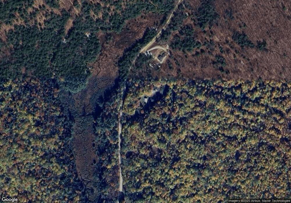
Map
Nearby Homes
- 862 Mayhew Turnpike Unit 1
- 114 Ledgewood Terrace
- 199 Cottage City Rd
- 94 Mandi Ln
- 10 Merrill Rd
- 1555 River Rd
- 383 Wulamat Rd
- 26 Don Gerry Rd
- 35 Manor Estates Dr Unit 14
- 15-B Wildflower Ln
- 497 W Shore Rd
- 40 Adams Rd
- 00 Peaked Hill Rd Unit 7.1, 7.2, 7.3, 7.4,
- Lot 7 Hall Rd
- Lots 1 & 2 Hall Rd
- 4 Birchwood Dr Unit A
- 00 Ledgewood Cir Unit 7
- 613 Mayhew Turnpike Unit 227-024 & 227-023
- 431 George Rd
- 216 Jenness Hill Rd
- Lot 47 Dick Brown Rd Unit 47
- Lot 12 Dick Brown Rd
- 402 Lot 48 Dick Brown Rd
- 402 Lot 48 Dick Brown Rd Unit 3
- Lot 52 Dick Brown Rd
- Lot 3 Dick Brown Rd
- 1482 Dick Brown Rd
- 1234 Dick Brown Rd
- 166 Brock Hill Rd
- 1350 Dick Brown Rd
- 359 Brock Hill Rd
- 193 Brock Hill Rd
- 124 Brock Hill Rd
- 457 Poole Hill Rd
- 245 Brock Hill Rd
- 196 Brock Hill Rd
- 1003 Dick Brown Rd
- 0 Dick Brown Rd Unit 4251141
- 0 Dick Brown Rd Unit 2823885
- 0 Dick Brown Rd Unit 4952830