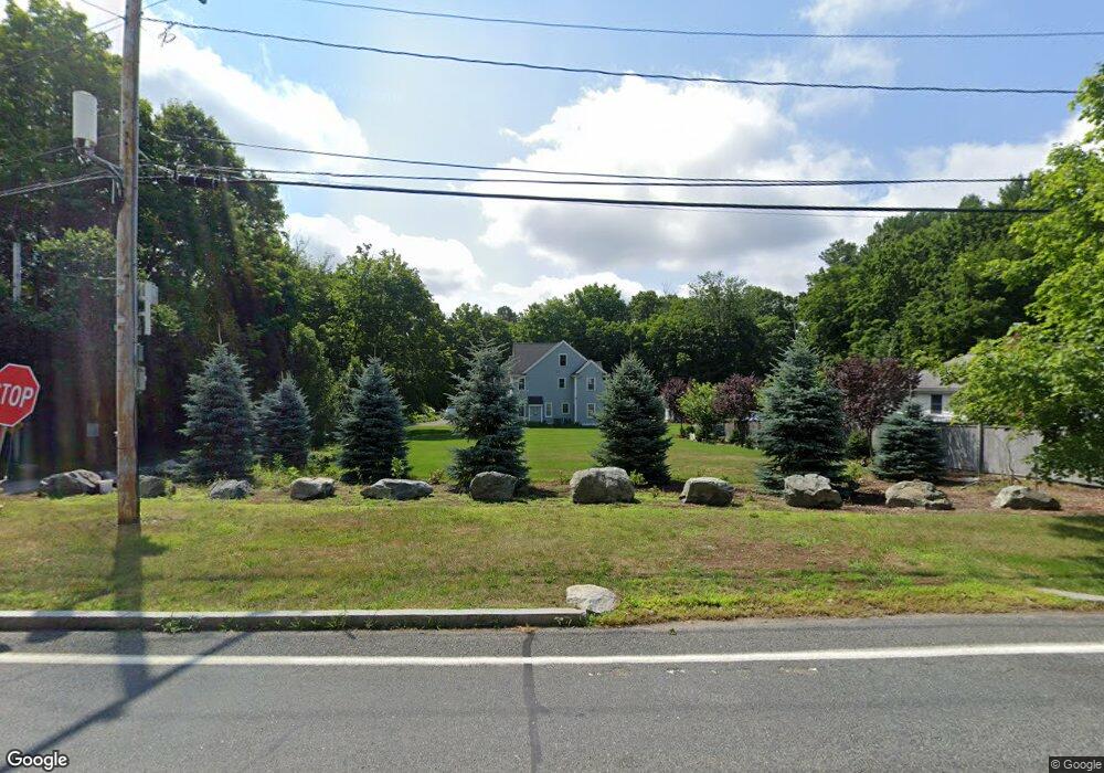
1336 South St Needham, MA 02492
Estimated Value: $2,447,000 - $2,782,000
5
Beds
4
Baths
2,017
Sq Ft
$1,300/Sq Ft
Est. Value
About This Home
This home is located at 1336 South St, Needham, MA 02492 and is currently estimated at $2,621,682, approximately $1,299 per square foot. 1336 South St is a home located in Norfolk County with nearby schools including Newman Elementary School, High Rock Middle School, and Pollard Middle School.
Ownership History
Date
Name
Owned For
Owner Type
Purchase Details
Closed on
Jan 30, 2014
Sold by
15 Wilson Lane Llc
Bought by
Psikarakis Anthony and Psikarakis Virginia
Current Estimated Value
Home Financials for this Owner
Home Financials are based on the most recent Mortgage that was taken out on this home.
Original Mortgage
$750,000
Outstanding Balance
$569,608
Interest Rate
4.47%
Mortgage Type
Purchase Money Mortgage
Estimated Equity
$2,052,074
Purchase Details
Closed on
Jul 5, 2011
Sold by
George Estelle
Bought by
15 Wilson Lane Llc
Home Financials for this Owner
Home Financials are based on the most recent Mortgage that was taken out on this home.
Original Mortgage
$800,000
Interest Rate
4.62%
Mortgage Type
Purchase Money Mortgage
Create a Home Valuation Report for This Property
The Home Valuation Report is an in-depth analysis detailing your home's value as well as a comparison with similar homes in the area
Home Values in the Area
Average Home Value in this Area
Purchase History
| Date | Buyer | Sale Price | Title Company |
|---|---|---|---|
| Psikarakis Anthony | $1,300,000 | -- | |
| 15 Wilson Lane Llc | $470,000 | -- | |
| 15 Wilson Lane Llc | $470,000 | -- |
Source: Public Records
Mortgage History
| Date | Status | Borrower | Loan Amount |
|---|---|---|---|
| Open | Psikarakis Anthony | $750,000 | |
| Previous Owner | 15 Wilson Lane Llc | $800,000 |
Source: Public Records
Tax History
| Year | Tax Paid | Tax Assessment Tax Assessment Total Assessment is a certain percentage of the fair market value that is determined by local assessors to be the total taxable value of land and additions on the property. | Land | Improvement |
|---|---|---|---|---|
| 2025 | $25,384 | $2,394,700 | $770,000 | $1,624,700 |
| 2024 | $26,769 | $2,138,100 | $696,600 | $1,441,500 |
| 2023 | $24,472 | $1,876,700 | $696,600 | $1,180,100 |
| 2022 | $22,177 | $1,658,700 | $528,100 | $1,130,600 |
| 2021 | $21,613 | $1,658,700 | $528,100 | $1,130,600 |
| 2020 | $20,145 | $1,612,900 | $527,700 | $1,085,200 |
| 2019 | $19,704 | $1,590,300 | $527,700 | $1,062,600 |
| 2018 | $18,418 | $1,550,300 | $527,700 | $1,022,600 |
| 2017 | $16,392 | $1,378,600 | $527,700 | $850,900 |
| 2016 | $13,637 | $1,181,700 | $527,700 | $654,000 |
| 2015 | $13,341 | $1,181,700 | $527,700 | $654,000 |
| 2014 | $12,668 | $1,088,300 | $527,700 | $560,600 |
Source: Public Records
Map
Nearby Homes
- 8 Crestview Rd
- 52 Willow St
- 34 Stratford Rd
- 24 Moseley Ave
- 1 Mill St
- 1780 Central Ave
- 37 Carleton Dr
- 365 Charles River St
- 957 South St
- 189 Bridle Trail Rd
- 95 Deerfield Rd
- 60 Claybrook Rd
- 62 Claybrook Rd
- 287 High Rock St
- 47 Emerson Rd
- 569 Chestnut St
- 620 High Rock St
- 53 Heather Ln
- 150 Laurel Dr
- 25 Bretton Rd
- 15 Wilson Ln
- 101 Wilson Ln
- 1346 South St
- 1360 South St
- 1316 South St
- 34 Wilson Ln
- 1347 South St
- 1345 South St
- 1345 South St Unit 1
- 1345 South St Unit 2
- 8 Charles River St
- 1327 South St
- 6 Charles River St
- 1315 South St
- 1302 South St
- 1391 South St
- 1307 South St
- 11 Charles River St
- 35 Wilson Ln
- 60 Wilson Ln
Your Personal Tour Guide
Ask me questions while you tour the home.