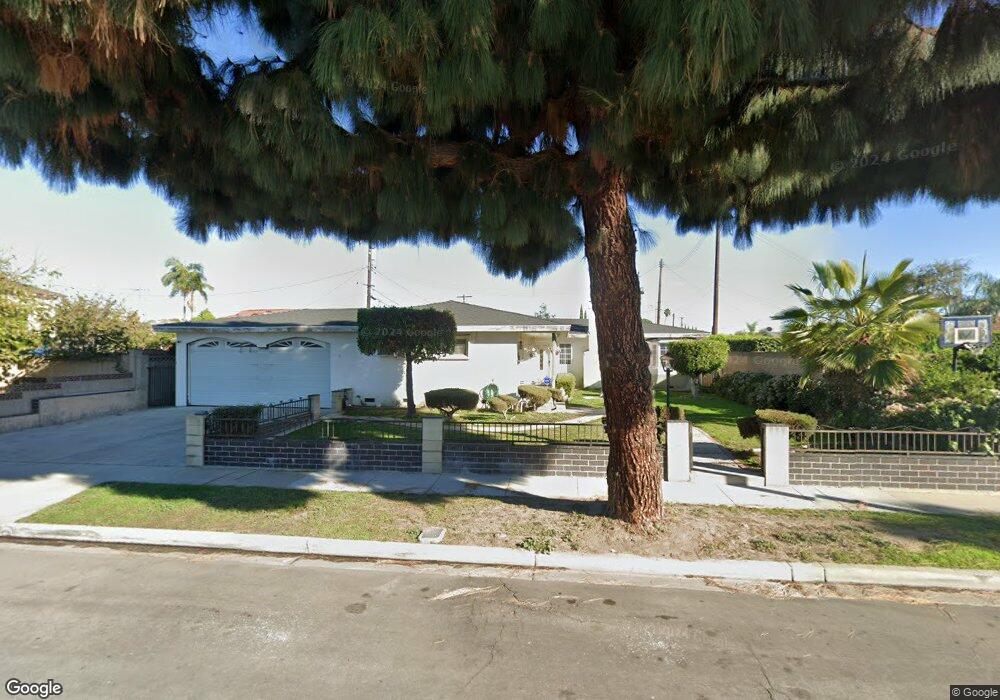
13362 Safford St Garden Grove, CA 92843
Estimated Value: $1,024,000 - $1,224,000
4
Beds
4
Baths
2,091
Sq Ft
$529/Sq Ft
Est. Value
About This Home
This home is located at 13362 Safford St, Garden Grove, CA 92843 and is currently estimated at $1,105,376, approximately $528 per square foot. 13362 Safford St is a home located in Orange County with nearby schools including Peters K-3 Elementary School, Garden Grove High School, and King Of Kings Lutheran School.
Ownership History
Date
Name
Owned For
Owner Type
Purchase Details
Closed on
Nov 6, 2000
Sold by
Tolentino Myra Y and Tolentino Irene Y
Bought by
Tolentino Juanito M
Current Estimated Value
Home Financials for this Owner
Home Financials are based on the most recent Mortgage that was taken out on this home.
Original Mortgage
$165,000
Interest Rate
7.82%
Purchase Details
Closed on
Jun 17, 1996
Sold by
Myrna
Bought by
Tolentino Juanito M and Tolentino Myra Y
Create a Home Valuation Report for This Property
The Home Valuation Report is an in-depth analysis detailing your home's value as well as a comparison with similar homes in the area
Home Values in the Area
Average Home Value in this Area
Purchase History
| Date | Buyer | Sale Price | Title Company |
|---|---|---|---|
| Tolentino Juanito M | -- | Lawyers Title Company | |
| Tolentino Juanito M | -- | -- |
Source: Public Records
Mortgage History
| Date | Status | Borrower | Loan Amount |
|---|---|---|---|
| Closed | Tolentino Juanito M | $165,000 |
Source: Public Records
Tax History Compared to Growth
Tax History
| Year | Tax Paid | Tax Assessment Tax Assessment Total Assessment is a certain percentage of the fair market value that is determined by local assessors to be the total taxable value of land and additions on the property. | Land | Improvement |
|---|---|---|---|---|
| 2025 | $5,000 | $397,349 | $245,661 | $151,688 |
| 2024 | $5,000 | $389,558 | $240,844 | $148,714 |
| 2023 | $4,906 | $381,920 | $236,121 | $145,799 |
| 2022 | $4,796 | $374,432 | $231,491 | $142,941 |
| 2021 | $4,728 | $367,091 | $226,952 | $140,139 |
| 2020 | $4,671 | $363,327 | $224,624 | $138,703 |
| 2019 | $4,607 | $356,203 | $220,219 | $135,984 |
| 2018 | $4,494 | $349,219 | $215,901 | $133,318 |
| 2017 | $4,447 | $342,372 | $211,668 | $130,704 |
| 2016 | $4,226 | $335,659 | $207,517 | $128,142 |
| 2015 | $4,170 | $330,618 | $204,400 | $126,218 |
| 2014 | $4,073 | $324,142 | $200,396 | $123,746 |
Source: Public Records
Map
Nearby Homes
- 13621 Malibu St
- 13801 Shirley St Unit 25
- 13052 Rockinghorse Rd
- 11321 Parkgreen Ln Unit 102
- 13312 Michael Rainford Cir
- 12851 Newhope St
- 12861 West St Unit 157
- 12861 West St Unit 100
- 1609 N Parsons Place
- 12662 Woodland Ln
- 13372 Jessica Dr
- 12727 West St
- 13111 Rainbow St
- 12152 Trask Ave Unit 29
- 12501 Dessa Dr
- 10866 Westminster Ave Unit 1
- 10866 Westminster Ave Unit 10
- 10852 Stanford Ave
- 10422 Bonnie Dr
- 12600 Euclid St Unit 19
- 11382 Banner Ave
- 11381 Glen Cove Dr
- 13371 Neptune Ct
- 11391 Glen Cove Dr
- 11392 Banner Ave
- 11402 Banner Ave
- 11411 Glen Cove Dr
- 13361 Safford St
- 13371 Safford St
- 13351 Safford St
- 13365 Neptune Ct
- 11422 Banner Ave
- 13341 Safford St
- 13391 Safford St
- 13331 Safford St
- 11432 Banner Ave
- 13372 Neptune Ct
- 11381 Banner Ave
- 11392 Glen Cove Dr
- 11401 Banner Ave