13366 County Road 265 Kenton, OH 43326
Estimated Value: $109,120 - $152,000
3
Beds
1
Bath
1,200
Sq Ft
$113/Sq Ft
Est. Value
About This Home
This home is located at 13366 County Road 265, Kenton, OH 43326 and is currently estimated at $135,530, approximately $112 per square foot. 13366 County Road 265 is a home located in Hardin County with nearby schools including Kenton Elementary School, Kenton Middle School, and Kenton High School.
Ownership History
Date
Name
Owned For
Owner Type
Purchase Details
Closed on
Feb 8, 2021
Sold by
Bmar Holdings Llc
Bought by
Ferryman Angela
Current Estimated Value
Home Financials for this Owner
Home Financials are based on the most recent Mortgage that was taken out on this home.
Original Mortgage
$50,130
Outstanding Balance
$48,591
Interest Rate
10%
Mortgage Type
Land Contract Argmt. Of Sale
Estimated Equity
$86,939
Purchase Details
Closed on
Aug 21, 2014
Sold by
Bmar Holdings Llc
Bought by
Phipps Gary and Phipps Susan
Home Financials for this Owner
Home Financials are based on the most recent Mortgage that was taken out on this home.
Original Mortgage
$57,500
Interest Rate
4.1%
Mortgage Type
Land Contract Argmt. Of Sale
Purchase Details
Closed on
Aug 1, 2013
Sold by
Weaver Phillip L
Bought by
Bmar Holdings Llc
Purchase Details
Closed on
Jan 31, 2012
Sold by
Weaver Phillip L
Bought by
Dennis Chrystal N
Purchase Details
Closed on
Jan 19, 2011
Sold by
Fannie Mae
Bought by
Weaver Phillip L
Purchase Details
Closed on
Sep 28, 2010
Sold by
Aldridge Larry W
Bought by
Federal National Mortgage Association
Purchase Details
Closed on
May 3, 1995
Bought by
Aldridge Larry W
Purchase Details
Closed on
Apr 5, 1993
Bought by
Horne Rex M and Horne Peggy S
Purchase Details
Closed on
Aug 30, 1991
Purchase Details
Closed on
Aug 29, 1991
Purchase Details
Closed on
Aug 16, 1989
Purchase Details
Closed on
Jun 8, 1989
Purchase Details
Closed on
Feb 2, 1989
Create a Home Valuation Report for This Property
The Home Valuation Report is an in-depth analysis detailing your home's value as well as a comparison with similar homes in the area
Home Values in the Area
Average Home Value in this Area
Purchase History
| Date | Buyer | Sale Price | Title Company |
|---|---|---|---|
| Ferryman Angela | $58,000 | None Available | |
| Phipps Gary | -- | None Available | |
| Bmar Holdings Llc | $47,500 | None Available | |
| Dennis Chrystal N | $49,900 | None Available | |
| Weaver Phillip L | $15,500 | Accutitle Agency Inc | |
| Federal National Mortgage Association | $21,000 | -- | |
| Aldridge Larry W | $35,000 | -- | |
| Horne Rex M | $18,000 | -- | |
| -- | $17,000 | -- | |
| -- | -- | -- | |
| -- | $20,000 | -- | |
| -- | $14,300 | -- | |
| -- | $6,000 | -- |
Source: Public Records
Mortgage History
| Date | Status | Borrower | Loan Amount |
|---|---|---|---|
| Open | Ferryman Angela | $50,130 | |
| Previous Owner | Phipps Gary | $57,500 |
Source: Public Records
Tax History Compared to Growth
Tax History
| Year | Tax Paid | Tax Assessment Tax Assessment Total Assessment is a certain percentage of the fair market value that is determined by local assessors to be the total taxable value of land and additions on the property. | Land | Improvement |
|---|---|---|---|---|
| 2024 | $1,530 | $20,240 | $2,560 | $17,680 |
| 2023 | $1,530 | $20,240 | $2,560 | $17,680 |
| 2022 | $996 | $8,000 | $2,680 | $5,320 |
| 2021 | $999 | $8,000 | $2,680 | $5,320 |
| 2020 | $950 | $8,000 | $2,680 | $5,320 |
| 2019 | $889 | $6,810 | $2,560 | $4,250 |
| 2018 | $859 | $6,810 | $2,560 | $4,250 |
| 2017 | $525 | $6,810 | $2,560 | $4,250 |
| 2016 | $721 | $5,990 | $1,890 | $4,100 |
| 2015 | $221 | $5,990 | $1,890 | $4,100 |
| 2014 | $130 | $5,990 | $1,890 | $4,100 |
| 2013 | -- | $7,710 | $1,890 | $5,820 |
Source: Public Records
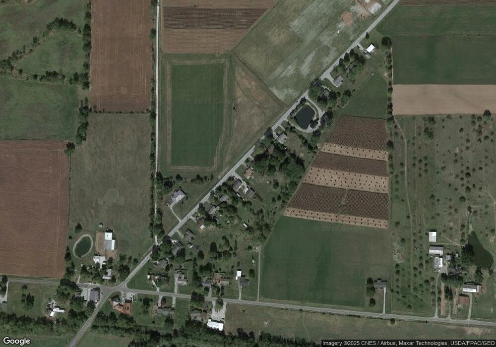
Map
Nearby Homes
- 21485 Elevator St
- 0 Ohio 309
- 23385 Township Road 126
- 18322 State Route 67
- 11896 Parklane Dr
- 13810 State Route 31
- 13450 State Route 292
- 920 Cooper St
- 115 Scioto St
- 1 C Ct
- 79 Broadway St
- 39 Grape St
- 530 E Franklin St
- 324 Stone Hedge Ln Unit 324
- 510 Decatur St
- 508 Decatur St
- 513 E Franklin St
- 509 E Carrol St
- 121 S High St
- 639 S Main St
- 13348 County Road 265
- 13386 County Road 265
- 13366 County Rd
- 13366 Cr
- 13348 County Rd
- 13348 Co Rd
- 13330 County Road 265
- 13310 County Road 265
- 13404 County Road 265
- 13310 Cr
- 13424 County Road 265
- 13437 County Road 265
- 13442 County Road 265
- 13437 Cr
- 13256 County Road 265
- 13462 County Road 265
- 13484 County Road 265
- 13242 Cr
- 13242 Co Rd