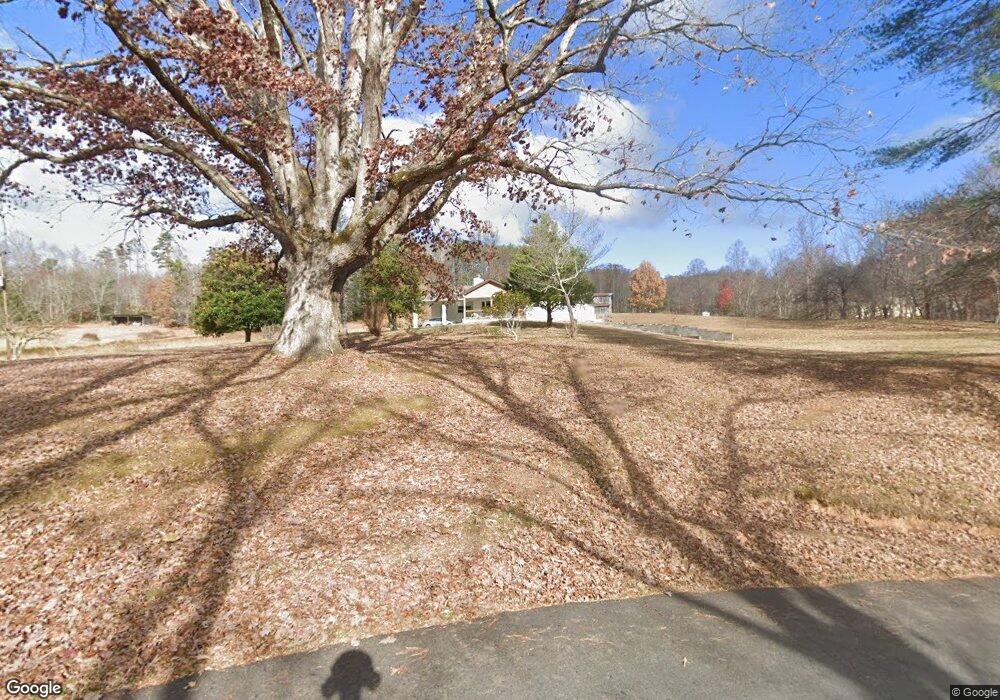
1337 Bryson Dr Unit TRACT 1 Young Harris, GA 30582
Estimated Value: $491,000 - $556,000
5
Beds
3
Baths
2,772
Sq Ft
$189/Sq Ft
Est. Value
About This Home
This home is located at 1337 Bryson Dr Unit TRACT 1, Young Harris, GA 30582 and is currently estimated at $522,882, approximately $188 per square foot. 1337 Bryson Dr Unit TRACT 1 is a home located in Towns County with nearby schools including Towns County Elementary School, Towns County Middle School, and Towns County High School.
Ownership History
Date
Name
Owned For
Owner Type
Purchase Details
Closed on
Jul 18, 2019
Sold by
Boll Shawna
Bought by
Holton Benjamin Royce and Holton Holly
Current Estimated Value
Home Financials for this Owner
Home Financials are based on the most recent Mortgage that was taken out on this home.
Original Mortgage
$130,000
Outstanding Balance
$82,929
Interest Rate
3.8%
Mortgage Type
New Conventional
Estimated Equity
$439,953
Purchase Details
Closed on
Jul 12, 2013
Sold by
Kirby James Bobby
Bought by
Brown Twilah and Boll Shawna
Purchase Details
Closed on
Feb 3, 1987
Bought by
Kirby James Bobby
Create a Home Valuation Report for This Property
The Home Valuation Report is an in-depth analysis detailing your home's value as well as a comparison with similar homes in the area
Home Values in the Area
Average Home Value in this Area
Purchase History
| Date | Buyer | Sale Price | Title Company |
|---|---|---|---|
| Holton Benjamin Royce | $230,000 | -- | |
| Brown Twilah | -- | -- | |
| Kirby James Bobby | -- | -- |
Source: Public Records
Mortgage History
| Date | Status | Borrower | Loan Amount |
|---|---|---|---|
| Open | Holton Benjamin Royce | $130,000 |
Source: Public Records
Tax History Compared to Growth
Tax History
| Year | Tax Paid | Tax Assessment Tax Assessment Total Assessment is a certain percentage of the fair market value that is determined by local assessors to be the total taxable value of land and additions on the property. | Land | Improvement |
|---|---|---|---|---|
| 2024 | $2,048 | $156,652 | $51,176 | $105,476 |
| 2023 | $1,686 | $119,932 | $24,680 | $95,252 |
| 2022 | $1,260 | $107,517 | $20,567 | $86,950 |
| 2021 | $1,152 | $95,546 | $20,566 | $74,980 |
| 2020 | $1,129 | $88,117 | $20,567 | $67,550 |
| 2019 | $504 | $48,677 | $20,567 | $28,110 |
| 2018 | $510 | $48,165 | $20,567 | $27,598 |
| 2017 | $544 | $49,367 | $23,604 | $25,763 |
| 2016 | $823 | $59,483 | $33,720 | $25,763 |
| 2015 | $833 | $59,483 | $33,720 | $25,763 |
| 2014 | $841 | $59,483 | $33,720 | $25,763 |
| 2013 | -- | $59,482 | $33,720 | $25,762 |
Source: Public Records
Map
Nearby Homes
- 1 Thomas Town Rd
- #68 Summerwood Ln
- 83 McTyeire Dr
- 92 McTyeire Dr
- 35 McTyeire Dr
- 162 Grandview Dr
- Lot 57 Asheland Overlook
- LOT 57 Asheland Cove Dr
- Lot 106 Asheland Cove Dr
- LT 95/97 Asheland Cove Dr Unit 95/97
- Lot 55 Asheland Cove Dr Unit 55
- LT 95/97 Asheland Cove Dr
- Lot 80 Asheland Cove Dr
- Lot 55 Asheland Cove Dr
- LOT 10 Asheland Cove
- 83 Nathans Path
- L93 - 95 Timberline Dr
- 1337 Bryson Dr
- 482 Sunset Dr
- 427 Sunset Dr
- 4848 Thomas Town Rd
- 471 Sunset Dr E
- 29&30 W Sunset Dr
- W Sunset Estates 29-30
- 29,30 W Sunset Estates
- 4900 Thomas Town Rd
- 99 Double Knobs Trail
- 4220 Thomas Town Rd
- .76AC Sunset Dr
- Lt29&30 Sunset Dr
- LOT 29 & 30 Sunset Dr
- LOT 29&30 Sunset Dr
- 29&30 Sunset Dr
- 0.76AC Sunset Dr
- 565 Sunset Dr
- 4 AC Sunset Dr
- 449 Bryson Rd