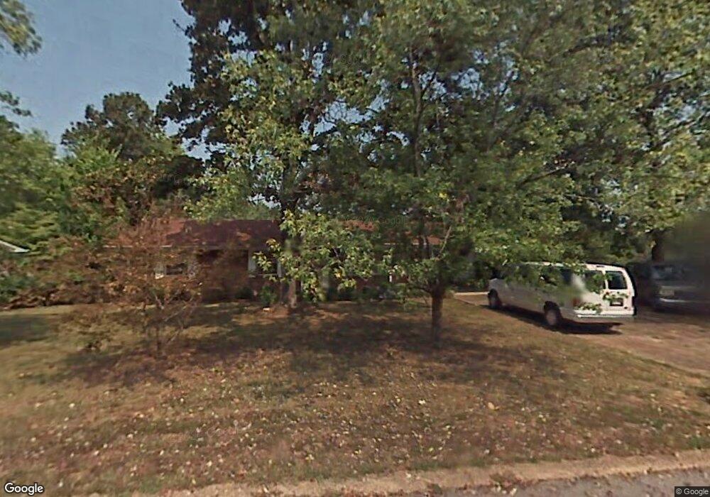
1337 Clearpoint Dr Hixson, TN 37343
Dupont NeighborhoodEstimated Value: $276,060 - $309,000
3
Beds
2
Baths
1,400
Sq Ft
$214/Sq Ft
Est. Value
About This Home
This home is located at 1337 Clearpoint Dr, Hixson, TN 37343 and is currently estimated at $300,015, approximately $214 per square foot. 1337 Clearpoint Dr is a home located in Hamilton County with nearby schools including DuPont Elementary School, St Jude School, and St. Peter's Episcopal School.
Ownership History
Date
Name
Owned For
Owner Type
Purchase Details
Closed on
Sep 18, 2009
Sold by
Dowdy J D and Hatley Hilda D
Bought by
Thorn Elizabeth
Current Estimated Value
Home Financials for this Owner
Home Financials are based on the most recent Mortgage that was taken out on this home.
Original Mortgage
$98,000
Outstanding Balance
$63,798
Interest Rate
5.1%
Mortgage Type
New Conventional
Estimated Equity
$236,217
Purchase Details
Closed on
Feb 21, 2007
Sold by
Dowdy J D and Hatley Hilda D
Bought by
Dowdy J D and Hatley Hilda D
Create a Home Valuation Report for This Property
The Home Valuation Report is an in-depth analysis detailing your home's value as well as a comparison with similar homes in the area
Home Values in the Area
Average Home Value in this Area
Purchase History
| Date | Buyer | Sale Price | Title Company |
|---|---|---|---|
| Thorn Elizabeth | $122,500 | Realty Title & Escrow Servic | |
| Dowdy J D | -- | None Available |
Source: Public Records
Mortgage History
| Date | Status | Borrower | Loan Amount |
|---|---|---|---|
| Open | Thorn Elizabeth | $98,000 |
Source: Public Records
Tax History Compared to Growth
Tax History
| Year | Tax Paid | Tax Assessment Tax Assessment Total Assessment is a certain percentage of the fair market value that is determined by local assessors to be the total taxable value of land and additions on the property. | Land | Improvement |
|---|---|---|---|---|
| 2024 | $822 | $36,725 | $0 | $0 |
| 2023 | $822 | $36,725 | $0 | $0 |
| 2022 | $822 | $36,725 | $0 | $0 |
| 2021 | $822 | $36,725 | $0 | $0 |
| 2020 | $852 | $30,800 | $0 | $0 |
| 2019 | $852 | $30,800 | $0 | $0 |
| 2018 | $828 | $30,800 | $0 | $0 |
| 2017 | $852 | $30,800 | $0 | $0 |
| 2016 | $804 | $0 | $0 | $0 |
| 2015 | $1,591 | $29,075 | $0 | $0 |
| 2014 | $1,591 | $0 | $0 | $0 |
Source: Public Records
Map
Nearby Homes
- 4607 Cloverdale Loop
- 1313 Michael Ln
- 1328 Michael Ln
- 1638 Green Hill Dr
- 4739 Tessie Ln
- 1237 Cranbrook Dr
- 4706 Eldridge Rd
- 810 Forest Dale Ln
- 607 Mountain Wood Dr
- 1428 Highcrest Dr
- 5215 Austin Rd
- 1231 Gadd Rd
- 5312 Austin Rd
- 1716 Strawberry Ln
- 5195 Austin Rd
- 5307 Delashmitt Rd
- 1308 Gadd Rd
- 4810 Delashmitt Rd
- 5227 Lawana Ln
- 1226 Thomas Ln
- 1335 Clearpoint Dr
- 1339 Clearpoint Dr
- 4630 Cloverdale Loop
- 4628 Cloverdale Loop
- 1333 Clearpoint Dr
- 1338 Clearpoint Dr
- 1336 Clearpoint Dr
- 4626 Cloverdale Loop
- 1340 Clearpoint Dr
- 1340 Clearpoint Dr Unit 1
- 1334 Clearpoint Dr
- 0 Clearpoint Dr Unit 1152475
- 0 Clearpoint Dr Unit 1152474
- 1331 Clearpoint Dr
- 1332 Clearpoint Dr
- 1401 Clearpoint Dr
- 4629 Cloverdale Loop
- 4631 Cloverdale Loop
- 4627 Cloverdale Loop
- 4624 Cloverdale Loop