1337 Us Highway 42 Ashland, OH 44805
Estimated Value: $280,000 - $312,000
3
Beds
1
Bath
1,080
Sq Ft
$273/Sq Ft
Est. Value
About This Home
This home is located at 1337 Us Highway 42, Ashland, OH 44805 and is currently estimated at $295,070, approximately $273 per square foot. 1337 Us Highway 42 is a home located in Ashland County with nearby schools including Ashland High School, Ashland County Community Academy, and Ashland Christian Elementary School.
Ownership History
Date
Name
Owned For
Owner Type
Purchase Details
Closed on
May 2, 2025
Sold by
Schwan Nicolaus F and Schwan Lisa E
Bought by
Bailey Richard C and Bailey Jenny L
Current Estimated Value
Home Financials for this Owner
Home Financials are based on the most recent Mortgage that was taken out on this home.
Original Mortgage
$284,747
Outstanding Balance
$283,743
Interest Rate
6.67%
Mortgage Type
FHA
Estimated Equity
$11,327
Purchase Details
Closed on
Dec 9, 2011
Sold by
Spreng Kay F
Bought by
Schwan Nicolaus F and Schwan Lisa E
Purchase Details
Closed on
Jan 20, 2010
Sold by
Spreng Kay F
Bought by
Spreng Kay F
Purchase Details
Closed on
Mar 27, 2009
Sold by
Spreng John L and Spreng Kay F
Bought by
Spreng Kay F
Purchase Details
Closed on
Jan 1, 1990
Bought by
Spreng John L
Create a Home Valuation Report for This Property
The Home Valuation Report is an in-depth analysis detailing your home's value as well as a comparison with similar homes in the area
Home Values in the Area
Average Home Value in this Area
Purchase History
| Date | Buyer | Sale Price | Title Company |
|---|---|---|---|
| Bailey Richard C | $290,000 | Castle Real Estate Title | |
| Bailey Richard C | $290,000 | Castle Real Estate Title | |
| Schwan Nicolaus F | -- | -- | |
| Spreng Kay F | -- | -- | |
| Spreng Kay F | -- | -- | |
| Spreng John L | -- | -- |
Source: Public Records
Mortgage History
| Date | Status | Borrower | Loan Amount |
|---|---|---|---|
| Open | Bailey Richard C | $284,747 | |
| Closed | Bailey Richard C | $284,747 |
Source: Public Records
Tax History Compared to Growth
Tax History
| Year | Tax Paid | Tax Assessment Tax Assessment Total Assessment is a certain percentage of the fair market value that is determined by local assessors to be the total taxable value of land and additions on the property. | Land | Improvement |
|---|---|---|---|---|
| 2024 | $2,598 | $70,170 | $12,870 | $57,300 |
| 2023 | $2,598 | $70,170 | $12,870 | $57,300 |
| 2022 | $2,547 | $53,980 | $9,900 | $44,080 |
| 2021 | $2,556 | $53,980 | $9,900 | $44,080 |
| 2020 | $2,430 | $53,980 | $9,900 | $44,080 |
| 2019 | $2,369 | $48,730 | $9,030 | $39,700 |
| 2018 | $2,376 | $48,730 | $9,030 | $39,700 |
| 2017 | $2,184 | $48,730 | $9,030 | $39,700 |
| 2016 | $2,184 | $43,130 | $7,990 | $35,140 |
| 2015 | $2,165 | $43,130 | $7,990 | $35,140 |
| 2013 | $2,219 | $43,340 | $7,080 | $36,260 |
Source: Public Records
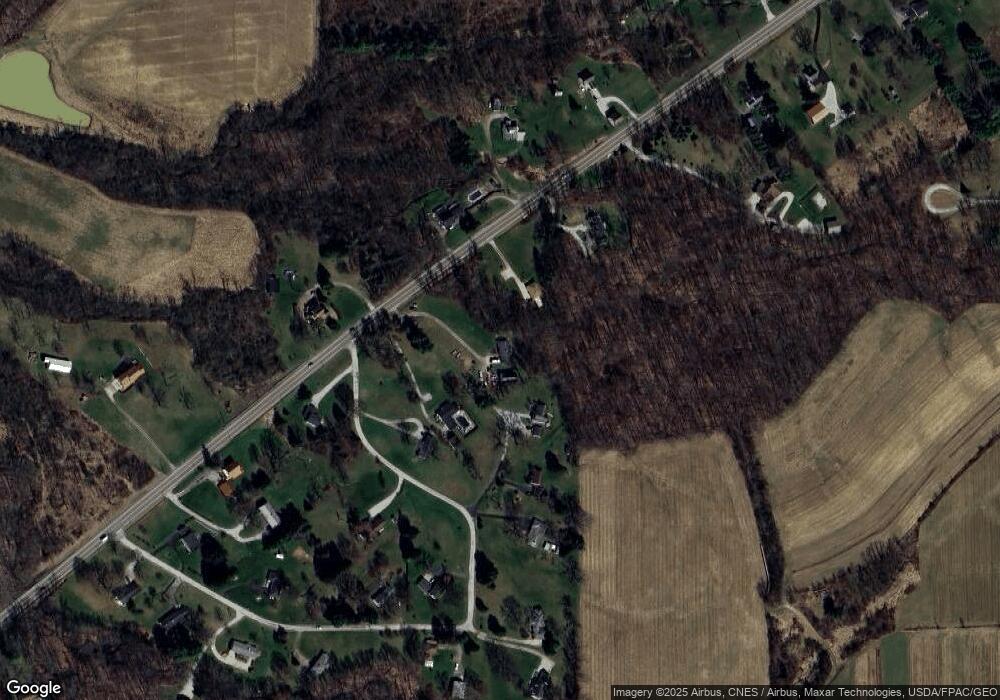
Map
Nearby Homes
- 1767 State Route 603
- 1696 Township Road 1419
- 1170 Township Road 1426
- 1202 County Road 1356
- 959 Avalon Dr
- 1706 Kingwood Ct
- 3290 Shad Dr W
- 2244 Pavonia North Rd
- 1015 Township Road 1696
- 1581 County Road 995
- 1690 County Road 995
- 2202 Lakewood Dr
- 2331 Fleming Falls Rd
- 945 Pike Dr
- 977 Township Road 1514 Unit C
- 977-C Township Road 1514
- 1026 Claremont Ave
- 531 Keen Ave
- 19 Maine St
- 1439 Township Road 1238
- 1333 Us Highway 42
- 1623 Township Road 1323
- 1623-A Township Road 1323
- 1339 Us Highway 42
- 1334 Us Highway 42
- 1334 U S 42
- 1613 Township Road 1323
- 1342 Us Highway 42
- 1329 Us Highway 42
- 1625 Township Road 1323
- 1342 Us Rt 42
- 1612 Township Road 1323
- 1626 Township Road 1323
- 1326 Us Highway 42
- 1325 Us Highway 42
- 1642 Township Road 1323
- 1629 Township Road 1323
- 1321 Us Highway 42
- 1351 Us Highway 42
- 1346 Us Highway 42