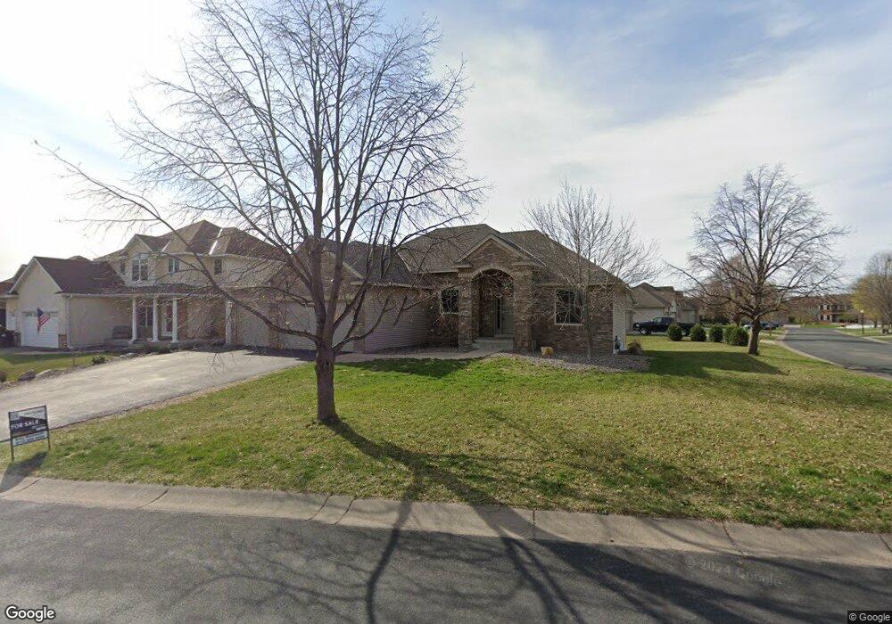
1338 129th Ave NW Coon Rapids, MN 55448
Estimated Value: $402,000 - $582,000
3
Beds
2
Baths
2,002
Sq Ft
$238/Sq Ft
Est. Value
About This Home
This home is located at 1338 129th Ave NW, Coon Rapids, MN 55448 and is currently estimated at $475,923, approximately $237 per square foot. 1338 129th Ave NW is a home located in Anoka County with nearby schools including Sand Creek Elementary School, Coon Rapids Middle School, and Coon Rapids Senior High School.
Ownership History
Date
Name
Owned For
Owner Type
Purchase Details
Closed on
Apr 19, 2006
Sold by
Scott Olmstead Builders Inc
Bought by
Estrem Todd and Estrem Tawnya
Current Estimated Value
Purchase Details
Closed on
Jun 18, 2002
Sold by
Twin Peaks Properties Llc
Bought by
Scott Olmstead Builders Inc
Create a Home Valuation Report for This Property
The Home Valuation Report is an in-depth analysis detailing your home's value as well as a comparison with similar homes in the area
Home Values in the Area
Average Home Value in this Area
Purchase History
| Date | Buyer | Sale Price | Title Company |
|---|---|---|---|
| Estrem Todd | $415,000 | -- | |
| Scott Olmstead Builders Inc | $219,700 | -- |
Source: Public Records
Mortgage History
| Date | Status | Borrower | Loan Amount |
|---|---|---|---|
| Closed | Scott Olmstead Builders Inc | -- |
Source: Public Records
Tax History
| Year | Tax Paid | Tax Assessment Tax Assessment Total Assessment is a certain percentage of the fair market value that is determined by local assessors to be the total taxable value of land and additions on the property. | Land | Improvement |
|---|---|---|---|---|
| 2025 | $1,868 | $194,700 | $46,000 | $148,700 |
| 2024 | $1,868 | $173,100 | $44,000 | $129,100 |
| 2023 | $1,789 | $197,600 | $42,000 | $155,600 |
| 2022 | $2,229 | $181,400 | $42,000 | $139,400 |
| 2021 | $2,107 | $199,100 | $50,000 | $149,100 |
| 2020 | $2,109 | $183,500 | $42,500 | $141,000 |
| 2019 | $2,093 | $175,600 | $37,500 | $138,100 |
| 2018 | $2,033 | $168,800 | $0 | $0 |
| 2017 | $1,981 | $158,400 | $0 | $0 |
| 2016 | $1,995 | $148,300 | $0 | $0 |
| 2015 | -- | $148,300 | $26,500 | $121,800 |
| 2014 | -- | $134,600 | $29,400 | $105,200 |
Source: Public Records
Map
Nearby Homes
- 12806 Yellow Pine St NW
- 1258 127th Ave NW
- 12739 Drake Cir NW
- 13145 Avocet St NW
- 1681 128th Ave NW
- 1680 129th Cir NW
- 13232 Grouse St NW
- 1914 128th Ave NW
- 12459 Drake St NW
- 12463 Drake St NW
- 923 123rd Ln NW
- 12118 Bluebird Cir NW
- 12113 Drake St NW
- 12250 Unity St NW
- 2060 125th Ln NW
- 12240 Killdeer St NW Unit 1203
- 12121 Killdeer St NW Unit 110
- 12036 Yellow Pine St NW
- 1146 137th Ln NW
- 1830 121st Ln NW Unit 611
- 1338 129th Ave NW
- 12863 Bluebird St NW
- 1306 129th Ave NW
- 12860 Avocet St NW
- 12886 Bluebird St NW
- 12907 Bluebird St NW
- 12855 Bluebird St NW
- 12872 Bluebird St NW
- 12908 Avocet St NW
- 12900 Bluebird St NW
- 12848 Avocet St NW
- 1299x 1299x Avocet-Street-nw
- 12917 Bluebird St NW
- 12858 Bluebird St NW
- 12922 Avocet St NW
- 12839 Bluebird St NW
- 12836 Avocet St NW
- 1440 129th Ave NW
- 12914 Bluebird St NW
- 12889 Avocet St NW
Your Personal Tour Guide
Ask me questions while you tour the home.