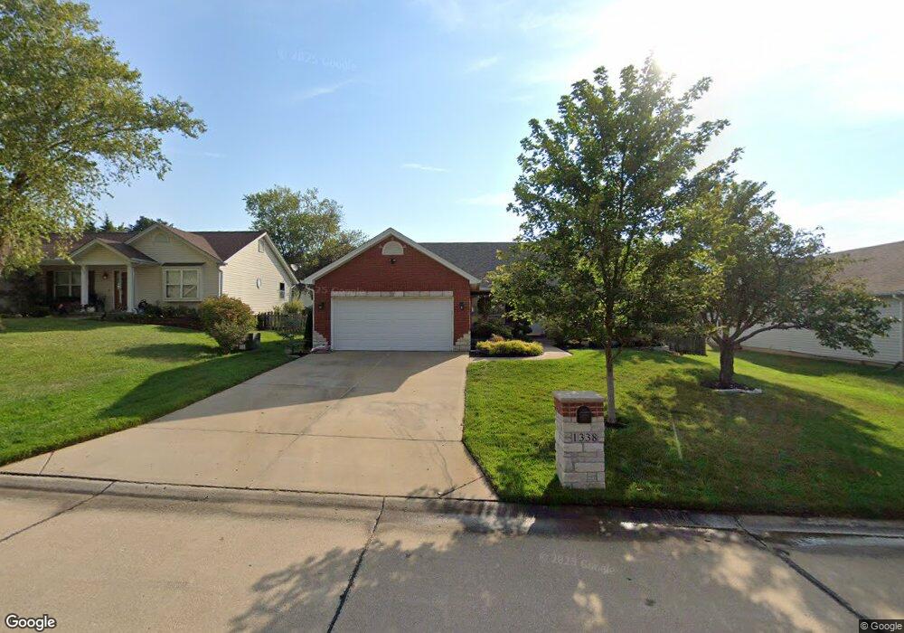
1338 Franklins Kite Dr O Fallon, MO 63366
Estimated Value: $332,000 - $370,000
3
Beds
2
Baths
1,550
Sq Ft
$225/Sq Ft
Est. Value
About This Home
This home is located at 1338 Franklins Kite Dr, O Fallon, MO 63366 and is currently estimated at $349,387, approximately $225 per square foot. 1338 Franklins Kite Dr is a home located in St. Charles County with nearby schools including Rock Creek Elementary School, Fort Zumwalt West Middle School, and Fort Zumwalt West High School.
Ownership History
Date
Name
Owned For
Owner Type
Purchase Details
Closed on
Nov 3, 2000
Sold by
Lucas James and Lucas Pauline
Bought by
Berviller Jason and Berviller Margaret
Current Estimated Value
Home Financials for this Owner
Home Financials are based on the most recent Mortgage that was taken out on this home.
Original Mortgage
$126,635
Outstanding Balance
$46,629
Interest Rate
7.87%
Mortgage Type
FHA
Estimated Equity
$302,758
Create a Home Valuation Report for This Property
The Home Valuation Report is an in-depth analysis detailing your home's value as well as a comparison with similar homes in the area
Home Values in the Area
Average Home Value in this Area
Purchase History
| Date | Buyer | Sale Price | Title Company |
|---|---|---|---|
| Berviller Jason | $126,700 | -- |
Source: Public Records
Mortgage History
| Date | Status | Borrower | Loan Amount |
|---|---|---|---|
| Open | Berviller Jason | $126,635 |
Source: Public Records
Tax History
| Year | Tax Paid | Tax Assessment Tax Assessment Total Assessment is a certain percentage of the fair market value that is determined by local assessors to be the total taxable value of land and additions on the property. | Land | Improvement |
|---|---|---|---|---|
| 2025 | $3,604 | $59,254 | -- | -- |
| 2023 | $3,605 | $54,430 | $0 | $0 |
| 2022 | $3,142 | $44,088 | $0 | $0 |
| 2021 | $3,145 | $44,088 | $0 | $0 |
| 2020 | $2,893 | $39,292 | $0 | $0 |
| 2019 | $2,900 | $39,292 | $0 | $0 |
| 2018 | $2,720 | $35,166 | $0 | $0 |
| 2017 | $2,682 | $35,166 | $0 | $0 |
| 2016 | $2,482 | $32,406 | $0 | $0 |
| 2015 | $2,307 | $32,406 | $0 | $0 |
| 2014 | $2,197 | $30,342 | $0 | $0 |
Source: Public Records
Map
Nearby Homes
- 1312 Washingtons Crossing Dr
- 36 Quakers Place
- 15 Pinehurst Ridge Ct
- 1362 Stone Creek Valley Cir Unit 465
- 1365 Presidents Landing Dr
- 300 Mill Pond Dr
- 132 Weatherby Landing Dr
- 1581 Tea Party Ln
- 217 Roaring River Dr
- 4 Shinnecock Hills
- 1532 Oakland Hills Dr
- 1455 Norwood Hills Dr
- 18 Plackemeier Dr
- 151 N Wellington St
- 617 Sundance Dr
- 33 Chip Dr
- 38 Downing St
- 66 Hickory Meadows Ct
- Mandalay Plan at The Enclave at Brook Hollow
- Hemingway Plan at The Enclave at Brook Hollow
- 1344 Franklins Kite Dr
- 1332 Franklins Kite Dr
- 13 Tinsmith Ct
- 15 Tinsmith Ct
- 9 Tinsmith Ct
- 1326 Franklins Kite Dr
- 1350 Franklins Kite Dr
- 17 Tinsmith Ct
- 2 Quakers Place
- 1331 Franklins Kite Dr
- 1320 Franklins Kite Dr
- 703 Tinsmith Place
- 19 Tinsmith Ct
- 14 Tinsmith Ct
- 3 Quakers Place
- 4 Quakers Place
- 1319 Franklins Kite Dr
- 12 Tinsmith Ct
- 16 Tinsmith Ct
- 21 Tinsmith Ct
