1338 Lyons Rd Amelia, OH 45102
Estimated Value: $334,000 - $582,198
3
Beds
2
Baths
1,729
Sq Ft
$247/Sq Ft
Est. Value
About This Home
This home is located at 1338 Lyons Rd, Amelia, OH 45102 and is currently estimated at $427,550, approximately $247 per square foot. 1338 Lyons Rd is a home located in Clermont County with nearby schools including Locust Corner Elementary School, New Richmond Middle School, and New Richmond High School.
Ownership History
Date
Name
Owned For
Owner Type
Purchase Details
Closed on
Aug 1, 2006
Sold by
Rose Tammy
Bought by
Gehrum Kirby
Current Estimated Value
Home Financials for this Owner
Home Financials are based on the most recent Mortgage that was taken out on this home.
Original Mortgage
$89,800
Outstanding Balance
$41,929
Interest Rate
9.25%
Mortgage Type
Purchase Money Mortgage
Estimated Equity
$385,621
Purchase Details
Closed on
Jun 5, 2006
Sold by
Estate Of Kenneth Hunter
Bought by
Rose Tammy
Home Financials for this Owner
Home Financials are based on the most recent Mortgage that was taken out on this home.
Original Mortgage
$89,800
Outstanding Balance
$41,929
Interest Rate
9.25%
Mortgage Type
Purchase Money Mortgage
Estimated Equity
$385,621
Purchase Details
Closed on
Jan 27, 2005
Sold by
Estate Of Ruth Hunter
Bought by
Hunter Kenneth G and Hunter Richard
Create a Home Valuation Report for This Property
The Home Valuation Report is an in-depth analysis detailing your home's value as well as a comparison with similar homes in the area
Home Values in the Area
Average Home Value in this Area
Purchase History
| Date | Buyer | Sale Price | Title Company |
|---|---|---|---|
| Gehrum Kirby | $89,800 | None Available | |
| Gehrum Kirby | $89,800 | None Available | |
| Gehrum Kirby | $89,800 | None Available | |
| Rose Tammy | -- | None Available | |
| Hunter Kenneth G | -- | -- |
Source: Public Records
Mortgage History
| Date | Status | Borrower | Loan Amount |
|---|---|---|---|
| Open | Gehrum Kirby | $89,800 |
Source: Public Records
Tax History
| Year | Tax Paid | Tax Assessment Tax Assessment Total Assessment is a certain percentage of the fair market value that is determined by local assessors to be the total taxable value of land and additions on the property. | Land | Improvement |
|---|---|---|---|---|
| 2024 | $6,222 | $152,990 | $40,670 | $112,320 |
| 2023 | $6,221 | $152,990 | $40,670 | $112,320 |
| 2022 | $5,427 | $106,760 | $28,390 | $78,370 |
| 2021 | $5,337 | $106,760 | $28,390 | $78,370 |
| 2020 | $5,322 | $106,760 | $28,390 | $78,370 |
| 2019 | $3,685 | $82,920 | $29,300 | $53,620 |
| 2018 | $3,686 | $82,920 | $29,300 | $53,620 |
| 2017 | $3,651 | $82,920 | $29,300 | $53,620 |
| 2016 | $3,651 | $75,400 | $26,640 | $48,760 |
| 2015 | $3,358 | $75,400 | $26,640 | $48,760 |
| 2014 | $3,358 | $75,400 | $26,640 | $48,760 |
| 2013 | $3,511 | $78,300 | $27,340 | $50,960 |
Source: Public Records
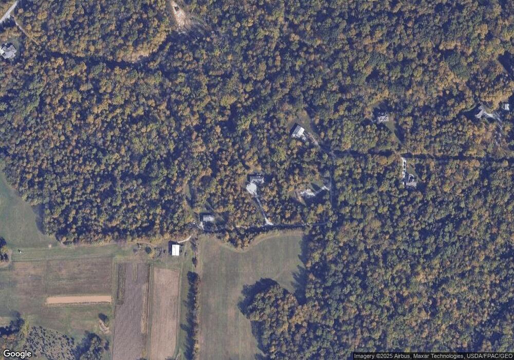
Map
Nearby Homes
- 1300 Riverwalk Dr
- 50 Robin Way
- 263 Deer Creek Dr
- 0 Fagins Run Rd Unit 1866377
- 3396 Merwin 10 Mile Rd
- 21 Mallard Dr
- 253 Deer Creek Dr
- 27 Heron Dr
- 11 Finch Ct
- 27 Locustwood Ct
- 1554 Denny Dr
- 3330 Huntsman Trace Unit 803C
- 288 Samplewood Ln
- 9 Woodside Park Dr
- 1700 White Birch
- 185 Woodside Park Dr
- 1969 Ohio 125
- 1821 Ohio 125
- 1136 Stewarton
- 57 Marigold Ln
Your Personal Tour Guide
Ask me questions while you tour the home.