Estimated Value: $68,843 - $220,000
Studio
1
Bath
1,478
Sq Ft
$100/Sq Ft
Est. Value
About This Home
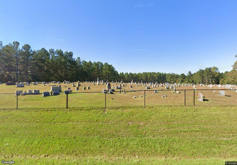
This home is located at 13381 Highway 492 E, Union, MS 39365 and is currently estimated at $147,461, approximately $99 per square foot. 13381 Highway 492 E is a home located in Neshoba County.
Ownership History
Date
Name
Owned For
Owner Type
Purchase Details
Closed on
Aug 2, 2016
Sold by
Cannon Dale R
Bought by
Dale R Life Estate
Current Estimated Value
Purchase Details
Closed on
Dec 30, 2010
Sold by
Cannon Edward T
Bought by
Cannon Dale R
Create a Home Valuation Report for This Property
The Home Valuation Report is an in-depth analysis detailing your home's value as well as a comparison with similar homes in the area
Purchase History
| Date | Buyer | Sale Price | Title Company |
|---|---|---|---|
| Dale R Life Estate | -- | -- | |
| Cannon Dale R | -- | -- |
Source: Public Records
Tax History
| Year | Tax Paid | Tax Assessment Tax Assessment Total Assessment is a certain percentage of the fair market value that is determined by local assessors to be the total taxable value of land and additions on the property. | Land | Improvement |
|---|---|---|---|---|
| 2025 | -- | $5,191 | $0 | $0 |
| 2024 | -- | $5,471 | $0 | $0 |
| 2023 | -- | $4,987 | $0 | $0 |
| 2022 | $546 | $4,987 | $0 | $0 |
| 2021 | $546 | $4,989 | $0 | $0 |
| 2020 | $546 | $4,990 | $0 | $0 |
| 2019 | $559 | $5,110 | $0 | $0 |
| 2018 | $559 | $5,111 | $0 | $0 |
| 2017 | $0 | $5,110 | $0 | $0 |
| 2016 | $0 | $5,107 | $0 | $0 |
| 2015 | -- | $5,008 | $0 | $0 |
| 2014 | -- | $5,004 | $0 | $0 |
Source: Public Records
Map
Nearby Homes
- 0 Road 270
- Hwy 19 Mississippi 491
- 11211 Road 723
- 0 Little Rock County Line Rd
- 0 Little Rock County Line Rd Unit 4096739
- 4188 Greenland Rd
- 12061 Highway 21 S
- 000 Greenland Rd
- 1421 Chesney Town Rd
- 4 County Road 444
- 1 County Road 444
- 0 Mississippi 15
- 3 County Road 347
- 2 County Road 347
- 702 E Jackson Rd
- 704 E Jackson Rd
- 218 Fifth St
- 14411 Road 505
- 201 5th St
- 0 North St
- 13401 Highway 492 E
- 13370 Highway 492 E
- 13311 Highway 492 E
- 13471 Highway 492 E
- 13460 Highway 492 E
- 470 Myrtle St E
- 10160 Road 2238
- 13611 Highway 492 E
- 11411 Road 701
- 13631 Highway 492 E
- 10061 Road 298
- 10021 Rd 717
- 12841 Highway 19 S
- 12851 Highway 19 S
- 10031 Road 1705
- 12381 Highway 19 S
- 12360 Highway 19 S
- 10331 Road 298
- 13040 Highway 492 E
- 10290 Road 2238
