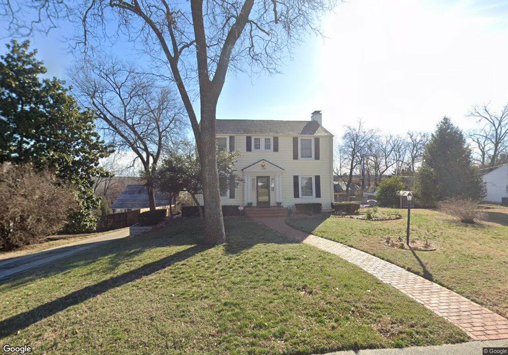
1339 Crest Dr Joplin, MO 64801
Roanoke NeighborhoodEstimated Value: $288,488 - $447,000
3
Beds
3
Baths
3,177
Sq Ft
$113/Sq Ft
Est. Value
About This Home
This home is located at 1339 Crest Dr, Joplin, MO 64801 and is currently estimated at $357,872, approximately $112 per square foot. 1339 Crest Dr is a home located in Jasper County with nearby schools including Columbia Elementary School, North Middle School, and Joplin High School.
Ownership History
Date
Name
Owned For
Owner Type
Purchase Details
Closed on
Feb 24, 2014
Sold by
Morgan Burlingame Janet and Burlingame Anson
Bought by
Fuller Stephen W and Fuller Margaret C
Current Estimated Value
Home Financials for this Owner
Home Financials are based on the most recent Mortgage that was taken out on this home.
Original Mortgage
$180,000
Outstanding Balance
$137,104
Interest Rate
4.47%
Mortgage Type
New Conventional
Estimated Equity
$220,768
Create a Home Valuation Report for This Property
The Home Valuation Report is an in-depth analysis detailing your home's value as well as a comparison with similar homes in the area
Home Values in the Area
Average Home Value in this Area
Purchase History
| Date | Buyer | Sale Price | Title Company |
|---|---|---|---|
| Fuller Stephen W | -- | None Available |
Source: Public Records
Mortgage History
| Date | Status | Borrower | Loan Amount |
|---|---|---|---|
| Open | Fuller Stephen W | $180,000 |
Source: Public Records
Tax History Compared to Growth
Tax History
| Year | Tax Paid | Tax Assessment Tax Assessment Total Assessment is a certain percentage of the fair market value that is determined by local assessors to be the total taxable value of land and additions on the property. | Land | Improvement |
|---|---|---|---|---|
| 2024 | $1,660 | $35,970 | $4,750 | $31,220 |
| 2023 | $1,660 | $35,970 | $4,750 | $31,220 |
| 2022 | $1,620 | $35,220 | $4,750 | $30,470 |
| 2021 | $1,609 | $35,220 | $4,750 | $30,470 |
| 2020 | $1,522 | $32,600 | $4,750 | $27,850 |
| 2019 | $1,526 | $32,600 | $4,750 | $27,850 |
| 2018 | $1,530 | $32,820 | $0 | $0 |
| 2017 | $1,536 | $32,820 | $0 | $0 |
| 2016 | $1,517 | $32,860 | $0 | $0 |
| 2015 | -- | $32,860 | $0 | $0 |
| 2014 | -- | $18,710 | $0 | $0 |
Source: Public Records
Map
Nearby Homes
- 915 W Kensington Rd
- 1002 NW Murphy Blvd
- 629 W Islington Place
- 802 Hampton Place
- 1025 Northridge Rd
- 1302 Cambridge Rd
- 711 N Moffet Ave
- 624 N Sergeant Ave
- 609 N Pearl Ave
- 605 N Pearl Ave
- 535 N Byers Ave
- 114 W F St
- 530 N Pearl Ave
- 525 N Pearl Ave
- 509 N Byers Ave
- 428 N Sergeant Ave
- 437 N Moffet Ave
- 531 N Wall Ave
- 530 N Joplin Ave
- 411 N Connor Ave
- 1351 Crest Dr
- 1333 Crest Dr
- 1345 Crest Dr
- 1328 Bramar Dr
- 1322 Bramar Dr
- 1318 Bramar Dr
- 1330 Crest Dr
- 1313 Crest Dr
- 1340 Crest Dr
- 1322 Crest Dr
- 1357 Crest Dr
- 1316 Crest Dr Unit 1322
- 1305 Crest Dr
- 1365 Crest Dr
- 1366 Crest Dr
- 1366 Crest Dr Unit 1
- 1245 Crest Dr
- 1321 Bramar Dr
- 1321 Bramar Dr
- 1304 Crest Dr