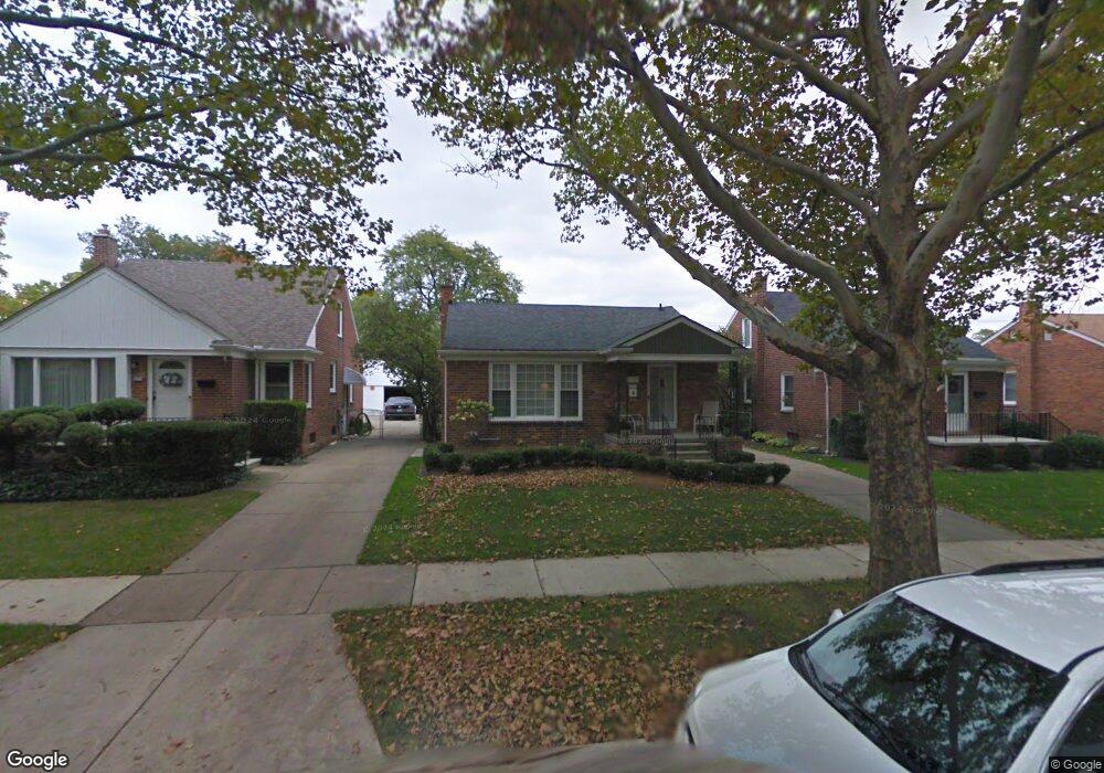
1339 E Melton Rd Birmingham, MI 48009
Estimated Value: $399,760 - $449,000
3
Beds
1
Bath
1,105
Sq Ft
$384/Sq Ft
Est. Value
About This Home
This home is located at 1339 E Melton Rd, Birmingham, MI 48009 and is currently estimated at $424,690, approximately $384 per square foot. 1339 E Melton Rd is a home located in Oakland County with nearby schools including Pembroke Elementary School, Derby Middle School, and Ernest W. Seaholm High School.
Ownership History
Date
Name
Owned For
Owner Type
Purchase Details
Closed on
Apr 16, 2025
Sold by
Hessen Kevin L and Hessen Terri M
Bought by
Hessen Kevin L and Himself Survivor Of
Current Estimated Value
Purchase Details
Closed on
Dec 16, 2016
Sold by
The Deyer Family Trust
Bought by
Hessen Kevin L and Hessen Terri M
Home Financials for this Owner
Home Financials are based on the most recent Mortgage that was taken out on this home.
Original Mortgage
$216,015
Interest Rate
3.25%
Mortgage Type
FHA
Purchase Details
Closed on
Jan 6, 2016
Sold by
Deyer Keith W and Deyer Carole A
Bought by
Deyer Family Trust and Deyer Carole A
Create a Home Valuation Report for This Property
The Home Valuation Report is an in-depth analysis detailing your home's value as well as a comparison with similar homes in the area
Home Values in the Area
Average Home Value in this Area
Purchase History
| Date | Buyer | Sale Price | Title Company |
|---|---|---|---|
| Hessen Kevin L | -- | None Listed On Document | |
| Himself Survivor Of | -- | None Listed On Document | |
| Hessen Kevin L | $220,000 | Devon Title Agency | |
| Deyer Family Trust | -- | Attorney |
Source: Public Records
Mortgage History
| Date | Status | Borrower | Loan Amount |
|---|---|---|---|
| Previous Owner | Hessen Kevin L | $216,015 |
Source: Public Records
Tax History
| Year | Tax Paid | Tax Assessment Tax Assessment Total Assessment is a certain percentage of the fair market value that is determined by local assessors to be the total taxable value of land and additions on the property. | Land | Improvement |
|---|---|---|---|---|
| 2025 | $5,110 | $175,680 | $0 | $0 |
| 2024 | $4,511 | $162,290 | $0 | $0 |
| 2023 | $4,322 | $149,670 | $0 | $0 |
| 2022 | $4,635 | $139,250 | $0 | $0 |
| 2021 | $4,676 | $131,930 | $0 | $0 |
| 2020 | $4,166 | $122,440 | $0 | $0 |
| 2019 | $4,715 | $115,230 | $0 | $0 |
| 2018 | $4,679 | $110,320 | $0 | $0 |
| 2017 | $4,671 | $107,680 | $0 | $0 |
| 2016 | $3,869 | $105,580 | $0 | $0 |
| 2015 | -- | $97,730 | $0 | $0 |
| 2014 | -- | $81,710 | $0 | $0 |
| 2011 | -- | $70,040 | $0 | $0 |
Source: Public Records
Map
Nearby Homes
- 1257 S Eton St
- 1909 W Melton Rd
- 1845 Humphrey Ave
- 1982 E Lincoln St
- 1815 E Lincoln St
- 1963 Cole St
- 1798 Webster St
- 1588 Bennaville Ave
- 1571 Ruffner Ave
- 1840 Holland St
- 1982 Haynes St
- 1476 Humphrey Ave
- 1732 Holland St
- 4725 Elmwood Ave
- 1723 E 14 Mile Rd Unit B
- 1717 E 14 Mile Rd Unit C
- 1544 Sheffield Rd
- 1368 Bennaville Ave
- 1323 Bennaville Ave
- 512 Graten St Unit 6
- 1327 E Melton Rd
- 1355 E Melton Rd
- 1373 E Melton Rd
- 1315 E Melton Rd
- 1387 E Melton Rd
- 1309 E Melton Rd
- 1291 E Melton Rd
- 1350 E Melton Rd
- 1312 E Melton Rd
- 1391 E Melton Rd
- 1388 E Melton Rd
- 1283 E Melton Rd
- 1417 E Melton Rd
- 1339 S Eton St
- 1275 S Eton St
- 1392 E Melton Rd
- 1363 S Eton St
- 2131 Sheffield Rd
- 1455 E Melton Rd
- 1418 E Melton Rd
Your Personal Tour Guide
Ask me questions while you tour the home.