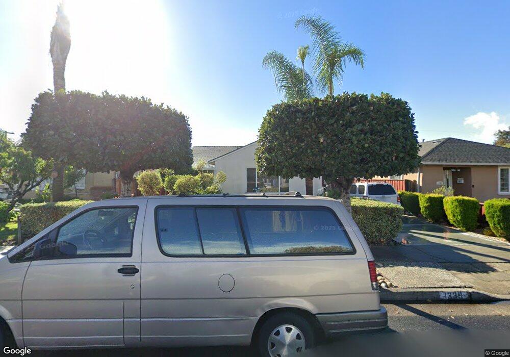
1339 Forrestal Ave San Jose, CA 95110
Estimated Value: $1,169,000 - $1,342,000
3
Beds
2
Baths
1,080
Sq Ft
$1,167/Sq Ft
Est. Value
About This Home
This home is located at 1339 Forrestal Ave, San Jose, CA 95110 and is currently estimated at $1,260,067, approximately $1,166 per square foot. 1339 Forrestal Ave is a home located in Santa Clara County with nearby schools including Muwekma Ohlone Middle, Abraham Lincoln High, and Walter L. Bachrodt Elementary School.
Ownership History
Date
Name
Owned For
Owner Type
Purchase Details
Closed on
Apr 28, 2003
Sold by
Awolowo Samuel Olusegun
Bought by
Derby Octovia Ronke
Current Estimated Value
Purchase Details
Closed on
Nov 15, 1996
Sold by
Awolowo Ollie Elsie
Bought by
Awolowo Samuel Olusegun
Home Financials for this Owner
Home Financials are based on the most recent Mortgage that was taken out on this home.
Original Mortgage
$135,000
Interest Rate
7.75%
Purchase Details
Closed on
Oct 25, 1996
Sold by
Hall Beatrice A and Hall Kathryn F
Bought by
Awolowo Samuel Olusegun
Home Financials for this Owner
Home Financials are based on the most recent Mortgage that was taken out on this home.
Original Mortgage
$135,000
Interest Rate
7.75%
Create a Home Valuation Report for This Property
The Home Valuation Report is an in-depth analysis detailing your home's value as well as a comparison with similar homes in the area
Home Values in the Area
Average Home Value in this Area
Purchase History
| Date | Buyer | Sale Price | Title Company |
|---|---|---|---|
| Derby Octovia Ronke | -- | -- | |
| Awolowo Samuel Olusegun | -- | Old Republic Title Company | |
| Awolowo Samuel Olusegun | $180,000 | Old Republic Title Company |
Source: Public Records
Mortgage History
| Date | Status | Borrower | Loan Amount |
|---|---|---|---|
| Previous Owner | Awolowo Samuel Olusegun | $135,000 |
Source: Public Records
Tax History Compared to Growth
Tax History
| Year | Tax Paid | Tax Assessment Tax Assessment Total Assessment is a certain percentage of the fair market value that is determined by local assessors to be the total taxable value of land and additions on the property. | Land | Improvement |
|---|---|---|---|---|
| 2025 | $7,901 | $568,339 | $227,332 | $341,007 |
| 2024 | $7,901 | $557,196 | $222,875 | $334,321 |
| 2023 | $7,730 | $546,271 | $218,505 | $327,766 |
| 2022 | $7,662 | $535,561 | $214,221 | $321,340 |
| 2021 | $7,477 | $525,061 | $210,021 | $315,040 |
| 2020 | $7,286 | $519,678 | $207,868 | $311,810 |
| 2019 | $7,118 | $509,490 | $203,793 | $305,697 |
| 2018 | $7,035 | $499,501 | $199,798 | $299,703 |
| 2017 | $6,970 | $489,708 | $195,881 | $293,827 |
| 2016 | $6,806 | $480,107 | $192,041 | $288,066 |
| 2015 | $6,753 | $472,896 | $189,157 | $283,739 |
| 2014 | $6,313 | $463,633 | $185,452 | $278,181 |
Source: Public Records
Map
Nearby Homes
- 1421 N 1st St Unit 251
- 1550 Technology Dr Unit 2112
- 1550 Technology Dr Unit 1072
- 1550 Technology Dr Unit 2005
- 115 Burton Ave
- 1107 N 4th St
- 800 N 8th St Unit 120
- 800 N 8th St Unit 311
- 800 N 8th St Unit 207
- 35 George St
- 647 N 2nd St
- 494 Madera Ave
- 0 George Blvd Unit HD22141315
- 350 E Mission St Unit 211
- 350 E Mission St Unit 115
- 640 N 2nd St
- 1025 N 12th St
- 520 Madera Ave
- 907 Rancho Place
- 748-3 N 10th St
- 1331 Forrestal Ave
- 1347 Forrestal Ave
- 1323 Forrestal Ave
- 1355 Forrestal Ave
- 1348 Santa Paula Ave
- 1340 Santa Paula Ave
- 1356 Santa Paula Ave
- 1332 Santa Paula Ave
- 1315 Forrestal Ave
- 1342 Forrestal Ave
- 1367 Forrestal Ave
- 1336 Forrestal Ave
- 1350 Forrestal Ave
- 1364 Santa Paula Ave
- 1324 Santa Paula Ave
- 1328 Forrestal Ave
- 1358 Forrestal Ave
- 1309 Forrestal Ave
- 1374 Santa Paula Ave
- 1320 Forrestal Ave