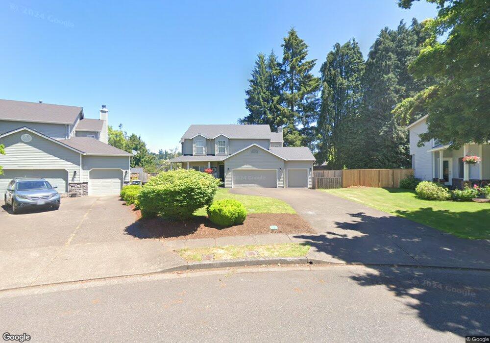
1339 High Touch St West Linn, OR 97068
Willamette NeighborhoodEstimated Value: $758,000 - $968,000
4
Beds
3
Baths
2,284
Sq Ft
$368/Sq Ft
Est. Value
About This Home
This home is located at 1339 High Touch St, West Linn, OR 97068 and is currently estimated at $840,991, approximately $368 per square foot. 1339 High Touch St is a home located in Clackamas County with nearby schools including Willamette Primary School, Athey Creek Middle School, and West Linn High School.
Ownership History
Date
Name
Owned For
Owner Type
Purchase Details
Closed on
Mar 24, 1997
Sold by
James V Shepard Inc
Bought by
Kraus Carolyn J
Current Estimated Value
Home Financials for this Owner
Home Financials are based on the most recent Mortgage that was taken out on this home.
Original Mortgage
$80,000
Outstanding Balance
$9,711
Interest Rate
8.37%
Estimated Equity
$831,280
Purchase Details
Closed on
Nov 14, 1995
Sold by
West Linn Partners
Bought by
J V Shepard Inc
Create a Home Valuation Report for This Property
The Home Valuation Report is an in-depth analysis detailing your home's value as well as a comparison with similar homes in the area
Home Values in the Area
Average Home Value in this Area
Purchase History
| Date | Buyer | Sale Price | Title Company |
|---|---|---|---|
| Kraus Carolyn J | $227,900 | First American Title Ins Co | |
| J V Shepard Inc | -- | Fidelity National Title Co |
Source: Public Records
Mortgage History
| Date | Status | Borrower | Loan Amount |
|---|---|---|---|
| Open | Kraus Carolyn J | $80,000 |
Source: Public Records
Tax History Compared to Growth
Tax History
| Year | Tax Paid | Tax Assessment Tax Assessment Total Assessment is a certain percentage of the fair market value that is determined by local assessors to be the total taxable value of land and additions on the property. | Land | Improvement |
|---|---|---|---|---|
| 2025 | $9,018 | $467,925 | -- | -- |
| 2024 | $8,680 | $454,297 | -- | -- |
| 2023 | $8,680 | $441,066 | $0 | $0 |
| 2022 | $8,193 | $428,220 | $0 | $0 |
| 2021 | $7,698 | $415,748 | $0 | $0 |
| 2020 | $7,700 | $403,639 | $0 | $0 |
| 2019 | $7,287 | $391,883 | $0 | $0 |
| 2018 | $6,848 | $380,469 | $0 | $0 |
| 2017 | $6,421 | $369,387 | $0 | $0 |
| 2016 | $6,251 | $358,628 | $0 | $0 |
| 2015 | $5,848 | $348,183 | $0 | $0 |
| 2014 | $5,584 | $338,042 | $0 | $0 |
Source: Public Records
Map
Nearby Homes
- 1694 16th St
- 1690 16th St
- 1925 Hillhouse Dr
- 1721 Dollar St Unit 1721
- 25540 Cheryl Dr
- 1765 Ostman Rd
- 1733 Jamie Cir
- 1931 13th St
- 1075 Epperly Way
- 1296 13th St
- 2026 Virginia Ln
- 1791 Blankenship Rd
- 1160 Blankenship Rd
- 1315 11th St
- 2077 5th Ave
- 975 Springtree Ln
- 850 Springtree Ln Unit 850
- 880 Springtree Ln Unit 880
- 800 Springtree Ln
- 640 Springtree Ln
- 1331 High Touch St
- 1345 High Touch St
- 1790 Britton St
- 1796 Britton St
- 1758 Britton St
- 1327 High Touch St
- 1798 Britton St
- 1385 Dollar St
- 1351 High Touch St
- 1324 High Touch St
- 1744 Britton St
- 1341 Dollar St
- 1319 High Touch St
- 1732 Britton St
- 1356 High Touch St
- 1369 High Touch St
- 1735 19th St
- 1316 High Touch St
- 1785 Britton St
- 1765 Britton St