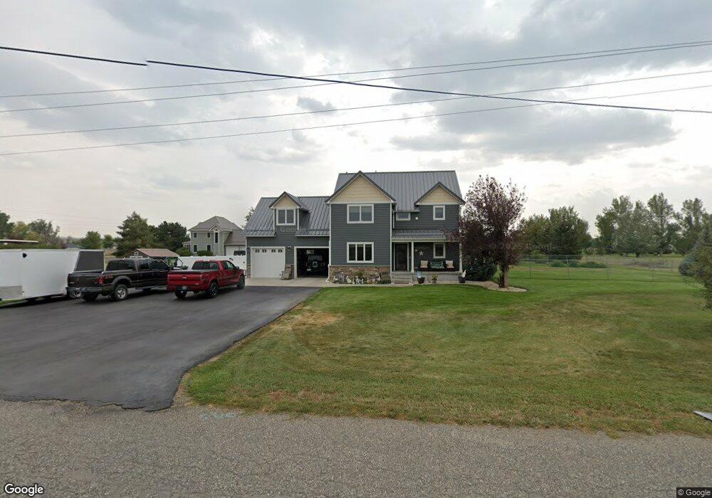
134 3rd St N Huntley, MT 59037
Huntley NeighborhoodEstimated Value: $447,656 - $522,000
4
Beds
2
Baths
2,156
Sq Ft
$227/Sq Ft
Est. Value
About This Home
This home is located at 134 3rd St N, Huntley, MT 59037 and is currently estimated at $489,164, approximately $226 per square foot. 134 3rd St N is a home located in Yellowstone County with nearby schools including Huntley Project Elementary School, Huntley Project Junior High School, and Huntley Project High School.
Ownership History
Date
Name
Owned For
Owner Type
Purchase Details
Closed on
Jun 5, 2017
Sold by
Anderson Jeffrey J and Anderson Kaja L
Bought by
Shomate Luann and Hensel David D
Current Estimated Value
Purchase Details
Closed on
May 30, 2014
Sold by
Weber John D and Weber Tabitha
Bought by
Anderson Jeffrey J and Anderson Kaja L
Home Financials for this Owner
Home Financials are based on the most recent Mortgage that was taken out on this home.
Original Mortgage
$284,075
Interest Rate
4.23%
Mortgage Type
VA
Purchase Details
Closed on
Sep 30, 2011
Sold by
Heppner Dean B and Heppner Julia A
Bought by
Weber John D and Weber Tabitha
Home Financials for this Owner
Home Financials are based on the most recent Mortgage that was taken out on this home.
Original Mortgage
$158,481
Interest Rate
4.09%
Mortgage Type
VA
Create a Home Valuation Report for This Property
The Home Valuation Report is an in-depth analysis detailing your home's value as well as a comparison with similar homes in the area
Home Values in the Area
Average Home Value in this Area
Purchase History
| Date | Buyer | Sale Price | Title Company |
|---|---|---|---|
| Shomate Luann | -- | None Available | |
| Anderson Jeffrey J | -- | Amercian Title & Escrow | |
| Weber John D | -- | None Available |
Source: Public Records
Mortgage History
| Date | Status | Borrower | Loan Amount |
|---|---|---|---|
| Previous Owner | Anderson Jeffrey J | $284,075 | |
| Previous Owner | Weber John D | $158,481 |
Source: Public Records
Tax History
| Year | Tax Paid | Tax Assessment Tax Assessment Total Assessment is a certain percentage of the fair market value that is determined by local assessors to be the total taxable value of land and additions on the property. | Land | Improvement |
|---|---|---|---|---|
| 2025 | $2,455 | $465,800 | $44,735 | $421,065 |
| 2024 | $2,455 | $414,800 | $44,724 | $370,076 |
| 2023 | $2,999 | $414,800 | $44,724 | $370,076 |
| 2022 | $2,200 | $290,600 | $0 | $0 |
| 2021 | $2,277 | $290,600 | $0 | $0 |
| 2020 | $2,302 | $289,600 | $0 | $0 |
| 2019 | $2,241 | $289,600 | $0 | $0 |
| 2018 | $2,260 | $273,900 | $0 | $0 |
| 2017 | $2,206 | $271,800 | $0 | $0 |
| 2016 | $1,976 | $268,600 | $0 | $0 |
| 2015 | $2,131 | $268,600 | $0 | $0 |
| 2014 | $1,815 | $120,840 | $0 | $0 |
Source: Public Records
Map
Nearby Homes
- 6513 Frey Rd
- 1794 N 4th Rd
- 1320 Florian Ave
- 6107 Shepherd Rd
- 0 Shepherd Road Lot 2a Shepherd Rd
- 6610 S 12th St
- 0 Shepherd Road Lot Shepherd Rd
- 1266 Chipper Ln
- 1251 Chipper Ln
- 1246 Chipper Ln
- 1191 Chipper Ln
- 5430 Cerkoney Ln
- 7729 Buckskin Dr
- 6447 US Highway 312
- 3335 White Buffalo Rd
- 581 Squaw Creek Rd
- 5652 Bengston Rd
- 8020 Wade St
- 7340 Wild Game Trail
- 6835 Eagle Bend Blvd
Your Personal Tour Guide
Ask me questions while you tour the home.