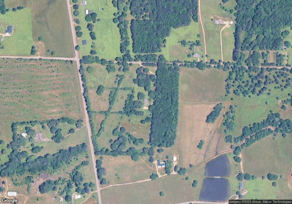
134 Adams Rd Columbus, MS 39702
Estimated Value: $157,875 - $197,000
Studio
--
Bath
1,953
Sq Ft
$95/Sq Ft
Est. Value
About This Home
This home is located at 134 Adams Rd, Columbus, MS 39702 and is currently estimated at $184,969, approximately $94 per square foot. 134 Adams Rd is a home.
Ownership History
Date
Name
Owned For
Owner Type
Purchase Details
Closed on
Feb 11, 2020
Sold by
Mathis Horace Est
Bought by
Davis Maxwell
Current Estimated Value
Home Financials for this Owner
Home Financials are based on the most recent Mortgage that was taken out on this home.
Original Mortgage
$120,000
Outstanding Balance
$106,025
Interest Rate
3.6%
Mortgage Type
Stand Alone Refi Refinance Of Original Loan
Estimated Equity
$78,944
Purchase Details
Closed on
Feb 7, 2020
Sold by
Mathis Horace Est
Bought by
Davis Maxwell
Home Financials for this Owner
Home Financials are based on the most recent Mortgage that was taken out on this home.
Original Mortgage
$120,000
Outstanding Balance
$106,025
Interest Rate
3.6%
Mortgage Type
Stand Alone Refi Refinance Of Original Loan
Estimated Equity
$78,944
Create a Home Valuation Report for This Property
The Home Valuation Report is an in-depth analysis detailing your home's value as well as a comparison with similar homes in the area
Purchase History
| Date | Buyer | Sale Price | Title Company |
|---|---|---|---|
| Davis Maxwell | -- | None Available | |
| Davis Maxwell | -- | None Available |
Source: Public Records
Mortgage History
| Date | Status | Borrower | Loan Amount |
|---|---|---|---|
| Open | Davis Maxwell | $120,000 | |
| Closed | Davis Maxwell | $120,000 |
Source: Public Records
Tax History
| Year | Tax Paid | Tax Assessment Tax Assessment Total Assessment is a certain percentage of the fair market value that is determined by local assessors to be the total taxable value of land and additions on the property. | Land | Improvement |
|---|---|---|---|---|
| 2025 | $397 | $6,933 | $0 | $0 |
| 2024 | $395 | $6,968 | $0 | $0 |
| 2023 | $407 | $7,256 | $0 | $0 |
| 2022 | $410 | $7,281 | $0 | $0 |
| 2021 | $387 | $7,309 | $0 | $0 |
| 2020 | $935 | $10,624 | $0 | $0 |
| 2019 | $0 | $7,337 | $0 | $0 |
| 2018 | $0 | $7,355 | $0 | $0 |
| 2017 | $0 | $7,329 | $0 | $0 |
| 2016 | $0 | $7,273 | $0 | $0 |
| 2015 | -- | $7,404 | $0 | $0 |
| 2014 | -- | $7,357 | $0 | $0 |
Source: Public Records
Map
Nearby Homes
- 0 E Minnie Vaughn Rd
- 0 Riverside Dr
- 706 Sobley Camp Rd
- 0 Golding Cir
- 3400 Pine Grove Rd
- 732 Thornton Dr
- 304 Timber Creek Dr
- 76 Richardson Rd
- Ms-69
- 0 0 Hwy 69 S
- 1553 Hildreth Rd
- 479 Bryant Rd
- 139 Lakeover Dr W
- 248 Lakeover Dr W
- 262 Center Rd
- 49 Freeman Dr
- 0 Tenn Tom Estates Unit 25-259
- 836 Oswalt Rd
- 364 Pinewood Dr
- 243 Brenda Ln
- 259 Adams Rd
- 10957 Highway 69 S
- 11178 Highway 69 S
- 5 Adams Rd
- 11318 Highway 69 S
- 10923 Highway 69 S
- 10871 Highway 69 S
- 200 Hartford Ln
- 445 Adams Rd
- 11373 Highway 69 S
- 11436 Highway 69 S
- 218 Hartford Ln
- 570 Adams Rd
- 10787 Highway 69 S
- 456 Adams Rd
- 457 Adams Rd
- 182 Sobley Rd
- 11380 Highway 69 S
- 569 Adams Rd
- 10711 Highway 69 S
