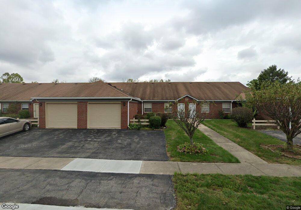
134 Andrews Blvd Unit U4 Plainfield, IN 46168
Estimated Value: $158,000 - $184,000
2
Beds
1
Bath
804
Sq Ft
$209/Sq Ft
Est. Value
About This Home
This home is located at 134 Andrews Blvd Unit U4, Plainfield, IN 46168 and is currently estimated at $167,756, approximately $208 per square foot. 134 Andrews Blvd Unit U4 is a home located in Hendricks County with nearby schools including Central Elementary School, Plainfield Community Middle School, and Plainfield High School.
Ownership History
Date
Name
Owned For
Owner Type
Purchase Details
Closed on
Oct 1, 2024
Sold by
Cooper Courtney G and Cooper Sharon K
Bought by
Cameron Dustin
Current Estimated Value
Home Financials for this Owner
Home Financials are based on the most recent Mortgage that was taken out on this home.
Original Mortgage
$150,575
Outstanding Balance
$148,121
Interest Rate
6.08%
Mortgage Type
New Conventional
Estimated Equity
$19,635
Purchase Details
Closed on
Apr 27, 2007
Sold by
Wilson Honor and Houck Travis John
Bought by
Cooper Courtney G and Cooper Sharon K
Home Financials for this Owner
Home Financials are based on the most recent Mortgage that was taken out on this home.
Original Mortgage
$21,200
Interest Rate
6.2%
Mortgage Type
Unknown
Create a Home Valuation Report for This Property
The Home Valuation Report is an in-depth analysis detailing your home's value as well as a comparison with similar homes in the area
Home Values in the Area
Average Home Value in this Area
Purchase History
We collect this data history from publicly available records. To have your information removed, we recommend requesting removal directly through your county’s website.
| Date | Buyer | Sale Price | Title Company |
|---|---|---|---|
| Cameron Dustin | -- | Chicago Title | |
| Cameron Dustin | -- | Chicago Title | |
| Cooper Courtney G | -- | None Available |
Source: Public Records
Mortgage History
We collect this data history from publicly available records. To have your information removed, we recommend requesting removal directly through your county’s website.
| Date | Status | Borrower | Loan Amount |
|---|---|---|---|
| Open | Cameron Dustin | $150,575 | |
| Closed | Cameron Dustin | $150,575 | |
| Previous Owner | Cooper Courtney G | $21,200 | |
| Previous Owner | Cooper Courtney G | $63,750 |
Source: Public Records
Tax History
| Year | Tax Paid | Tax Assessment Tax Assessment Total Assessment is a certain percentage of the fair market value that is determined by local assessors to be the total taxable value of land and additions on the property. | Land | Improvement |
|---|---|---|---|---|
| 2025 | $871 | $139,200 | $10,600 | $128,600 |
| 2024 | $796 | $118,400 | $10,600 | $107,800 |
| 2023 | $2,302 | $115,500 | $10,100 | $105,400 |
| 2022 | $2,194 | $109,700 | $9,600 | $100,100 |
| 2021 | $1,874 | $93,700 | $9,600 | $84,100 |
| 2020 | $1,798 | $89,900 | $9,600 | $80,300 |
| 2019 | $1,798 | $89,900 | $9,600 | $80,300 |
| 2018 | $1,744 | $87,200 | $9,600 | $77,600 |
| 2017 | $1,596 | $79,800 | $8,900 | $70,900 |
| 2016 | $1,566 | $78,300 | $8,900 | $69,400 |
| 2014 | $1,572 | $78,600 | $8,800 | $69,800 |
Source: Public Records
Map
Nearby Homes
- 134 Andrews Blvd
- 322 Meadow Ln
- 1042 W Main St
- 5926 Juna Ave
- 5985 Claymont Blvd
- 4088 Del Mar Ln
- 4285 Washington Blvd
- 4137 Hennessey Dr
- 751 Willow Ridge Ct
- 5666 Augusta Woods Dr
- 5704 Yorktown Rd
- 736 Willow Pointe Dr N
- 506 S Center St
- 4160 Lotus St
- 4104 Lotus St
- 5673 Broadcaster Ln
- 5381 Buckingham Ln
- 5644 Broadcaster Ln
- 7696 Rolling Green Dr
- 2198 Galleone Way
- 168 Andrews Blvd
- 168 Andrews Blvd Unit 40
- 172 Andrews Blvd
- 130 Andrews Blvd
- 164 Andrews Blvd
- 126 Andrews Blvd
- 126 Andrews Blvd Unit 8
- 160 Andrews Blvd
- 160 Andrews Blvd Unit 9
- 176 Andrews Blvd
- 176 Andrews Blvd Unit 1
- 122 Andrews Blvd
- 138 Andrews Blvd
- 156 Andrews Blvd
- 118 Andrews Blvd
- 118 Andrews Blvd Unit 12
- 152 Andrews Blvd
- 114 Andrews Blvd
- 114 Andrews Blvd Unit 14
- 200 Andrews Blvd
Your Personal Tour Guide
Ask me questions while you tour the home.