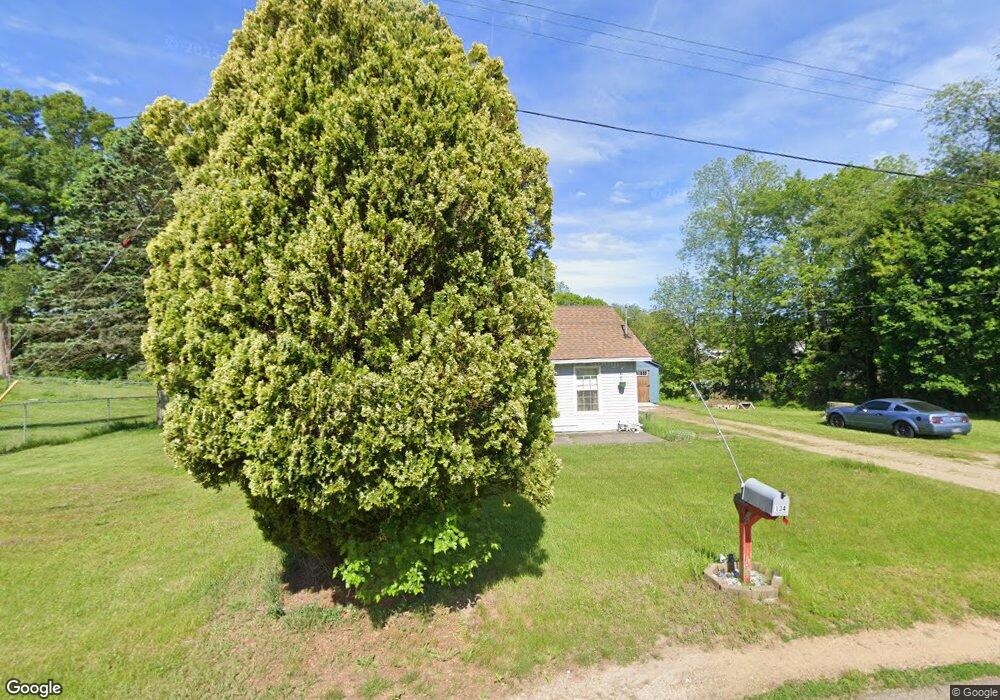
134 Berrien Ave Battle Creek, MI 49014
Estimated Value: $139,920 - $160,000
2
Beds
1
Bath
1,040
Sq Ft
$141/Sq Ft
Est. Value
About This Home
This home is located at 134 Berrien Ave, Battle Creek, MI 49014 and is currently estimated at $146,730, approximately $141 per square foot. 134 Berrien Ave is a home located in Calhoun County with nearby schools including Harper Creek Middle School and Harper Creek High School.
Ownership History
Date
Name
Owned For
Owner Type
Purchase Details
Closed on
Aug 26, 2005
Sold by
The Mcdaniel Family Trust
Bought by
Wilson Willard D and Wilson Charlotte A
Current Estimated Value
Home Financials for this Owner
Home Financials are based on the most recent Mortgage that was taken out on this home.
Original Mortgage
$35,000
Outstanding Balance
$18,913
Interest Rate
6.01%
Mortgage Type
Fannie Mae Freddie Mac
Estimated Equity
$127,817
Purchase Details
Closed on
Sep 23, 2002
Sold by
Mcdaniel Thurman W
Bought by
Wilson Willard D and Wilson Chalotte A
Purchase Details
Closed on
Mar 30, 1998
Sold by
Mcdaniel Thurman W
Bought by
Durkee James W and Durkee Charlotte
Create a Home Valuation Report for This Property
The Home Valuation Report is an in-depth analysis detailing your home's value as well as a comparison with similar homes in the area
Home Values in the Area
Average Home Value in this Area
Purchase History
| Date | Buyer | Sale Price | Title Company |
|---|---|---|---|
| Wilson Willard D | $3,000 | -- | |
| Wilson Willard D | $3,000 | -- | |
| Durkee James W | $6,000 | -- |
Source: Public Records
Mortgage History
| Date | Status | Borrower | Loan Amount |
|---|---|---|---|
| Open | Wilson Willard D | $35,000 |
Source: Public Records
Tax History Compared to Growth
Tax History
| Year | Tax Paid | Tax Assessment Tax Assessment Total Assessment is a certain percentage of the fair market value that is determined by local assessors to be the total taxable value of land and additions on the property. | Land | Improvement |
|---|---|---|---|---|
| 2025 | $1,276 | $66,670 | $0 | $0 |
| 2024 | $743 | $42,790 | $0 | $0 |
| 2023 | $1,142 | $33,230 | $0 | $0 |
| 2022 | $674 | $32,750 | $0 | $0 |
| 2021 | $1,092 | $37,350 | $0 | $0 |
| 2020 | $1,112 | $34,600 | $0 | $0 |
| 2019 | $1,267 | $34,050 | $0 | $0 |
| 2018 | $956 | $27,500 | $3,600 | $23,900 |
| 2017 | $956 | $26,750 | $0 | $0 |
| 2016 | $956 | $26,100 | $0 | $0 |
| 2015 | $609 | $25,550 | $4,913 | $20,637 |
| 2014 | $609 | $24,900 | $4,913 | $19,987 |
Source: Public Records
Map
Nearby Homes
- 140 Princeton St S
- 196 Eisenhower Dr
- 0 E River Rd
- 226 Nixon
- 8362 River Rd E
- 0 Rook St Unit 25019652
- 153 Martin St
- 23 Bradford St
- VL E Michigan Ave
- 329 Vass Ave
- 113 Rook Ct
- 208 Stone St N
- 605 Westbrook Ave
- 153 Hidden Forest Rd
- 840 Wattles Rd N
- 323 Wattles Rd S
- 117 Inn Rd
- 1230 Golden Ave
- 184 Shadowood Ln
- 118 Nelson St