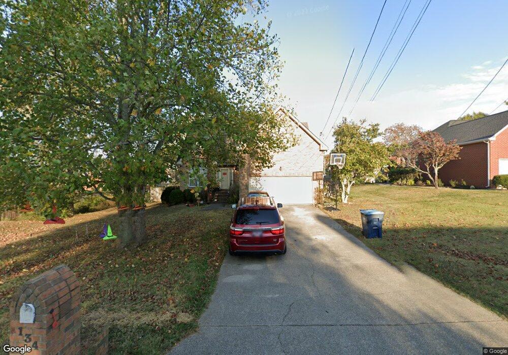
134 Cedar Forest Dr Smyrna, TN 37167
Estimated Value: $394,670 - $476,000
4
Beds
3
Baths
2,125
Sq Ft
$201/Sq Ft
Est. Value
About This Home
This home is located at 134 Cedar Forest Dr, Smyrna, TN 37167 and is currently estimated at $427,168, approximately $201 per square foot. 134 Cedar Forest Dr is a home located in Rutherford County with nearby schools including Rocky Fork Elementary School, Rocky Fork Middle School, and Smyrna High School.
Ownership History
Date
Name
Owned For
Owner Type
Purchase Details
Closed on
Nov 18, 2011
Sold by
Keener Paul
Bought by
Gray Kevin R
Current Estimated Value
Home Financials for this Owner
Home Financials are based on the most recent Mortgage that was taken out on this home.
Original Mortgage
$136,000
Outstanding Balance
$93,408
Interest Rate
4.17%
Mortgage Type
Commercial
Estimated Equity
$333,760
Purchase Details
Closed on
Jun 17, 2003
Sold by
Polsley Debbie S
Bought by
Keener and Jamie
Home Financials for this Owner
Home Financials are based on the most recent Mortgage that was taken out on this home.
Original Mortgage
$118,400
Interest Rate
6.13%
Purchase Details
Closed on
Jul 21, 1999
Sold by
Lee Kathleen B
Bought by
Polsley Debbie S
Home Financials for this Owner
Home Financials are based on the most recent Mortgage that was taken out on this home.
Original Mortgage
$129,150
Interest Rate
7.66%
Create a Home Valuation Report for This Property
The Home Valuation Report is an in-depth analysis detailing your home's value as well as a comparison with similar homes in the area
Home Values in the Area
Average Home Value in this Area
Purchase History
| Date | Buyer | Sale Price | Title Company |
|---|---|---|---|
| Gray Kevin R | $170,000 | -- | |
| Keener | $148,000 | -- | |
| Polsley Debbie S | $143,500 | -- |
Source: Public Records
Mortgage History
| Date | Status | Borrower | Loan Amount |
|---|---|---|---|
| Open | Gray Kevin R | $136,000 | |
| Previous Owner | Polsley Debbie S | $118,400 | |
| Previous Owner | Polsley Debbie S | $29,600 | |
| Previous Owner | Polsley Debbie S | $129,150 |
Source: Public Records
Tax History Compared to Growth
Tax History
| Year | Tax Paid | Tax Assessment Tax Assessment Total Assessment is a certain percentage of the fair market value that is determined by local assessors to be the total taxable value of land and additions on the property. | Land | Improvement |
|---|---|---|---|---|
| 2025 | $1,744 | $72,600 | $13,750 | $58,850 |
| 2024 | $1,744 | $72,600 | $13,750 | $58,850 |
| 2023 | $1,744 | $72,600 | $13,750 | $58,850 |
| 2022 | $1,555 | $72,600 | $13,750 | $58,850 |
| 2021 | $1,570 | $53,775 | $12,500 | $41,275 |
| 2020 | $1,570 | $53,775 | $12,500 | $41,275 |
| 2019 | $1,570 | $53,775 | $12,500 | $41,275 |
| 2018 | $1,506 | $53,775 | $0 | $0 |
| 2017 | $1,645 | $46,175 | $0 | $0 |
| 2016 | $1,645 | $46,175 | $0 | $0 |
| 2015 | $1,645 | $46,175 | $0 | $0 |
| 2014 | $1,148 | $46,175 | $0 | $0 |
| 2013 | -- | $40,200 | $0 | $0 |
Source: Public Records
Map
Nearby Homes
- 407 Shadowood Dr
- 508 Spinnaker Ct
- 505 Spinnaker Ct
- 806 Enon Springs Rd W
- 499 Williamsport Dr
- 107 Irish Place
- 520 Mcgrath Dr
- 0 Bonifay Dr
- 115 Saint Michaels Ln
- 421 Saint Francis Ave
- 143 Stokes Dr
- 1307 Talia Trace Plan at Talia Trace
- 1781-3 Talia Trace Town Home Plan at Talia Trace
- 1723-2 Talia Trace Town Home Plan at Talia Trace
- 1306 Talia Trace Plan at Talia Trace
- 1703-3 Talia Trace Plan at Talia Trace
- 1603 Talia Trace Plan at Talia Trace
- 120 Ace Ave
- 130 Ace Ave
- 140 Ace Ave
- 132 Cedar Forest Dr
- 403 Briarwood Ln
- 323 Shadowood Dr
- 325 Shadowood Dr
- 143 Cedar Forest Dr
- 401 Briarwood Ln
- 321 Shadowood Dr
- 141 Cedar Forest Dr
- 130 Cedar Forest Dr
- 145 Cedar Forest Dr
- 139 Cedar Forest Dr
- 128 Cedar Forest Dr
- 200 Cedar Forest Dr
- 319 Shadowood Dr
- 370 Saint Francis Ave
- 314 Shadowood Dr
- 401 Shadowood Dr
- 368 Saint Francis Ave
- 137 Cedar Forest Dr
- 313 Briarwood Ln