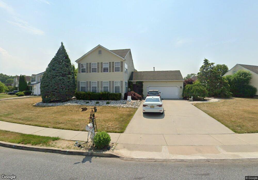
134 Deschler Blvd Clayton, NJ 08312
Estimated Value: $406,000 - $448,449
Studio
--
Bath
1,840
Sq Ft
$230/Sq Ft
Est. Value
About This Home
This home is located at 134 Deschler Blvd, Clayton, NJ 08312 and is currently estimated at $423,362, approximately $230 per square foot. 134 Deschler Blvd is a home located in Gloucester County with nearby schools including Herma S. Simmons Elementary School, Clayton Middle School, and Clayton High School.
Ownership History
Date
Name
Owned For
Owner Type
Purchase Details
Closed on
May 2, 2003
Sold by
Glorioso Anthony S and Glorioso Kathleen F
Bought by
Castle Tommy E
Current Estimated Value
Home Financials for this Owner
Home Financials are based on the most recent Mortgage that was taken out on this home.
Original Mortgage
$147,150
Outstanding Balance
$64,280
Interest Rate
5.86%
Mortgage Type
FHA
Estimated Equity
$359,082
Purchase Details
Closed on
Mar 28, 1995
Sold by
Group Ten Builders Inc
Bought by
Glorioso Kathleen F
Create a Home Valuation Report for This Property
The Home Valuation Report is an in-depth analysis detailing your home's value as well as a comparison with similar homes in the area
Home Values in the Area
Average Home Value in this Area
Purchase History
| Date | Buyer | Sale Price | Title Company |
|---|---|---|---|
| Castle Tommy E | $182,000 | Commonwealth Land Title Ins | |
| Glorioso Kathleen F | $124,900 | Congress Title Division |
Source: Public Records
Mortgage History
| Date | Status | Borrower | Loan Amount |
|---|---|---|---|
| Open | Castle Tommy E | $147,150 |
Source: Public Records
Tax History
| Year | Tax Paid | Tax Assessment Tax Assessment Total Assessment is a certain percentage of the fair market value that is determined by local assessors to be the total taxable value of land and additions on the property. | Land | Improvement |
|---|---|---|---|---|
| 2025 | $9,734 | $393,300 | $79,500 | $313,800 |
| 2024 | $7,617 | $393,300 | $79,500 | $313,800 |
Source: Public Records
Map
Nearby Homes
- 34 Morgan Dr
- 161 Deschler Blvd
- 14 Stanger Ct
- 109 Holly Rd
- 100 Stage Coach Rd
- 271 Kille Rd
- 30 Sand Hills Dr
- 109 Karenlynn Dr
- 664 Scotland Run Ave
- 613 Cedar Ave
- 0 Corbin Ave
- 211 Ripley Ct
- 960 Butler Dr
- 101 Raymar Dr
- 179 Presley Way
- 8 Porch St
- 741 N Tuckahoe Rd
- 3060 Williamstown Rd
- 25 Matthews St
- 236 S Tuckahoe Rd
- 132 Deschler Blvd
- 136 Deschler Blvd
- 7 Hogate Ct
- 137 Deschler Blvd
- 135 Deschler Blvd
- 130 Deschler Blvd
- 138 Deschler Blvd
- 5 Hogate Ct
- 133 Deschler Blvd
- 9 Hogate Ct
- 101 Kaiser Ln
- 100 Kaiser Ln
- 131 Deschler Blvd
- 128 Deschler Blvd
- 140 Deschler Blvd
- 3 Hogate Ct
- 103 Kaiser Ln
- 11 Hogate Ct
- 129 Deschler Blvd
- 1812 Hessian Dr