134 Flynn Rd Gallatin, TN 37066
Estimated Value: $83,000 - $713,000
--
Bed
3
Baths
2,540
Sq Ft
$213/Sq Ft
Est. Value
About This Home
This home is located at 134 Flynn Rd, Gallatin, TN 37066 and is currently estimated at $539,767, approximately $212 per square foot. 134 Flynn Rd is a home located in Sumner County with nearby schools including Howard Elementary School and Gallatin Senior High School.
Ownership History
Date
Name
Owned For
Owner Type
Purchase Details
Closed on
Dec 23, 2024
Sold by
Franks C Stephen C and Franks Marie G
Bought by
Witten John and Witten Kailie
Current Estimated Value
Home Financials for this Owner
Home Financials are based on the most recent Mortgage that was taken out on this home.
Original Mortgage
$459,000
Outstanding Balance
$117,701
Interest Rate
6.84%
Mortgage Type
Construction
Estimated Equity
$422,066
Purchase Details
Closed on
Jul 12, 1996
Sold by
Tusa David M and Tusa Eva J
Bought by
Marie Franks C and Marie Franks G
Home Financials for this Owner
Home Financials are based on the most recent Mortgage that was taken out on this home.
Original Mortgage
$135,000
Interest Rate
4.95%
Create a Home Valuation Report for This Property
The Home Valuation Report is an in-depth analysis detailing your home's value as well as a comparison with similar homes in the area
Home Values in the Area
Average Home Value in this Area
Purchase History
| Date | Buyer | Sale Price | Title Company |
|---|---|---|---|
| Witten John | $81,216 | Highland Title | |
| Witten John | $81,216 | Highland Title | |
| Marie Franks C | $185,000 | -- |
Source: Public Records
Mortgage History
| Date | Status | Borrower | Loan Amount |
|---|---|---|---|
| Open | Witten John | $459,000 | |
| Closed | Witten John | $459,000 | |
| Previous Owner | Marie Franks C | $135,000 |
Source: Public Records
Tax History Compared to Growth
Tax History
| Year | Tax Paid | Tax Assessment Tax Assessment Total Assessment is a certain percentage of the fair market value that is determined by local assessors to be the total taxable value of land and additions on the property. | Land | Improvement |
|---|---|---|---|---|
| 2024 | $2,183 | $153,600 | $49,500 | $104,100 |
| 2023 | $2,048 | $90,925 | $40,675 | $50,250 |
| 2022 | $2,057 | $90,925 | $40,675 | $50,250 |
| 2021 | $2,057 | $90,925 | $40,675 | $50,250 |
| 2020 | $2,057 | $90,925 | $40,675 | $50,250 |
| 2019 | $2,057 | $0 | $0 | $0 |
| 2018 | $1,526 | $0 | $0 | $0 |
| 2017 | $1,526 | $0 | $0 | $0 |
| 2016 | $1,526 | $0 | $0 | $0 |
| 2015 | -- | $0 | $0 | $0 |
| 2014 | -- | $0 | $0 | $0 |
Source: Public Records
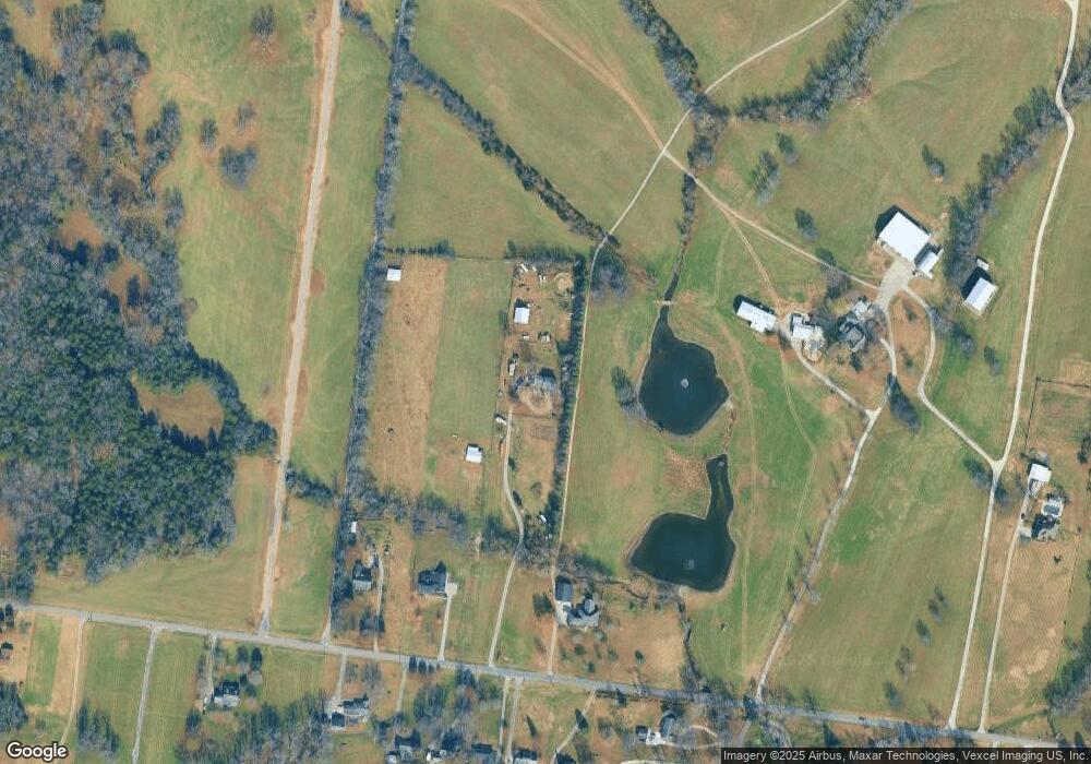
Map
Nearby Homes
- 688 Douglas Ln
- 308 Collier Ln
- 347 Mya Marie Dr
- 204 Sparrow Ln
- 14 Brazier Ln
- 11 Brazier Ln
- 10 Brazier Ln
- 13 Brazier Ln
- 12 Brazier Ln
- 1901 Scotty Parker Rd
- 475 Lucy Cir
- 1342 Linn Cove Ct
- 1428 Old Highway 109 N
- 546 Brazier Ln
- 516 Dottie Dr
- 1318 Linn Cove Ct
- 1311 Linn Cove Ct
- 548 Dottie Dr
- 1268 Linn Cove Ct
- 428 Mya Marie Dr