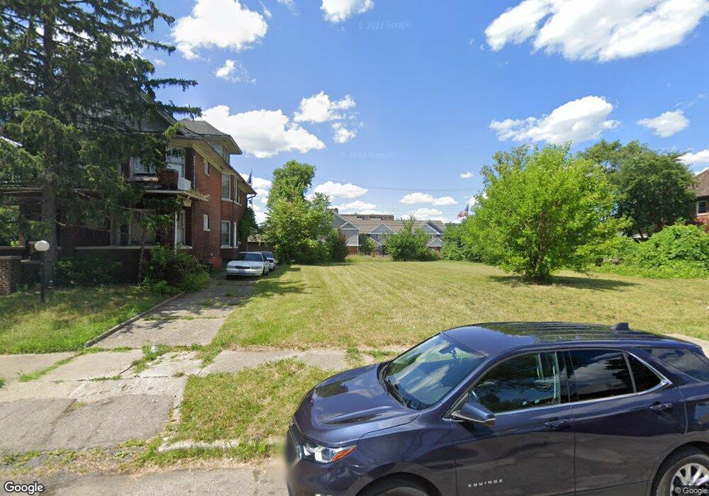
134 Ford St Highland Park, MI 48203
Estimated Value: $64,000 - $87,000
--
Bed
2
Baths
2,504
Sq Ft
$30/Sq Ft
Est. Value
About This Home
This home is located at 134 Ford St, Highland Park, MI 48203 and is currently estimated at $75,500, approximately $30 per square foot. 134 Ford St is a home located in Wayne County with nearby schools including George Washington Carver Elementary School, Barber Elementary School, and New Paradigm Glazer Academy.
Ownership History
Date
Name
Owned For
Owner Type
Purchase Details
Closed on
Feb 20, 2017
Sold by
Sabree Eric R
Bought by
Treasurer City Of Highland Park
Current Estimated Value
Purchase Details
Closed on
Nov 7, 2013
Sold by
Wayne County Treasurer
Bought by
Davis Terry
Purchase Details
Closed on
Mar 18, 2009
Sold by
Vincent Angela
Bought by
Global Equities Llc
Purchase Details
Closed on
Jan 27, 2004
Sold by
Freeman Lawrence D
Bought by
Freeman Lawrence D
Purchase Details
Closed on
Dec 15, 2002
Sold by
Freeman Ronald and Freeman Joann
Bought by
Freeman Lawrence D
Home Financials for this Owner
Home Financials are based on the most recent Mortgage that was taken out on this home.
Original Mortgage
$50,400
Interest Rate
6.15%
Mortgage Type
Purchase Money Mortgage
Create a Home Valuation Report for This Property
The Home Valuation Report is an in-depth analysis detailing your home's value as well as a comparison with similar homes in the area
Home Values in the Area
Average Home Value in this Area
Purchase History
| Date | Buyer | Sale Price | Title Company |
|---|---|---|---|
| Treasurer City Of Highland Park | -- | None Available | |
| Davis Terry | $500 | None Available | |
| Global Equities Llc | $500 | Pure Title | |
| Global Equities Llc | $4,500 | None Available | |
| Freeman Lawrence D | -- | Commonwealth Land Title | |
| Vincent Richard | $63,000 | Commonwealth Land Title | |
| Freeman Lawrence D | -- | Commonwealth Land Title |
Source: Public Records
Mortgage History
| Date | Status | Borrower | Loan Amount |
|---|---|---|---|
| Previous Owner | Freeman Lawrence D | $50,400 |
Source: Public Records
Tax History Compared to Growth
Tax History
| Year | Tax Paid | Tax Assessment Tax Assessment Total Assessment is a certain percentage of the fair market value that is determined by local assessors to be the total taxable value of land and additions on the property. | Land | Improvement |
|---|---|---|---|---|
| 2025 | -- | $0 | $0 | $0 |
| 2024 | -- | $0 | $0 | $0 |
| 2023 | -- | $0 | $0 | $0 |
| 2022 | -- | $0 | $0 | $0 |
| 2021 | $0 | $0 | $0 | $0 |
| 2020 | $322 | $0 | $0 | $0 |
| 2019 | $322 | $0 | $0 | $0 |
| 2018 | $0 | $0 | $0 | $0 |
| 2017 | $192 | $2,300 | $0 | $0 |
| 2016 | $294 | $2,700 | $0 | $0 |
| 2015 | $330 | $3,300 | $0 | $0 |
| 2013 | $470 | $4,700 | $0 | $0 |
| 2012 | $322 | $5,100 | $4,000 | $1,100 |
Source: Public Records
Map
Nearby Homes
- 14441 3rd Ave
- 51 Ford St
- 82 W Buena Vista St
- 190 W Buena Vista St
- 169 Avalon St
- 50 Glendale St
- 124 E Grand
- 231 Midland St
- 247 Midland St
- 169 Pilgrim St
- 67 Pilgrim St
- 156 Pilgrim St
- 253 Pilgrim St
- 91 Puritan St
- 51 Puritan St
- 111 Farrand Park
- 53 Leslie St
- 13300 Woodrow Wilson St
- 163 Moss St
- 172 Winona St