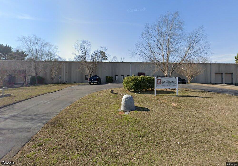
134 Industrial Ct SW Cleveland, TN 37311
--
Bed
2
Baths
29,625
Sq Ft
2.39
Acres
About This Home
This home is located at 134 Industrial Ct SW, Cleveland, TN 37311. 134 Industrial Ct SW is a home located in Bradley County with nearby schools including Blythe-Bower Elementary School, Cleveland Christian School, and Landmark Christian Day School.
Ownership History
Date
Name
Owned For
Owner Type
Purchase Details
Closed on
Jul 25, 2017
Sold by
Thaggard Frank and Thaggard Kathleen Suthrnland
Bought by
Skyy Blue Partnership
Home Financials for this Owner
Home Financials are based on the most recent Mortgage that was taken out on this home.
Original Mortgage
$850,000
Interest Rate
3.91%
Mortgage Type
Commercial
Purchase Details
Closed on
Mar 1, 2004
Sold by
Thaggard David
Bought by
Thaggard Frank
Create a Home Valuation Report for This Property
The Home Valuation Report is an in-depth analysis detailing your home's value as well as a comparison with similar homes in the area
Home Values in the Area
Average Home Value in this Area
Purchase History
| Date | Buyer | Sale Price | Title Company |
|---|---|---|---|
| Skyy Blue Partnership | -- | None Available | |
| Skyy Blue Partnership | $85,000 | None Available | |
| Thaggard Frank | -- | -- |
Source: Public Records
Mortgage History
| Date | Status | Borrower | Loan Amount |
|---|---|---|---|
| Closed | Skyy Blue Partnership | $850,000 |
Source: Public Records
Tax History Compared to Growth
Tax History
| Year | Tax Paid | Tax Assessment Tax Assessment Total Assessment is a certain percentage of the fair market value that is determined by local assessors to be the total taxable value of land and additions on the property. | Land | Improvement |
|---|---|---|---|---|
| 2025 | $9,450 | $751,640 | $115,320 | $636,320 |
| 2024 | $9,450 | $656,600 | $54,120 | $602,480 |
| 2023 | $20,698 | $656,600 | $54,120 | $602,480 |
| 2022 | $7,941 | $251,920 | $53,960 | $197,960 |
| 2021 | $3,626 | $251,920 | $0 | $0 |
| 2020 | $3,642 | $251,920 | $0 | $0 |
| 2019 | $7,852 | $204,360 | $0 | $0 |
| 2018 | $8,420 | $0 | $0 | $0 |
| 2017 | $4,210 | $0 | $0 | $0 |
| 2016 | $7,211 | $0 | $0 | $0 |
| 2015 | $3,711 | $0 | $0 | $0 |
| 2014 | $3,705 | $0 | $0 | $0 |
Source: Public Records
Map
Nearby Homes
- The Pierce Plan at Appalachia Park
- The Greenbrier II Plan at Appalachia Park
- The Manchester II Plan at Appalachia Park
- The Buford II Plan at Appalachia Park
- The Suwanee Plan at Appalachia Park
- The Trenton Plan at Appalachia Park
- The Braselton II Plan at Appalachia Park
- The Rutledge Plan at Appalachia Park
- 2048 Volunteer Dr SW
- 2043 Volunteer Dr SW
- 2649 Varnell Rd SW
- 2011 Pearl Dr SW
- 2074 Volunteer Dr SW
- 2793 Varnell Rd SW
- 2841 Varnell Rd SW
- 8079 Cobblestone Dr SW
- Lot 20 Cobblestone Ridge SW
- Lot 19 Cobblestone Ridge SW
- Lot 18 Cobblestone Ridge SW
- Lot 17 Cobblestone Ridge SW
- 179 Holloway Rd SW
- 175 Industrial Ct SW
- 15 Industrial Way SW
- 13 Industrial Way SW
- 259 Holloway Rd SW
- 145 Industrial Way SW
- 119 Holloway Rd SW
- 165 Industrial Way SW
- 12131415 Industrial Way SW
- 014 Industrial Way SW
- 012 Industrial Way SW
- 013 Industrial Way SW
- 015 Industrial Way SW
- 14 Industrial Way SW
- 12 Industrial Way SW
- 014 Industrial Way SW Unit 14
- 012 Industrial Way SW Unit 12
- 1847 Westland Dr SW
- 1905 NW Westlake Dr
- 289 Holloway Rd SW