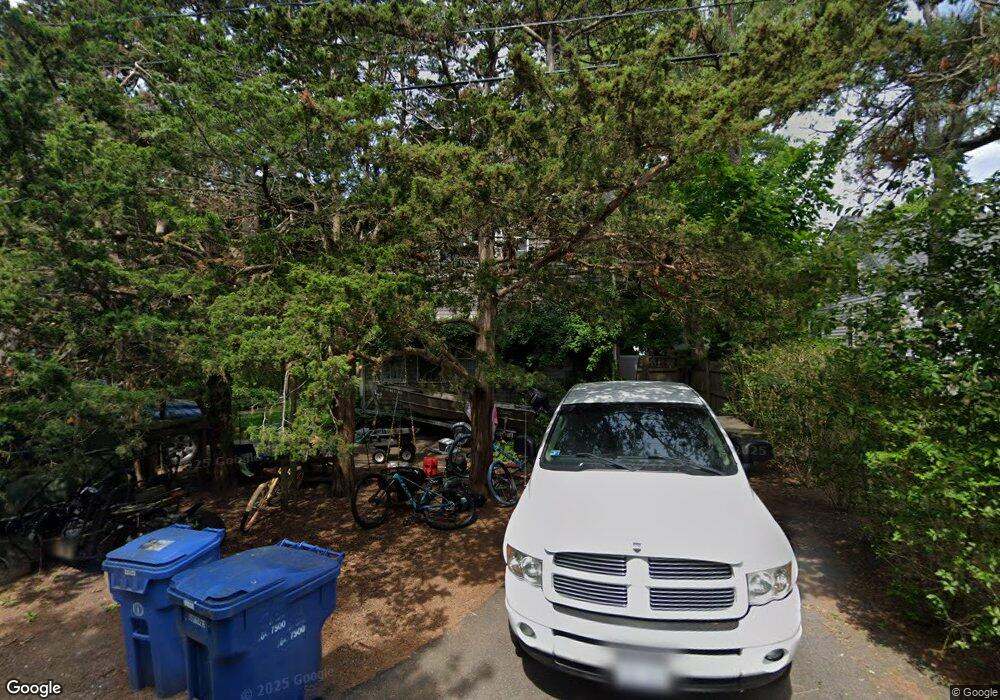
134 Juniper Rd Wakefield, RI 02879
Estimated Value: $585,000 - $678,821
2
Beds
1
Bath
806
Sq Ft
$785/Sq Ft
Est. Value
About This Home
This home is located at 134 Juniper Rd, Wakefield, RI 02879 and is currently estimated at $632,455, approximately $784 per square foot. 134 Juniper Rd is a home located in Washington County with nearby schools including South Kingstown High School.
Ownership History
Date
Name
Owned For
Owner Type
Purchase Details
Closed on
Jun 7, 2025
Sold by
Mcnulty Mary M
Bought by
Petrechko Mcnulty Irlt and Petrechko Mcnulty
Current Estimated Value
Purchase Details
Closed on
May 9, 2002
Sold by
Mcdermott Marsha M
Bought by
Petrichko Christian J and Mcnulty Mary M
Purchase Details
Closed on
Jul 25, 1994
Sold by
Fette Arthur C and Fette Mary
Bought by
Gillooly Gregg A and Mcdermott Maureen A
Create a Home Valuation Report for This Property
The Home Valuation Report is an in-depth analysis detailing your home's value as well as a comparison with similar homes in the area
Home Values in the Area
Average Home Value in this Area
Purchase History
| Date | Buyer | Sale Price | Title Company |
|---|---|---|---|
| Petrechko Mcnulty Irlt | -- | None Available | |
| Petrechko Mcnulty Irlt | -- | None Available | |
| Petrichko Christian J | $150,000 | -- | |
| Petrichko Christian J | $150,000 | -- | |
| Gillooly Gregg A | $93,000 | -- | |
| Gillooly Gregg A | $93,000 | -- |
Source: Public Records
Mortgage History
| Date | Status | Borrower | Loan Amount |
|---|---|---|---|
| Previous Owner | Gillooly Gregg A | $269,500 | |
| Previous Owner | Gillooly Gregg A | $260,000 |
Source: Public Records
Tax History
| Year | Tax Paid | Tax Assessment Tax Assessment Total Assessment is a certain percentage of the fair market value that is determined by local assessors to be the total taxable value of land and additions on the property. | Land | Improvement |
|---|---|---|---|---|
| 2025 | $5,663 | $633,400 | $282,600 | $350,800 |
| 2024 | $5,674 | $513,500 | $217,300 | $296,200 |
| 2023 | $5,674 | $513,500 | $217,300 | $296,200 |
| 2022 | $5,623 | $513,500 | $217,300 | $296,200 |
| 2021 | $5,114 | $353,900 | $132,800 | $221,100 |
| 2020 | $5,114 | $353,900 | $132,800 | $221,100 |
| 2019 | $5,114 | $353,900 | $132,800 | $221,100 |
| 2018 | $5,008 | $319,400 | $122,600 | $196,800 |
| 2017 | $4,890 | $319,400 | $122,600 | $196,800 |
| 2016 | $4,820 | $319,400 | $122,600 | $196,800 |
| 2015 | $4,644 | $299,200 | $111,500 | $187,700 |
| 2014 | $4,632 | $299,200 | $111,500 | $187,700 |
Source: Public Records
Map
Nearby Homes
- 0 Old Post Rd
- 10 Josephine Dr Unit 1C
- 10 Josephine Dr Unit 2D
- 12 Mautucket Rd
- 1935 Matunuck School House Rd
- 5 Shadberry Trail
- 259 Green Hill Beach Rd
- 63 Aspen Rd
- 350 Narrow Ln
- 45 Elizabeth Cooper Dr
- 14 Charlestown Rd
- 15 Charlestown Rd
- 120 Narrow Ln
- 38 Beach Dr
- 0 Falcone Ln
- 61 Slope Ave
- 197 Old Coach Rd
- 130 S Niantic Dr
- 130 Pequot Dr
- 209 Carpenter Dr