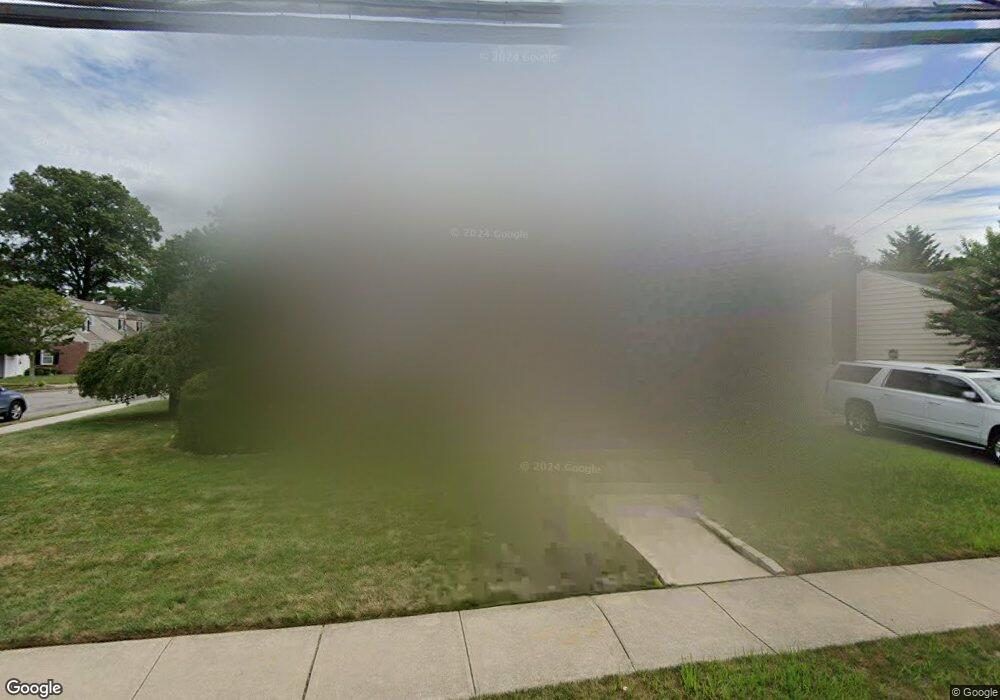
134 Linmouth Rd Malverne, NY 11565
Estimated Value: $911,461 - $949,000
--
Bed
2
Baths
2,880
Sq Ft
$323/Sq Ft
Est. Value
About This Home
This home is located at 134 Linmouth Rd, Malverne, NY 11565 and is currently estimated at $930,231, approximately $322 per square foot. 134 Linmouth Rd is a home located in Nassau County with nearby schools including Maurice W. Downing Primary K-2 School, Davison Avenue Intermediate School, and Howard T Herber Middle School.
Ownership History
Date
Name
Owned For
Owner Type
Purchase Details
Closed on
Feb 11, 2000
Sold by
Ward William P and Estate Of Eugenia Napp
Bought by
Castellano Anthony T and Miller Jennifer B
Current Estimated Value
Home Financials for this Owner
Home Financials are based on the most recent Mortgage that was taken out on this home.
Original Mortgage
$135,000
Outstanding Balance
$44,595
Interest Rate
8.15%
Mortgage Type
Purchase Money Mortgage
Estimated Equity
$885,636
Create a Home Valuation Report for This Property
The Home Valuation Report is an in-depth analysis detailing your home's value as well as a comparison with similar homes in the area
Home Values in the Area
Average Home Value in this Area
Purchase History
| Date | Buyer | Sale Price | Title Company |
|---|---|---|---|
| Castellano Anthony T | $175,000 | Stewart Title Insurance Co |
Source: Public Records
Mortgage History
| Date | Status | Borrower | Loan Amount |
|---|---|---|---|
| Open | Castellano Anthony T | $135,000 |
Source: Public Records
Tax History Compared to Growth
Tax History
| Year | Tax Paid | Tax Assessment Tax Assessment Total Assessment is a certain percentage of the fair market value that is determined by local assessors to be the total taxable value of land and additions on the property. | Land | Improvement |
|---|---|---|---|---|
| 2025 | $12,672 | $627 | $218 | $409 |
| 2024 | $1,433 | $667 | $232 | $435 |
| 2023 | $12,084 | $687 | $239 | $448 |
| 2022 | $12,084 | $684 | $238 | $446 |
| 2021 | $16,739 | $658 | $229 | $429 |
| 2020 | $11,010 | $756 | $579 | $177 |
| 2019 | $9,818 | $810 | $557 | $253 |
| 2018 | $9,802 | $901 | $0 | $0 |
| 2017 | $9,241 | $957 | $472 | $485 |
| 2016 | $10,624 | $1,256 | $620 | $636 |
| 2015 | $1,865 | $1,256 | $620 | $636 |
| 2014 | $1,865 | $1,256 | $620 | $636 |
| 2013 | $1,711 | $1,256 | $620 | $636 |
Source: Public Records
Map
Nearby Homes