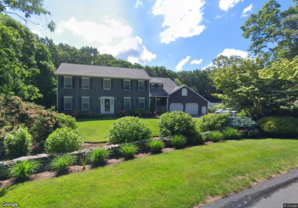
134 Lothrops Ln West Barnstable, MA 02668
West Barnstable NeighborhoodEstimated Value: $883,000 - $1,275,000
3
Beds
3
Baths
3,464
Sq Ft
$324/Sq Ft
Est. Value
About This Home
This home is located at 134 Lothrops Ln, West Barnstable, MA 02668 and is currently estimated at $1,120,918, approximately $323 per square foot. 134 Lothrops Ln is a home located in Barnstable County with nearby schools including West Barnstable Elementary School, Barnstable United Elementary School, and Barnstable Intermediate School.
Ownership History
Date
Name
Owned For
Owner Type
Purchase Details
Closed on
Nov 30, 2006
Sold by
Shramek Gary M
Bought by
Gary M Shramek Ret and Shramek Gary M
Current Estimated Value
Create a Home Valuation Report for This Property
The Home Valuation Report is an in-depth analysis detailing your home's value as well as a comparison with similar homes in the area
Home Values in the Area
Average Home Value in this Area
Purchase History
We collect this data history from publicly available records. To have your information removed, we recommend requesting removal directly through your county’s website.
| Date | Buyer | Sale Price | Title Company |
|---|---|---|---|
| Gary M Shramek Ret | -- | -- |
Source: Public Records
Tax History
| Year | Tax Paid | Tax Assessment Tax Assessment Total Assessment is a certain percentage of the fair market value that is determined by local assessors to be the total taxable value of land and additions on the property. | Land | Improvement |
|---|---|---|---|---|
| 2025 | $10,227 | $1,095,000 | $237,900 | $857,100 |
| 2024 | $8,968 | $1,045,200 | $237,900 | $807,300 |
| 2023 | $8,311 | $912,300 | $216,300 | $696,000 |
| 2022 | $7,970 | $717,400 | $148,800 | $568,600 |
| 2021 | $7,878 | $672,200 | $151,100 | $521,100 |
| 2020 | $6,850 | $565,200 | $151,100 | $414,100 |
| 2019 | $2,594 | $579,500 | $160,200 | $419,300 |
| 2018 | $2,477 | $546,800 | $186,700 | $360,100 |
| 2017 | $6,563 | $536,200 | $186,700 | $349,500 |
| 2016 | $6,374 | $531,600 | $182,100 | $349,500 |
| 2015 | $6,339 | $530,000 | $184,900 | $345,100 |
Source: Public Records
Map
Nearby Homes
- 114 Lothrops Ln
- 21 Parrish Way
- 19 Parrish Way
- 90 Bursley Path
- 10 Parrish Way
- 98 Lothrops Ln
- 98 Lothrop's Ln
- 163 Lothrops Ln
- 111 Lothrops Ln
- 111 Lothrop's Ln
- 70 Bursley Path
- 164 Lothrops Ln
- 24 Parrish Way
- 80 Lothrops Ln
- 24 Parrish Way
- 7 Lothrops Ln
- 0 Lothrops Ln
- 47 Bursley Path
- 22 Parish Way
- 77 Bursley Path
Your Personal Tour Guide
Ask me questions while you tour the home.