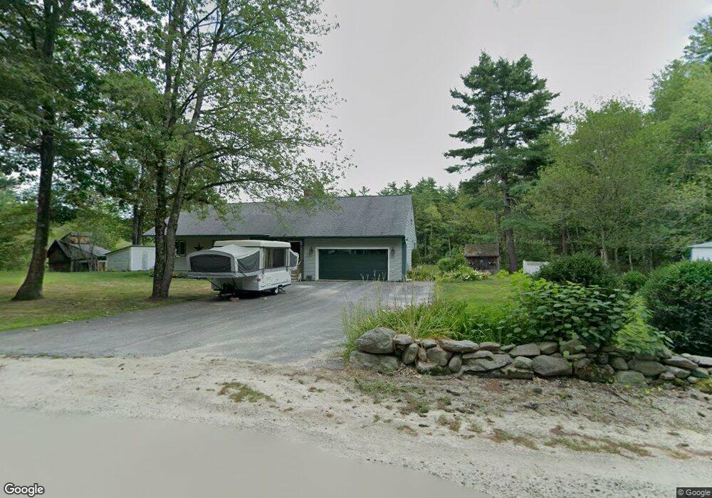
134 Moran Rd Temple, NH 03084
Estimated Value: $512,000 - $693,000
3
Beds
2
Baths
2,427
Sq Ft
$238/Sq Ft
Est. Value
About This Home
This home is located at 134 Moran Rd, Temple, NH 03084 and is currently estimated at $578,740, approximately $238 per square foot. 134 Moran Rd is a home with nearby schools including Temple Elementary School, South Meadow School, and Conval Regional High School.
Ownership History
Date
Name
Owned For
Owner Type
Purchase Details
Closed on
Aug 21, 2020
Sold by
Bullard Mark S
Bought by
Bullard Mark S and Brown Kimberly
Current Estimated Value
Home Financials for this Owner
Home Financials are based on the most recent Mortgage that was taken out on this home.
Original Mortgage
$272,000
Outstanding Balance
$240,195
Interest Rate
3%
Mortgage Type
New Conventional
Estimated Equity
$338,545
Purchase Details
Closed on
Feb 8, 2016
Sold by
Bullard Susan
Bought by
Bullard Mark S
Home Financials for this Owner
Home Financials are based on the most recent Mortgage that was taken out on this home.
Original Mortgage
$165,000
Interest Rate
3.98%
Mortgage Type
New Conventional
Create a Home Valuation Report for This Property
The Home Valuation Report is an in-depth analysis detailing your home's value as well as a comparison with similar homes in the area
Home Values in the Area
Average Home Value in this Area
Purchase History
| Date | Buyer | Sale Price | Title Company |
|---|---|---|---|
| Bullard Mark S | -- | None Available | |
| Bullard Mark S | -- | -- |
Source: Public Records
Mortgage History
| Date | Status | Borrower | Loan Amount |
|---|---|---|---|
| Open | Bullard Mark S | $272,000 | |
| Previous Owner | Bullard Mark S | $165,000 |
Source: Public Records
Tax History Compared to Growth
Tax History
| Year | Tax Paid | Tax Assessment Tax Assessment Total Assessment is a certain percentage of the fair market value that is determined by local assessors to be the total taxable value of land and additions on the property. | Land | Improvement |
|---|---|---|---|---|
| 2024 | $8,275 | $517,500 | $147,800 | $369,700 |
| 2023 | $7,316 | $295,100 | $83,300 | $211,800 |
| 2022 | $7,366 | $295,100 | $83,300 | $211,800 |
| 2021 | $6,908 | $295,100 | $83,300 | $211,800 |
| 2020 | $7,130 | $295,100 | $83,300 | $211,800 |
| 2019 | $6,663 | $295,100 | $83,300 | $211,800 |
| 2018 | $6,289 | $244,500 | $81,100 | $163,400 |
| 2017 | $6,095 | $244,500 | $81,100 | $163,400 |
| 2016 | $6,117 | $244,500 | $81,100 | $163,400 |
| 2015 | $6,362 | $244,500 | $81,100 | $163,400 |
| 2014 | $6,262 | $244,500 | $81,100 | $163,400 |
| 2013 | $6,397 | $261,100 | $82,000 | $179,100 |
Source: Public Records
Map
Nearby Homes
- 40 Brown Rd
- 38 Holly View Dr
- 64 Cedar Ridge Dr
- 220 Stowell Rd
- 14 Leighton Ln
- 23 Greenbriar Rd
- 169 Old Wilton Rd
- 155 Old Wilton Rd
- Lot 2-2 Tobey Hwy
- Lot 2-4 Tobey Hwy
- 811 Turnpike Rd
- 00 Greenville Rd
- 103 Temple Rd
- 545 Turnpike Rd
- 5 Ashby Rd
- 48 & 56 Perkins Ln
- 61 High St
- 25 Main St
- 122 Timbertop Rd
- 16 River St