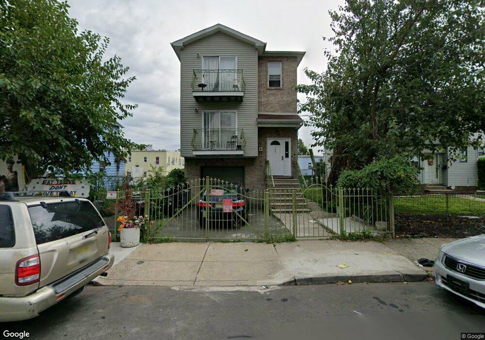
134 Palm St Unit 2 Newark, NJ 07106
Upper Vailsburg NeighborhoodEstimated Value: $748,000 - $922,000
3
Beds
2
Baths
2,558
Sq Ft
$316/Sq Ft
Est. Value
About This Home
This home is located at 134 Palm St Unit 2, Newark, NJ 07106 and is currently estimated at $808,929, approximately $316 per square foot. 134 Palm St Unit 2 is a home located in Essex County with nearby schools including Lincoln Elementary School, Mt. Vernon School, and Hawthorne Avenue Elementary School.
Ownership History
Date
Name
Owned For
Owner Type
Purchase Details
Closed on
Jul 19, 2024
Sold by
Bullock Kenneth and Vinson Helen
Bought by
Lawal Zainab and Olonade Olawale
Current Estimated Value
Home Financials for this Owner
Home Financials are based on the most recent Mortgage that was taken out on this home.
Original Mortgage
$693,500
Outstanding Balance
$682,476
Interest Rate
6.87%
Mortgage Type
New Conventional
Estimated Equity
$126,453
Purchase Details
Closed on
Apr 30, 2003
Sold by
Sarnosi Inc
Bought by
Bullock Kenneth and Vinson Helen
Home Financials for this Owner
Home Financials are based on the most recent Mortgage that was taken out on this home.
Original Mortgage
$266,945
Interest Rate
5.88%
Mortgage Type
FHA
Purchase Details
Closed on
May 16, 1988
Sold by
Corson Denise
Bought by
Lamourt Doris C
Create a Home Valuation Report for This Property
The Home Valuation Report is an in-depth analysis detailing your home's value as well as a comparison with similar homes in the area
Home Values in the Area
Average Home Value in this Area
Purchase History
| Date | Buyer | Sale Price | Title Company |
|---|---|---|---|
| Lawal Zainab | $730,000 | Safe Land Title | |
| Bullock Kenneth | $277,000 | -- | |
| Lamourt Doris C | -- | -- |
Source: Public Records
Mortgage History
| Date | Status | Borrower | Loan Amount |
|---|---|---|---|
| Open | Lawal Zainab | $693,500 | |
| Previous Owner | Bullock Kenneth | $266,945 |
Source: Public Records
Tax History
| Year | Tax Paid | Tax Assessment Tax Assessment Total Assessment is a certain percentage of the fair market value that is determined by local assessors to be the total taxable value of land and additions on the property. | Land | Improvement |
|---|---|---|---|---|
| 2025 | $8,116 | $217,700 | $16,300 | $201,400 |
| 2024 | $8,116 | $217,700 | $16,300 | $201,400 |
Source: Public Records
Map
Nearby Homes
- 85 Smith St
- 106 Halstead St Unit 110
- 82 Palm St
- 510 Halsted St
- 36 Mckay Ave
- 465 Norwood St Unit 2
- 459 Norwood St
- 491 Norwood St
- 83 Bedford St
- 23 Kenmore Ave
- 31 Halstead St
- 434 Halsted St Unit 8
- 441 S Clinton St
- 32 Palm St
- 143 Smith St
- 129 Brookwood St
- 129 Brookwood St Unit 2
- 149 Smith St
- 312 Rhode Island Ave
- 552 Norwood St
- 134 Palm St
- 134 Bedford St
- 138 Palm St
- 130 Palm St Unit 132
- 140 Palm St
- 142 Palm St Unit 144
- 126 Palm St Unit 128
- 31 Smith St Unit 33
- 31 Smith St Unit 2
- 139 Palm St Unit 137
- 142-144 Palm St
- 27 Smith St Unit 29
- 124 Palm St
- 39 Smith St Unit 3
- 137-139 Palm St
- 146 Palm St
- 122 Palm St Unit 124
- 135 Palm St
- 23 Smith St Unit 25
- 137 Palm St
Your Personal Tour Guide
Ask me questions while you tour the home.