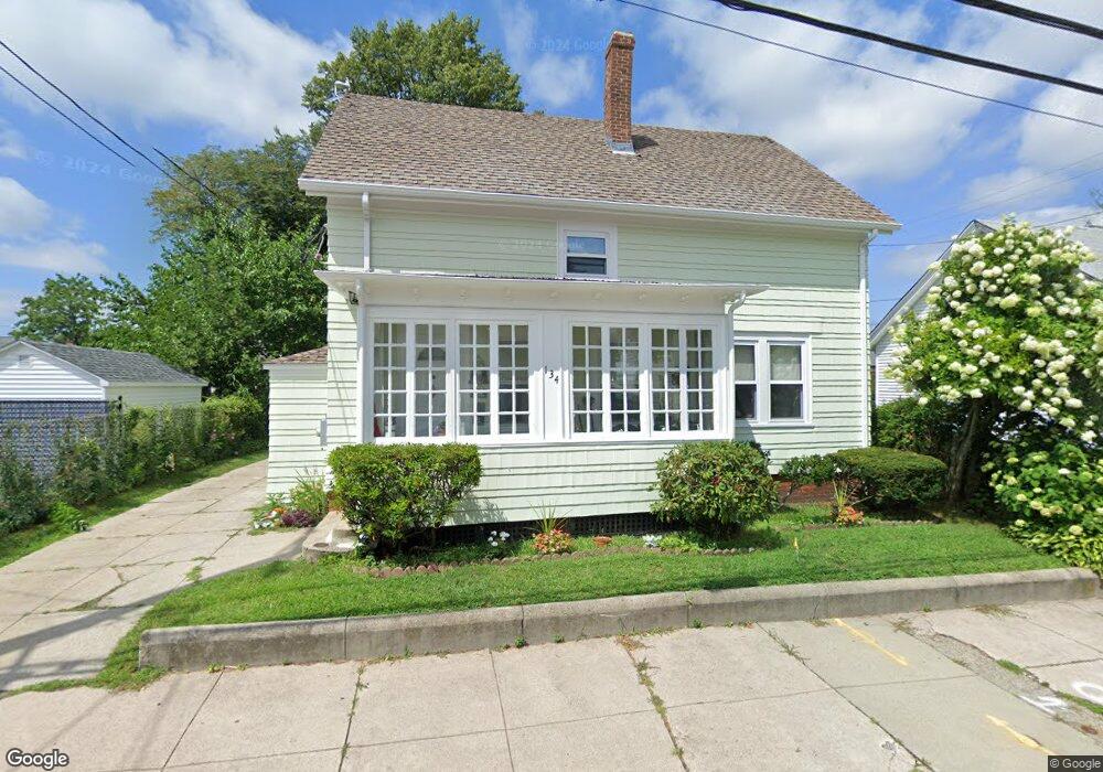
134 Perrin Ave Pawtucket, RI 02861
Darlington NeighborhoodEstimated Value: $385,000 - $401,000
4
Beds
2
Baths
1,152
Sq Ft
$340/Sq Ft
Est. Value
About This Home
This home is located at 134 Perrin Ave, Pawtucket, RI 02861 and is currently estimated at $391,611, approximately $339 per square foot. 134 Perrin Ave is a home located in Providence County with nearby schools including St Cecilia School and Saint Teresa Catholic Elementary School.
Ownership History
Date
Name
Owned For
Owner Type
Purchase Details
Closed on
Nov 19, 2019
Sold by
Doyon Keith A and Doyon Rachel A
Bought by
Doyon Ft
Current Estimated Value
Purchase Details
Closed on
Apr 26, 2000
Sold by
Doyon Lucille J
Bought by
Doyon Keith A and Doyon Rachel A
Create a Home Valuation Report for This Property
The Home Valuation Report is an in-depth analysis detailing your home's value as well as a comparison with similar homes in the area
Home Values in the Area
Average Home Value in this Area
Purchase History
| Date | Buyer | Sale Price | Title Company |
|---|---|---|---|
| Doyon Ft | -- | -- | |
| Doyon Keith A | $83,000 | -- |
Source: Public Records
Mortgage History
| Date | Status | Borrower | Loan Amount |
|---|---|---|---|
| Previous Owner | Doyon Keith A | $20,000 | |
| Previous Owner | Doyon Keith A | $115,000 | |
| Previous Owner | Doyon Keith A | $35,000 | |
| Previous Owner | Doyon Keith A | $73,500 |
Source: Public Records
Tax History Compared to Growth
Tax History
| Year | Tax Paid | Tax Assessment Tax Assessment Total Assessment is a certain percentage of the fair market value that is determined by local assessors to be the total taxable value of land and additions on the property. | Land | Improvement |
|---|---|---|---|---|
| 2025 | $3,904 | $296,900 | $145,600 | $151,300 |
| 2024 | $3,664 | $296,900 | $145,600 | $151,300 |
| 2023 | $3,410 | $201,300 | $76,800 | $124,500 |
| 2022 | $3,338 | $201,300 | $76,800 | $124,500 |
| 2021 | $3,338 | $201,300 | $76,800 | $124,500 |
| 2020 | $3,156 | $151,100 | $64,000 | $87,100 |
| 2019 | $3,156 | $151,100 | $64,000 | $87,100 |
| 2018 | $3,042 | $151,100 | $64,000 | $87,100 |
| 2017 | $2,863 | $126,000 | $49,700 | $76,300 |
| 2016 | $2,758 | $126,000 | $49,700 | $76,300 |
| 2015 | $2,758 | $126,000 | $49,700 | $76,300 |
| 2014 | $2,643 | $114,600 | $49,700 | $64,900 |
Source: Public Records
Map
Nearby Homes
- 304 Hughes Ave
- 113 Oakland Ave
- 140 Robinson Ave
- 84 Bellevue Ave
- 9 Makin St
- 1167 Newport Ave
- 49 Harcourt Ave
- 574 Central Ave
- 580 Central Ave
- 31 Norris Ave
- 126 Suffolk Ave
- 180 Darlingdale Ave
- 34 Robert St
- 5 Robert St
- 118 Chaplin St
- 83 Chaplin St
- 143 Hatfield St
- 0 Chaplin St
- 39 Chaplin St
- 133 Hanover Ave