134 Pete Pitts Ln Lucedale, MS 39452
Estimated Value: $198,815 - $239,000
3
Beds
2
Baths
1,450
Sq Ft
$148/Sq Ft
Est. Value
About This Home
This home is located at 134 Pete Pitts Ln, Lucedale, MS 39452 and is currently estimated at $214,704, approximately $148 per square foot. 134 Pete Pitts Ln is a home located in George County with nearby schools including George County High School.
Ownership History
Date
Name
Owned For
Owner Type
Purchase Details
Closed on
Nov 8, 2012
Sold by
Underwood Whitney N
Bought by
Parker Tylor Lane
Current Estimated Value
Home Financials for this Owner
Home Financials are based on the most recent Mortgage that was taken out on this home.
Original Mortgage
$119,631
Outstanding Balance
$82,528
Interest Rate
3.43%
Mortgage Type
Purchase Money Mortgage
Estimated Equity
$132,176
Purchase Details
Closed on
Feb 1, 2010
Sold by
Great Southern Homebuilders Llc
Bought by
Underwood Whitney N
Home Financials for this Owner
Home Financials are based on the most recent Mortgage that was taken out on this home.
Original Mortgage
$138,430
Interest Rate
5.16%
Mortgage Type
Purchase Money Mortgage
Create a Home Valuation Report for This Property
The Home Valuation Report is an in-depth analysis detailing your home's value as well as a comparison with similar homes in the area
Purchase History
| Date | Buyer | Sale Price | Title Company |
|---|---|---|---|
| Parker Tylor Lane | -- | -- | |
| Underwood Whitney N | -- | -- |
Source: Public Records
Mortgage History
| Date | Status | Borrower | Loan Amount |
|---|---|---|---|
| Open | Parker Tylor Lane | $119,631 | |
| Previous Owner | Underwood Whitney N | $138,430 |
Source: Public Records
Tax History
| Year | Tax Paid | Tax Assessment Tax Assessment Total Assessment is a certain percentage of the fair market value that is determined by local assessors to be the total taxable value of land and additions on the property. | Land | Improvement |
|---|---|---|---|---|
| 2025 | $1,026 | $12,361 | $0 | $0 |
| 2024 | $891 | $9,732 | $0 | $0 |
| 2023 | $1,015 | $10,762 | $0 | $0 |
| 2022 | $1,015 | $10,762 | $0 | $0 |
| 2021 | $1,015 | $10,762 | $0 | $0 |
| 2019 | $931 | $10,073 | $0 | $0 |
| 2018 | $1,231 | $10,073 | $0 | $0 |
| 2015 | -- | $9,830 | $0 | $0 |
| 2014 | -- | $9,830 | $0 | $0 |
Source: Public Records
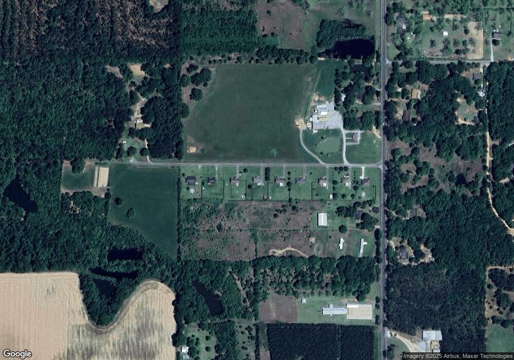
Map
Nearby Homes
- 140 Pete Pitts Rd
- 196C Easley Rd
- 2203 Cooks Corner Rd
- 337 V E Howell Rd
- 188 Devaughn Rd
- 164 Grady Brown Rd
- 0 Cooks Corner Rd
- 1164 Cooks Corner Rd
- 0 Redgate Rd
- 1214 Marshall Smith Rd
- 8105 Highway 613
- 13165 Highway 613
- 0 Marshall Smith Rd Unit 4135585
- 182 Blue Lakes Dr
- 197 Burgundy Dr
- Lot 26 Sandstone Cove
- 220 Marshall Smith Rd
- 206 Marshall Smith Rd
- 9277 Old Highway 63
- 139 September Ln
- 126 Pete Pitts Ln
- 112 Pete Pitts Ln
- 110 Pete Pitts Ln
- 150 Pete Pitts Ln
- 142 Pete Pitts Ln
- 122 Pete Pitts Ln
- 140 Pete Pitts Ln
- 106 Pete Pitts Ln
- 122 Pete Pitts Ln
- 142 Pete Pitts Ln
- 10209 Highway 613
- 10231 Mississippi 613
- 10239 Highway 613
- 106 Pete Pitts Rd
- 160 Pete Pitts Ln
- 10238 Highway 613
- 10150 Highway 613
- 10150 Highway 613
- 10210 Highway 613
- 10242 Highway 613
Your Personal Tour Guide
Ask me questions while you tour the home.