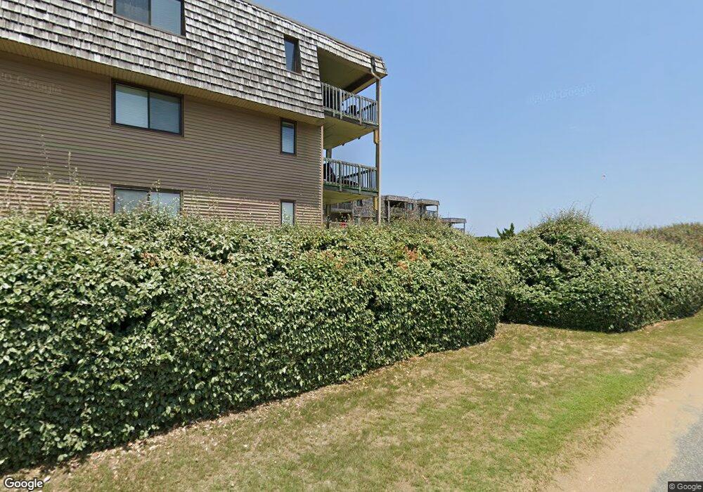
134 Plover Dr Unit 2H Kitty Hawk, NC 27949
Estimated Value: $584,000 - $2,807,000
3
Beds
2
Baths
1,176
Sq Ft
$1,014/Sq Ft
Est. Value
About This Home
This home is located at 134 Plover Dr Unit 2H, Kitty Hawk, NC 27949 and is currently estimated at $1,191,965, approximately $1,013 per square foot. 134 Plover Dr Unit 2H is a home located in Dare County with nearby schools including Kitty Hawk Elementary School, First Flight Middle School, and First Flight High School.
Ownership History
Date
Name
Owned For
Owner Type
Purchase Details
Closed on
May 26, 2023
Sold by
Myron Meeks Bobby and Shafer Mary
Bought by
Craig Scott A and Craig Jessica M
Current Estimated Value
Home Financials for this Owner
Home Financials are based on the most recent Mortgage that was taken out on this home.
Original Mortgage
$507,200
Outstanding Balance
$492,733
Interest Rate
6.25%
Mortgage Type
New Conventional
Estimated Equity
$699,232
Create a Home Valuation Report for This Property
The Home Valuation Report is an in-depth analysis detailing your home's value as well as a comparison with similar homes in the area
Home Values in the Area
Average Home Value in this Area
Purchase History
| Date | Buyer | Sale Price | Title Company |
|---|---|---|---|
| Craig Scott A | $3,804,000 | None Listed On Document |
Source: Public Records
Mortgage History
| Date | Status | Borrower | Loan Amount |
|---|---|---|---|
| Open | Craig Scott A | $507,200 |
Source: Public Records
Tax History
| Year | Tax Paid | Tax Assessment Tax Assessment Total Assessment is a certain percentage of the fair market value that is determined by local assessors to be the total taxable value of land and additions on the property. | Land | Improvement |
|---|---|---|---|---|
| 2025 | $2,904 | $641,400 | $275,000 | $366,400 |
| 2024 | $2,130 | $320,400 | $145,500 | $174,900 |
| 2023 | $2,031 | $327,396 | $145,500 | $181,896 |
| 2022 | $2,031 | $327,396 | $145,500 | $181,896 |
| 2021 | $2,031 | $327,396 | $145,500 | $181,896 |
| 2020 | $1,954 | $327,396 | $145,500 | $181,896 |
| 2019 | $2,197 | $310,300 | $195,000 | $115,300 |
| 2018 | $2,157 | $310,300 | $195,000 | $115,300 |
| 2017 | $2,110 | $310,300 | $195,000 | $115,300 |
| 2016 | $1,986 | $310,300 | $195,000 | $115,300 |
| 2014 | $1,986 | $310,300 | $195,000 | $115,300 |
Source: Public Records
Map
Nearby Homes
- 134 Plover Dr Unit lot A-3D
- 123 Georgetown Sands Rd Unit 24
- 123 Georgetown Sands Rd Unit 19
- 123 Georgetown Rd Unit 19
- 125 Seabreeze Dr
- 125 Seabreeze Dr Unit Lot 10
- 102 Sea Hawk Dr E Unit Lot 19
- 134 Four Seasons Ln Unit 81
- 101 Georgetown Sands Rd Unit 47
- 105 Plover Dr Unit Lot 3
- 134 Scarborough Ln Unit 50
- 102 Plover Dr Unit Lot 8
- 120 Tuckahoe Dr W Unit 75
- 102 Settlers Ln Unit Lot 7R
- 131 Brandon Ct Unit Lot 35
- 119 Osprey Ridge Rd Unit Lot 11
- 126 Jay Crest Rd Unit 3
- 45 N Dune Loop Unit Lot 55
- 103 Duck Landing Ln Unit Lot 49
- 102 Winauk Ct Unit 71
- 134 3-G Plover Dr Unit 3-G
- 134 Plover Dr Unit B- 2G
- 134 Plover Dr Unit 3
- 134 Plover Dr Unit 2D
- 134 Plover Dr Unit 1C
- 134 Plover Dr Unit 1B
- 134 Plover Dr Unit 3D
- 134 Plover Dr Unit 3 - I
- 134 Plover Dr Unit 2G
- 134G Plover Dr Unit 3 G
- 134 Plover Dr Unit 3C
- 134 Plover Dr Unit 3I
- 134 Plover Dr Unit 2I
- 134 Plover Dr Unit 1I
- 134 Plover Dr Unit 3H
- 134 Plover Dr Unit 1H
- 134 Plover Dr Unit 3G
- 134 Plover Dr Unit 1G
- 134 Plover Dr Unit 3F
- 134 Plover Dr Unit 2F
Your Personal Tour Guide
Ask me questions while you tour the home.