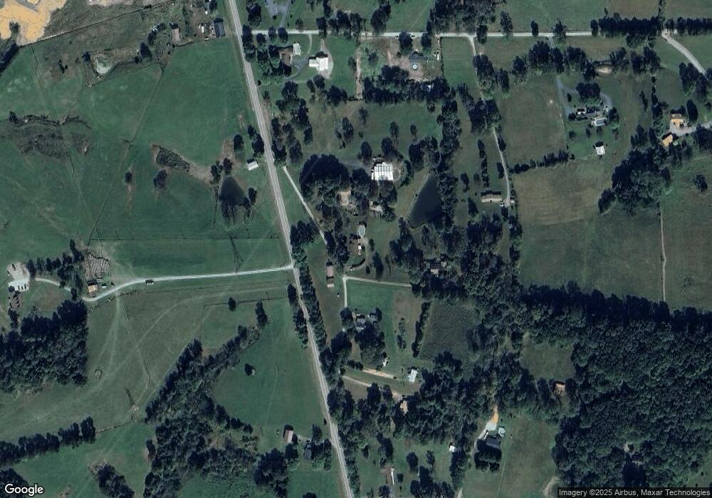
134 Ray Jones Cir Lafayette, TN 37083
Estimated Value: $231,000 - $294,000
--
Bed
1
Bath
2,864
Sq Ft
$93/Sq Ft
Est. Value
About This Home
This home is located at 134 Ray Jones Cir, Lafayette, TN 37083 and is currently estimated at $267,658, approximately $93 per square foot. 134 Ray Jones Cir is a home located in Macon County.
Ownership History
Date
Name
Owned For
Owner Type
Purchase Details
Closed on
Jul 11, 2005
Sold by
Max Mayhew
Bought by
Wagoner Michael W
Current Estimated Value
Home Financials for this Owner
Home Financials are based on the most recent Mortgage that was taken out on this home.
Original Mortgage
$75,000
Interest Rate
5.46%
Mortgage Type
Cash
Purchase Details
Closed on
Aug 19, 2002
Sold by
Dorothy Bandy
Bought by
Max Mayhew
Purchase Details
Closed on
Jul 19, 1971
Bought by
Jones Ray and Jones Minnie
Create a Home Valuation Report for This Property
The Home Valuation Report is an in-depth analysis detailing your home's value as well as a comparison with similar homes in the area
Home Values in the Area
Average Home Value in this Area
Purchase History
| Date | Buyer | Sale Price | Title Company |
|---|---|---|---|
| Wagoner Michael W | $85,000 | -- | |
| Max Mayhew | $72,000 | -- | |
| Jones Ray | -- | -- |
Source: Public Records
Mortgage History
| Date | Status | Borrower | Loan Amount |
|---|---|---|---|
| Closed | Jones Ray | $75,000 |
Source: Public Records
Tax History Compared to Growth
Tax History
| Year | Tax Paid | Tax Assessment Tax Assessment Total Assessment is a certain percentage of the fair market value that is determined by local assessors to be the total taxable value of land and additions on the property. | Land | Improvement |
|---|---|---|---|---|
| 2024 | $925 | $65,075 | $16,025 | $49,050 |
| 2023 | $925 | $65,075 | $0 | $0 |
| 2022 | $845 | $35,225 | $13,825 | $21,400 |
| 2021 | $845 | $35,225 | $13,825 | $21,400 |
| 2020 | $845 | $35,225 | $13,825 | $21,400 |
| 2019 | $845 | $35,225 | $13,825 | $21,400 |
| 2018 | $769 | $34,750 | $13,825 | $20,925 |
| 2017 | $707 | $28,050 | $8,725 | $19,325 |
| 2016 | $673 | $28,050 | $8,725 | $19,325 |
| 2015 | $673 | $28,050 | $8,725 | $19,325 |
| 2014 | $673 | $28,027 | $0 | $0 |
Source: Public Records
Map
Nearby Homes
- 165 Pleasant Hill Rd
- 4574 Long Creek Rd
- 4510 Long Creek Rd
- 1243 Cave Hill Rd
- 5252 White Springs Ln
- 0 White Springs Ln
- 5128 White Springs Ln
- 5110 White Springs Ln
- 923 White Springs Rd
- 754 Sparrow Rd
- 2 White Springs Rd
- 114 White Springs Rd
- 0 White Springs Rd Unit RTC2907895
- 400 White Springs Rd
- 849 Jack Porter Rd
- 0 Johns Creek Rd
- 317 Jack Porter Rd
- 105 Gammons Ln
- 309 Caydra's Way
- 1021 Maple Grove Rd
- 134 Ray Jones Cir
- 192 Ray Jones Cir
- 112 Ray Jones Cir
- 190 Jim Chitwood Ln
- 4895 Scottsville Rd
- 22 Ray Jones Cir
- 144 Jim Chitwood Ln
- 4960 Scottsville Rd
- 4621 Scottsville Rd
- 4600 Scottsville Rd
- 101 Landrum Ln
- 101 Landrum Ln
- 5006 Scottsville Rd
- 4783 Scottsville Rd
- 256 Jim Chitwood Ln
- 5029 Scottsville Rd
- 4533 Scottsville Rd
- 360 Jim Chitwood Ln
- 229 Landrum Ln
- 5113 Scottsville Rd
