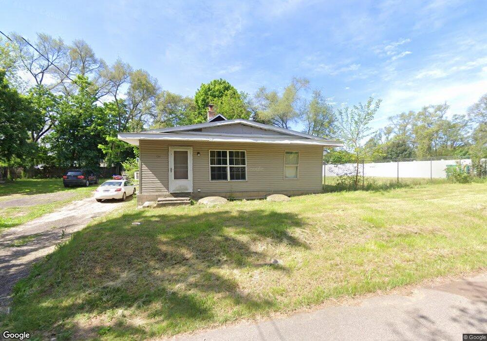
134 Theodore St Battle Creek, MI 49014
Estimated Value: $134,000 - $155,000
3
Beds
2
Baths
1,261
Sq Ft
$113/Sq Ft
Est. Value
About This Home
This home is located at 134 Theodore St, Battle Creek, MI 49014 and is currently estimated at $142,407, approximately $112 per square foot. 134 Theodore St is a home located in Calhoun County with nearby schools including Verona Elementary School, Springfield Middle School, and Battle Creek Central High School.
Ownership History
Date
Name
Owned For
Owner Type
Purchase Details
Closed on
Mar 26, 2014
Sold by
Fannie Mae
Bought by
Bulstron Lena
Current Estimated Value
Purchase Details
Closed on
May 17, 2004
Sold by
Shaver Betty L
Bought by
Vasquez Lena
Home Financials for this Owner
Home Financials are based on the most recent Mortgage that was taken out on this home.
Original Mortgage
$27,000
Interest Rate
5.85%
Mortgage Type
Purchase Money Mortgage
Create a Home Valuation Report for This Property
The Home Valuation Report is an in-depth analysis detailing your home's value as well as a comparison with similar homes in the area
Home Values in the Area
Average Home Value in this Area
Purchase History
| Date | Buyer | Sale Price | Title Company |
|---|---|---|---|
| Bulstron Lena | $10,000 | Parks Title | |
| Vasquez Lena | $27,000 | Chicago Title |
Source: Public Records
Mortgage History
| Date | Status | Borrower | Loan Amount |
|---|---|---|---|
| Previous Owner | Vasquez Lena | $27,000 |
Source: Public Records
Tax History Compared to Growth
Tax History
| Year | Tax Paid | Tax Assessment Tax Assessment Total Assessment is a certain percentage of the fair market value that is determined by local assessors to be the total taxable value of land and additions on the property. | Land | Improvement |
|---|---|---|---|---|
| 2025 | $1,753 | $62,520 | $0 | $0 |
| 2024 | $518 | $39,320 | $0 | $0 |
| 2023 | $1,587 | $36,980 | $0 | $0 |
| 2022 | $470 | $30,580 | $0 | $0 |
| 2021 | $1,484 | $26,150 | $0 | $0 |
| 2020 | $1,489 | $25,450 | $0 | $0 |
| 2019 | $850 | $25,500 | $0 | $0 |
| 2018 | $1,222 | $23,650 | $1,500 | $22,150 |
| 2017 | $1,222 | $22,650 | $0 | $0 |
| 2016 | $1,222 | $21,950 | $0 | $0 |
| 2015 | $601 | $20,600 | $4,585 | $16,015 |
| 2014 | $601 | $20,800 | $4,585 | $16,215 |
Source: Public Records
Map
Nearby Homes
- 0 Rook St Unit 25019652
- 153 Martin St
- 329 Vass Ave
- 113 Rook Ct
- 23 Bradford St
- 140 Princeton St S
- 605 Westbrook Ave
- 52 Maple Grove Ave
- 45 Traverse St
- 85 East Ave S
- 723 Capital Ave NE
- 28 Convis St
- 0 Pickford Ave
- 15 Sanderson St
- 28 East Ave S
- 186 Bryant St
- 0 E River Rd
- 179 Bryant St
- 488 Capital Ave NE
- 495 Emmett St E
- 138 Theodore St
- 0 Theodore St
- 233 Cohasset Ave
- 140 Theodore St
- 237 Cohasset Ave
- 237 Cohasset Ave
- 223 Cohasset Ave
- 219 Cohasset Ave
- 55 Sprague St
- 226 Cohasset Ave
- 224 Cohasset Ave
- 205 Cohasset Ave
- 216 Cohasset Ave
- 222 Cohasset Ave
- 244 Cohasset Ave
- 195 Theodore St
- 54 Sprague St
- 200 Cohasset Ave
- 309 Cohasset Ave
- 129 Cohasset Ave