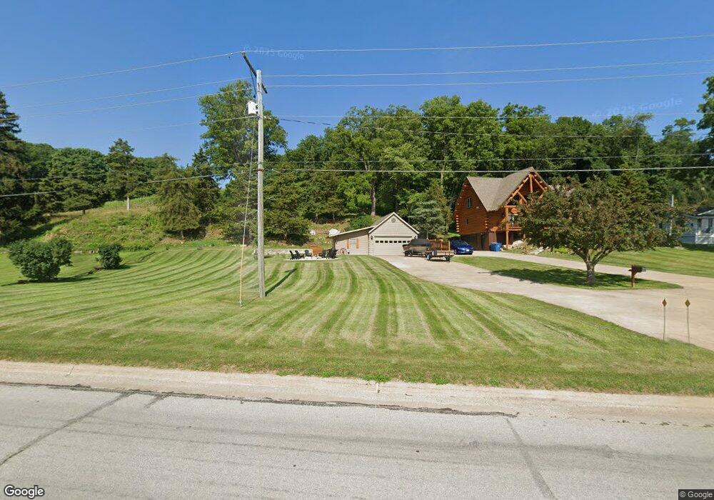
1340 Highway 67 Princeton, IA 52768
Estimated Value: $304,000
4
Beds
2
Baths
1,816
Sq Ft
$167/Sq Ft
Est. Value
About This Home
This home is located at 1340 Highway 67, Princeton, IA 52768 and is currently estimated at $304,000, approximately $167 per square foot. 1340 Highway 67 is a home located in Scott County with nearby schools including Virgil Grissom Elementary School, North Scott Junior High School, and North Scott Senior High School.
Ownership History
Date
Name
Owned For
Owner Type
Purchase Details
Closed on
Aug 23, 2022
Sold by
Edwards Joel H and Edwards Joel
Bought by
Fenton Sarai
Current Estimated Value
Home Financials for this Owner
Home Financials are based on the most recent Mortgage that was taken out on this home.
Original Mortgage
$254,000
Outstanding Balance
$240,485
Interest Rate
4.38%
Mortgage Type
New Conventional
Estimated Equity
$63,515
Create a Home Valuation Report for This Property
The Home Valuation Report is an in-depth analysis detailing your home's value as well as a comparison with similar homes in the area
Home Values in the Area
Average Home Value in this Area
Purchase History
| Date | Buyer | Sale Price | Title Company |
|---|---|---|---|
| Fenton Sarai | $454,000 | None Listed On Document |
Source: Public Records
Mortgage History
| Date | Status | Borrower | Loan Amount |
|---|---|---|---|
| Open | Fenton Sarai | $254,000 |
Source: Public Records
Tax History Compared to Growth
Tax History
| Year | Tax Paid | Tax Assessment Tax Assessment Total Assessment is a certain percentage of the fair market value that is determined by local assessors to be the total taxable value of land and additions on the property. | Land | Improvement |
|---|---|---|---|---|
| 2025 | -- | $0 | $0 | $0 |
| 2024 | -- | $0 | $0 | $0 |
| 2023 | $940 | $0 | $0 | $0 |
| 2022 | $990 | $63,930 | $50,990 | $12,940 |
| 2021 | $990 | $63,930 | $50,990 | $12,940 |
| 2020 | $1,040 | $62,210 | $50,990 | $11,220 |
| 2019 | $2,742 | $163,590 | $56,650 | $106,940 |
| 2018 | $2,828 | $163,590 | $56,650 | $106,940 |
| 2017 | $2,988 | $163,590 | $56,650 | $106,940 |
| 2016 | $2,944 | $169,330 | $0 | $0 |
| 2015 | $2,944 | $163,690 | $0 | $0 |
| 2014 | $2,730 | $163,690 | $0 | $0 |
| 2013 | $2,684 | $0 | $0 | $0 |
| 2012 | -- | $163,690 | $56,650 | $107,040 |
Source: Public Records
Map
Nearby Homes
- 1502 Highway 67
- 1023 2nd St
- 1005 2nd St
- 28055 238th St
- Lot 25 238th St
- 110 8th St S
- 27998 229th St
- 22799 Great River Rd
- 28009 230th St
- 11816 N 84 Hwy
- 104 Illinois 84
- 28176 226th St
- 22206 280th Ave
- 16808 River Rd N
- Lot 3 Lakeside Dr
- Lot 4 Lakeside Dr
- 27841 Bowker Dr
- 1914 Ridgefield Dr
- 18312 River Rd N
- 11 Viola Dr
- 1340 Highway 67
- 1340 Highway 67
- 1340 Highway 67
- 1336 Highway 67
- 1426 Highway 67
- 1332 U S 67
- 1332 Highway 67
- 1326 U S 67
- 1326 Highway 67
- 0 Hwy 67 Unit 7031890
- 0 Hwy 67 Unit 7033971
- 0 Hwy 67 Unit 4152699
- 0 Hwy 67 Unit 4165574
- 218 Bluff Blvd
- 1320 Highway 67
- 1502 U S 67
- 1500 Highway 67
- 128 Bluff Blvd
- 126 Bluff Blvd
- 1318 Highway 67