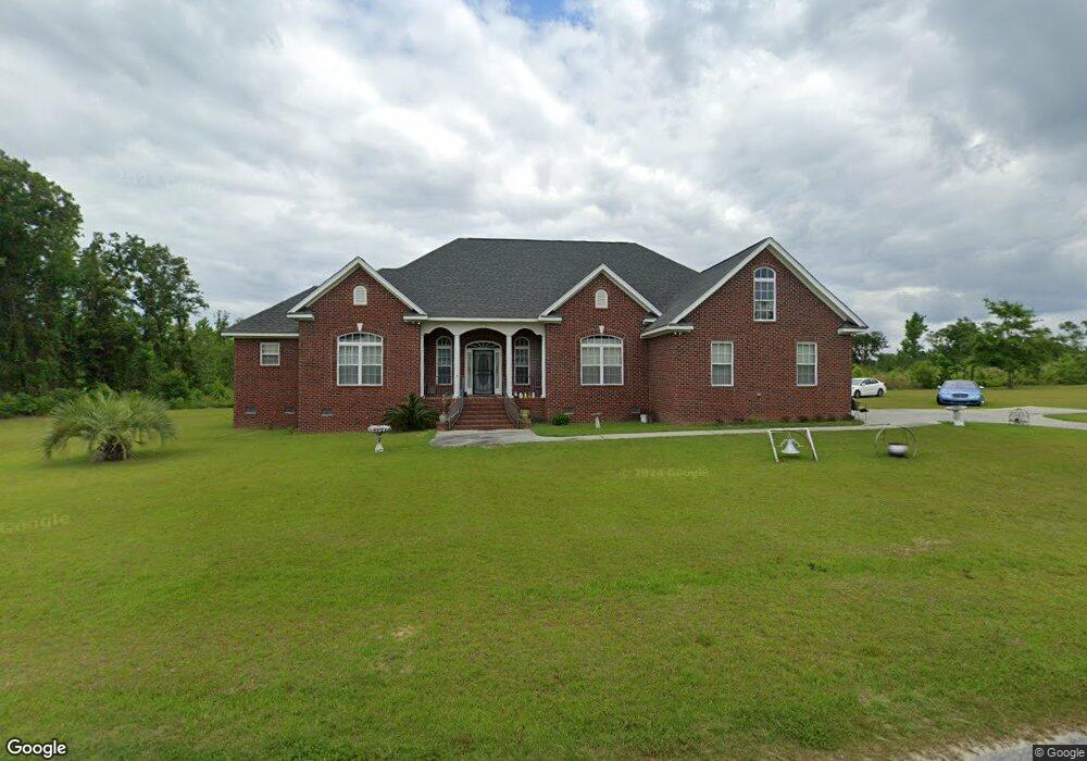
1340 Mattie Ave Manning, SC 29102
Estimated Value: $361,355 - $515,000
Studio
--
Bath
2,674
Sq Ft
$152/Sq Ft
Est. Value
About This Home
This home is located at 1340 Mattie Ave, Manning, SC 29102 and is currently estimated at $405,339, approximately $151 per square foot. 1340 Mattie Ave is a home.
Ownership History
Date
Name
Owned For
Owner Type
Purchase Details
Closed on
Nov 20, 2008
Sold by
Cobb Lue Ida Miller
Bought by
Cobb James and Cobb Lue Ida Miller
Current Estimated Value
Home Financials for this Owner
Home Financials are based on the most recent Mortgage that was taken out on this home.
Original Mortgage
$175,000
Interest Rate
5.89%
Mortgage Type
Construction
Create a Home Valuation Report for This Property
The Home Valuation Report is an in-depth analysis detailing your home's value as well as a comparison with similar homes in the area
Home Values in the Area
Average Home Value in this Area
Purchase History
| Date | Buyer | Sale Price | Title Company |
|---|---|---|---|
| Cobb James | -- | None Available |
Source: Public Records
Mortgage History
| Date | Status | Borrower | Loan Amount |
|---|---|---|---|
| Closed | Cobb James | $175,000 |
Source: Public Records
Tax History
| Year | Tax Paid | Tax Assessment Tax Assessment Total Assessment is a certain percentage of the fair market value that is determined by local assessors to be the total taxable value of land and additions on the property. | Land | Improvement |
|---|---|---|---|---|
| 2025 | $1,838 | $11,060 | $480 | $10,580 |
| 2024 | $1,838 | $11,060 | $480 | $10,580 |
| 2023 | $1,802 | $11,060 | $480 | $10,580 |
| 2022 | $1,781 | $11,060 | $480 | $10,580 |
| 2021 | $1,456 | $9,628 | $220 | $9,408 |
| 2020 | $1,456 | $9,628 | $220 | $9,408 |
| 2019 | $1,348 | $9,628 | $220 | $9,408 |
| 2018 | $1,267 | $9,628 | $0 | $0 |
| 2017 | $1,267 | $9,628 | $0 | $0 |
| 2016 | $1,227 | $9,628 | $0 | $0 |
| 2015 | $1,259 | $9,716 | $220 | $9,496 |
| 2014 | $1,239 | $9,716 | $220 | $9,496 |
| 2013 | -- | $9,716 | $220 | $9,496 |
Source: Public Records
Map
Nearby Homes
- 1401 Charles Dr
- 1583 Wyboo Ave
- 1343 Morello Rd
- 1229 Lemon Ave
- 1026 Carolina Way
- 1580 Stillwater Dr
- 1015 Carolina Way
- 1016 Crawford Dr
- 1702 Camp Shelor Rd
- 1203 Cypress Pointe Unit A203
- 2205 Cypress Pointe Unit B 205
- 1083 Copperhead Rd
- 1156 W A Gamble Rd
- 10841 Hwy 260
- 1088 Shore Dr
- 1205 Davis St
- 1339 Nightfall Ln
- 1605 Rowland Rd
- 1390 Nightfall Ln
- 1435 Stukes Rd
- 1544 Malibu Dr
- 1464 Malibu Dr
- 1243 Mattie Ave
- 1968 Patriot Rd
- 1134 Mattie Ave
- 1996 Patriot Rd
- TBD Malibu Dr
- 1479 Beaver Dr
- 1871 Patriot Rd
- 1501 Beaver Dr
- 1062 Rockfish Dr
- 1519 Beaver Dr
- 1465 Beaver Dr
- 2060 Patriot Rd
- Lot 2 Patriot Rd
- Lot 1 Patriot Rd
- 2589 Patriot Rd
- 2 Patriot Rd
- 2-2A Patriot Rd
- 0 Patriot Rd Unit 55078
Your Personal Tour Guide
Ask me questions while you tour the home.