1340 Range Rd Port Huron, MI 48060
Estimated Value: $245,000 - $298,000
3
Beds
2
Baths
1,951
Sq Ft
$135/Sq Ft
Est. Value
About This Home
This home is located at 1340 Range Rd, Port Huron, MI 48060 and is currently estimated at $263,555, approximately $135 per square foot. 1340 Range Rd is a home located in St. Clair County with nearby schools including Kimball Elementary School, Central Middle School, and Port Huron High School.
Create a Home Valuation Report for This Property
The Home Valuation Report is an in-depth analysis detailing your home's value as well as a comparison with similar homes in the area
Home Values in the Area
Average Home Value in this Area
Mortgage History
| Date | Status | Borrower | Loan Amount |
|---|---|---|---|
| Closed | Hills Eugene F | $63,000 | |
| Closed | Hills Eugene F | $700,000 |
Source: Public Records
Tax History Compared to Growth
Tax History
| Year | Tax Paid | Tax Assessment Tax Assessment Total Assessment is a certain percentage of the fair market value that is determined by local assessors to be the total taxable value of land and additions on the property. | Land | Improvement |
|---|---|---|---|---|
| 2024 | $1,461 | $116,200 | $0 | $0 |
| 2023 | $1,348 | $108,900 | $0 | $0 |
| 2022 | $2,572 | $99,400 | $0 | $0 |
| 2021 | $2,368 | $95,800 | $0 | $0 |
| 2020 | $2,368 | $91,800 | $91,800 | $0 |
| 2019 | $2,329 | $71,000 | $0 | $0 |
| 2018 | $2,279 | $71,000 | $0 | $0 |
| 2017 | $2,234 | $71,000 | $0 | $0 |
| 2016 | $1,107 | $71,000 | $0 | $0 |
| 2015 | -- | $64,000 | $64,000 | $0 |
| 2014 | -- | $63,000 | $63,000 | $0 |
| 2013 | -- | $61,500 | $0 | $0 |
Source: Public Records
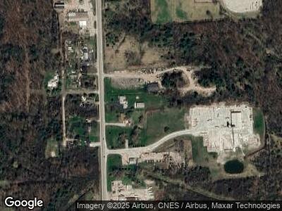
Map
Nearby Homes
- 1340 Range Rd
- 1320 Range Rd
- 1365 Range Rd
- 1315 Range Rd
- 00 Woodrow Ave
- 1305 Range Rd
- 1374 Woodrow St
- 0 Woodrow St Unit 4556790
- 0 Woodrow St Unit 31014904
- 1377 Woodrow St
- 1301 Woodrow St
- 1280 Range Rd
- 1428 Range Rd
- 1300 Range Rd
- VAC Nern
- 1264 Range Rd
- 4391 Dove Rd
- 1253 Quain Ln
- 4373 Dove Rd
- 1255 Quain Ln