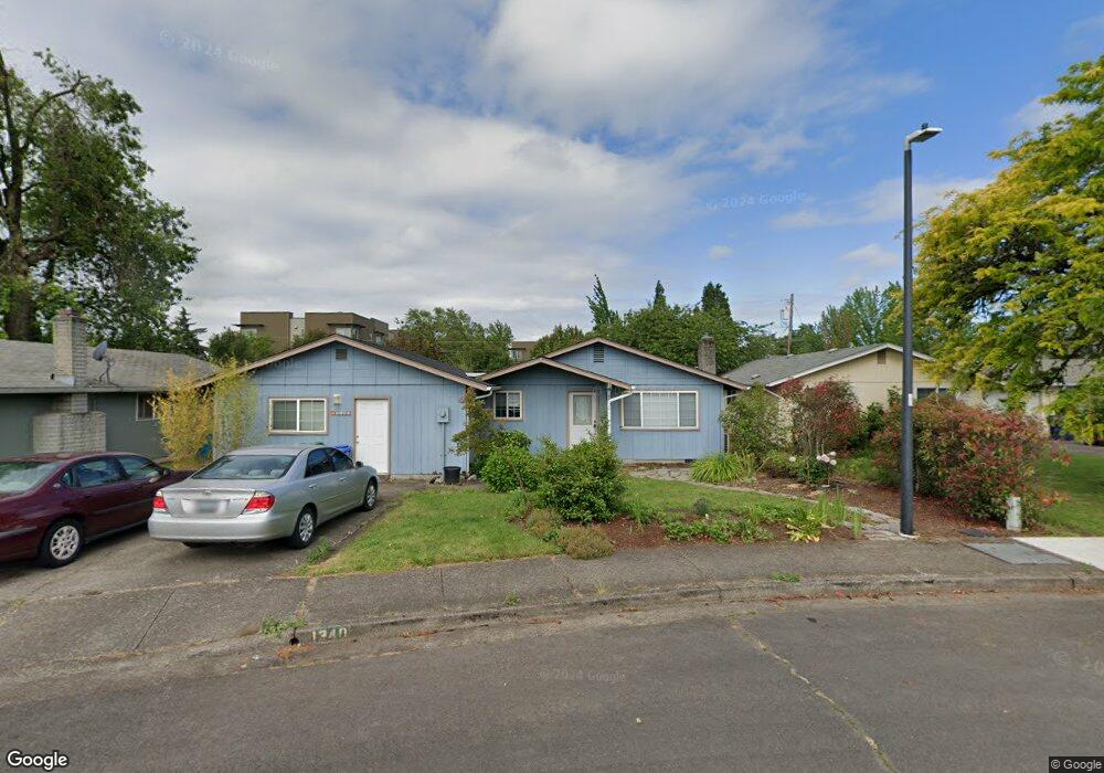
1340 Riggs St Eugene, OR 97401
Harlow NeighborhoodEstimated Value: $424,550 - $489,000
3
Beds
1
Bath
1,050
Sq Ft
$425/Sq Ft
Est. Value
About This Home
This home is located at 1340 Riggs St, Eugene, OR 97401 and is currently estimated at $446,638, approximately $425 per square foot. 1340 Riggs St is a home located in Lane County with nearby schools including Holt Elementary School, Monroe Middle School, and Sheldon High School.
Ownership History
Date
Name
Owned For
Owner Type
Purchase Details
Closed on
Feb 4, 2025
Sold by
Dobra Albert F and Dobra Sharon K
Bought by
Dobra Family Trust and Dobra
Current Estimated Value
Purchase Details
Closed on
Jan 18, 2005
Sold by
Lee Kyung Ok
Bought by
Dobra Albert F and Dobra Sharon K
Home Financials for this Owner
Home Financials are based on the most recent Mortgage that was taken out on this home.
Original Mortgage
$112,255
Interest Rate
5.69%
Mortgage Type
FHA
Create a Home Valuation Report for This Property
The Home Valuation Report is an in-depth analysis detailing your home's value as well as a comparison with similar homes in the area
Home Values in the Area
Average Home Value in this Area
Purchase History
| Date | Buyer | Sale Price | Title Company |
|---|---|---|---|
| Dobra Family Trust | -- | None Listed On Document | |
| Dobra Albert F | $130,000 | American Title Group |
Source: Public Records
Mortgage History
| Date | Status | Borrower | Loan Amount |
|---|---|---|---|
| Previous Owner | Dobra Albert F | $112,255 |
Source: Public Records
Tax History
| Year | Tax Paid | Tax Assessment Tax Assessment Total Assessment is a certain percentage of the fair market value that is determined by local assessors to be the total taxable value of land and additions on the property. | Land | Improvement |
|---|---|---|---|---|
| 2025 | $3,863 | $198,268 | -- | -- |
| 2024 | $3,815 | $192,494 | -- | -- |
| 2023 | $3,815 | $186,888 | $0 | $0 |
| 2022 | $3,574 | $181,445 | $0 | $0 |
| 2021 | $3,357 | $176,161 | $0 | $0 |
| 2020 | $3,369 | $171,031 | $0 | $0 |
| 2019 | $3,253 | $166,050 | $0 | $0 |
| 2018 | $3,063 | $156,518 | $0 | $0 |
| 2017 | $2,925 | $156,518 | $0 | $0 |
| 2016 | $2,822 | $151,959 | $0 | $0 |
| 2015 | $2,698 | $147,533 | $0 | $0 |
| 2014 | $2,613 | $143,236 | $0 | $0 |
Source: Public Records
Map
Nearby Homes
- 950 Coburg Rd
- 3025 Bailey Ln
- 0 Sprig Ln Unit Lot 3
- 0 Sprig Ln Unit Lot 3 766109892
- 2872 Suffolk Ct
- 2355 Pioneer Pike
- 820 Lariat Dr
- 3090 Willakenzie Rd
- 2746 Harlow Rd
- 600 Cherry Dr Unit 8
- 860 N van Duyn St
- 2065 Providence St
- 1491 Victorian Way
- 1038 President St
- 1270 Calvin St
- 825 Waverly St
- 347 Rustic Place Unit 14
- 1794 Kings St N
- 1564 Regency Dr
- 2994 Dapple Way
Your Personal Tour Guide
Ask me questions while you tour the home.