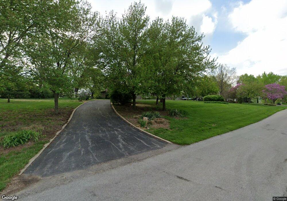
13400 Kimberly Cir Olathe, KS 66061
Estimated Value: $501,000 - $799,000
3
Beds
4
Baths
2,278
Sq Ft
$273/Sq Ft
Est. Value
About This Home
This home is located at 13400 Kimberly Cir, Olathe, KS 66061 and is currently estimated at $621,767, approximately $272 per square foot. 13400 Kimberly Cir is a home located in Johnson County with nearby schools including Starside Elementary School, Lexington Trails Middle School, and De Soto High School.
Ownership History
Date
Name
Owned For
Owner Type
Purchase Details
Closed on
Sep 27, 2006
Sold by
Churchbaugh Ronald Jay and Duquet Sylvia Ann
Bought by
Churchbaugh Ronald Jay and Churchbaugh Sylvia A
Current Estimated Value
Home Financials for this Owner
Home Financials are based on the most recent Mortgage that was taken out on this home.
Original Mortgage
$300,000
Interest Rate
6.17%
Mortgage Type
New Conventional
Create a Home Valuation Report for This Property
The Home Valuation Report is an in-depth analysis detailing your home's value as well as a comparison with similar homes in the area
Home Values in the Area
Average Home Value in this Area
Purchase History
| Date | Buyer | Sale Price | Title Company |
|---|---|---|---|
| Churchbaugh Ronald Jay | -- | First American Title Ins |
Source: Public Records
Mortgage History
| Date | Status | Borrower | Loan Amount |
|---|---|---|---|
| Closed | Churchbaugh Ronald Jay | $300,000 |
Source: Public Records
Tax History Compared to Growth
Tax History
| Year | Tax Paid | Tax Assessment Tax Assessment Total Assessment is a certain percentage of the fair market value that is determined by local assessors to be the total taxable value of land and additions on the property. | Land | Improvement |
|---|---|---|---|---|
| 2024 | $5,659 | $50,266 | $15,825 | $34,441 |
| 2023 | $5,414 | $48,001 | $15,072 | $32,929 |
| 2022 | $4,859 | $42,791 | $13,694 | $29,097 |
| 2021 | $4,589 | $39,399 | $11,408 | $27,991 |
| 2020 | $4,476 | $38,169 | $11,408 | $26,761 |
| 2019 | $4,498 | $37,732 | $11,408 | $26,324 |
| 2018 | $4,407 | $36,536 | $11,443 | $25,093 |
| 2017 | $4,451 | $35,696 | $9,536 | $26,160 |
| 2016 | $4,138 | $32,833 | $9,536 | $23,297 |
| 2015 | $4,240 | $32,959 | $9,536 | $23,423 |
| 2013 | -- | $28,221 | $9,536 | $18,685 |
Source: Public Records
Map
Nearby Homes
- 27240 W 135th St
- Sage Plan at Forest View - Forrest View
- 25480 W 131st St
- 13985 S Landon St
- Zachary Plan at Whitetail
- Xavier Plan at Whitetail
- Thaddeus Plan at Whitetail
- Sutton Plan at Whitetail
- Scorpio Plan at Whitetail
- Porter Plan at Whitetail
- Noah Plan at Whitetail
- Olivia Plan at Whitetail
- Nicholas Plan at Whitetail
- Nadia Plan at Whitetail
- Matthew Plan at Whitetail
- Mateo Plan at Whitetail
- Marius Plan at Whitetail
- Madeline Plan at Whitetail
- Lucas Plan at Whitetail
- Louis Plan at Whitetail
- Lot 2 Sherwood Meadows N A
- Lot 1 Sherwood Meadows N A
- Indust Bypass & 167th St
- 0 NS S Provence St
- 10 W 119 St
- 21 21 E Jump St
- 2121 Kansas City Rd
- 12666 S Belford St
- 1804 W Catapla St
- 16855 S Lone Rd
- SpoonC S Spoon Creek Rd
- Industrial Bypass & 167th St
- 100 S Test
- 14890 Evening Star Rd
- 151 & Evening Star Rd
- 14880 Evening Star Rd
- 151st W Evening Star Rd
- 34 Moonlight Ranch 34 Dr
- 42 Moonlight Ranch 42 Dr
- 31 Moonlight Ranch 31 Dr
