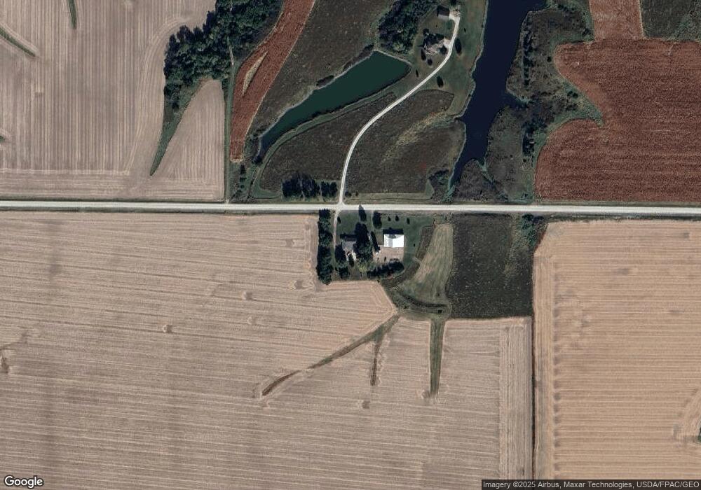
13401 260th St Mediapolis, IA 52637
Estimated Value: $300,000 - $329,000
5
Beds
2
Baths
2,088
Sq Ft
$150/Sq Ft
Est. Value
About This Home
This home is located at 13401 260th St, Mediapolis, IA 52637 and is currently estimated at $312,839, approximately $149 per square foot. 13401 260th St is a home located in Des Moines County with nearby schools including Mediapolis Elementary School, Mediapolis Community Middle School, and Mediapolis High School.
Ownership History
Date
Name
Owned For
Owner Type
Purchase Details
Closed on
Nov 18, 2010
Sold by
Marlow Jason K and Marlow April D
Bought by
Massner Derek D and Massner Alissa L
Current Estimated Value
Home Financials for this Owner
Home Financials are based on the most recent Mortgage that was taken out on this home.
Original Mortgage
$186,000
Outstanding Balance
$122,219
Interest Rate
4.19%
Mortgage Type
New Conventional
Estimated Equity
$190,620
Create a Home Valuation Report for This Property
The Home Valuation Report is an in-depth analysis detailing your home's value as well as a comparison with similar homes in the area
Home Values in the Area
Average Home Value in this Area
Purchase History
| Date | Buyer | Sale Price | Title Company |
|---|---|---|---|
| Massner Derek D | $175,000 | -- |
Source: Public Records
Mortgage History
| Date | Status | Borrower | Loan Amount |
|---|---|---|---|
| Open | Massner Derek D | $186,000 |
Source: Public Records
Tax History Compared to Growth
Tax History
| Year | Tax Paid | Tax Assessment Tax Assessment Total Assessment is a certain percentage of the fair market value that is determined by local assessors to be the total taxable value of land and additions on the property. | Land | Improvement |
|---|---|---|---|---|
| 2025 | $2,876 | $305,600 | $35,600 | $270,000 |
| 2024 | $2,876 | $269,700 | $35,600 | $234,100 |
| 2023 | $2,798 | $269,700 | $35,600 | $234,100 |
| 2022 | $2,734 | $229,100 | $35,600 | $193,500 |
| 2021 | $2,734 | $229,100 | $35,600 | $193,500 |
| 2020 | $2,932 | $229,100 | $35,600 | $193,500 |
| 2019 | $2,042 | $229,100 | $35,600 | $193,500 |
| 2018 | $1,998 | $155,800 | $32,300 | $123,500 |
| 2017 | $2,022 | $153,400 | $0 | $0 |
| 2016 | $1,958 | $153,400 | $0 | $0 |
| 2015 | $1,958 | $153,400 | $0 | $0 |
| 2014 | $1,984 | $152,800 | $0 | $0 |
Source: Public Records
Map
Nearby Homes
- 1011 Middle St
- 1012 Main St
- 600 E Division St
- 205 Laci Dru
- 209 Laci Dru
- 201 Laci Dru
- 310 S Church St
- 208 E Division St
- 110 N Blair St
- 3556 Highway 99
- 920 S 4th St
- 116 Roy El Rd
- 609 S Main St
- 418 S 5th St
- 4005 Concord Ln
- 4001 Concord Ln
- 4003 Concord Ln
- 21482 260th St
- 27732 Hawk Woods L31 Blk2
- 534 Jefferson St