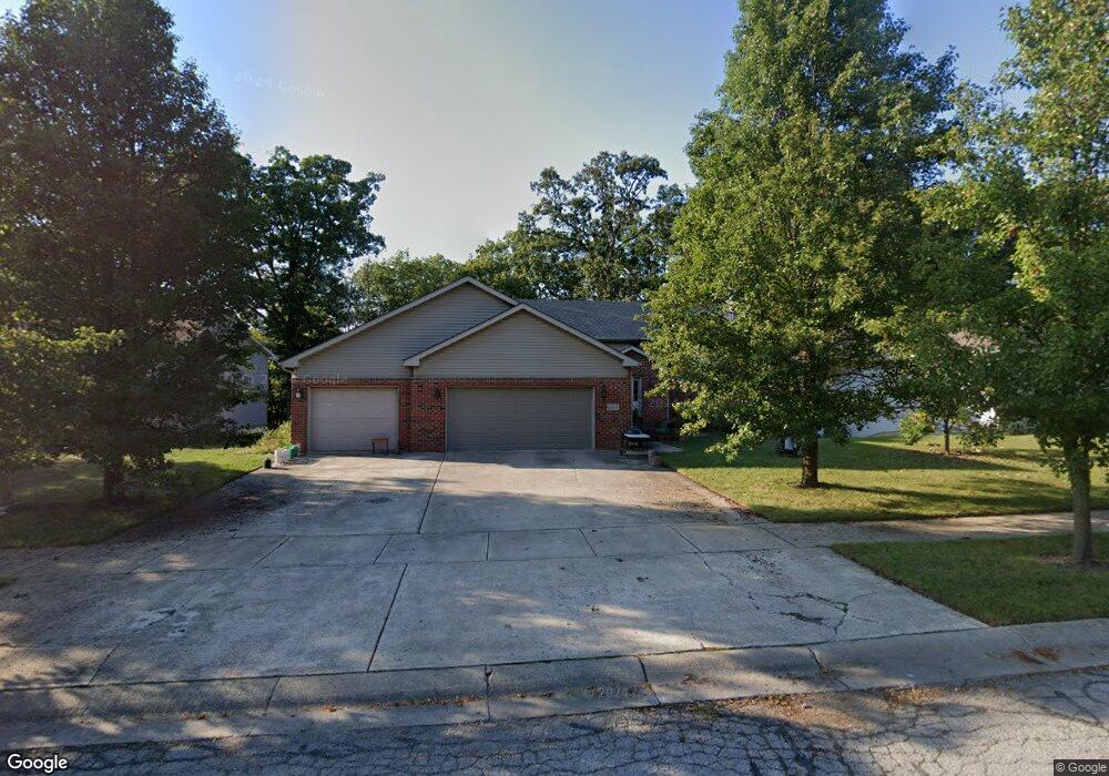
13404 Robin Dr Cedar Lake, IN 46303
Estimated Value: $330,000 - $384,000
3
Beds
2
Baths
1,518
Sq Ft
$234/Sq Ft
Est. Value
About This Home
This home is located at 13404 Robin Dr, Cedar Lake, IN 46303 and is currently estimated at $354,838, approximately $233 per square foot. 13404 Robin Dr is a home located in Lake County with nearby schools including Douglas MacArthur Elementary School, Robert Taft Middle School, and Crown Point High School.
Ownership History
Date
Name
Owned For
Owner Type
Purchase Details
Closed on
Sep 9, 2013
Sold by
Chandos Misty R
Bought by
Chandos Christopher S
Current Estimated Value
Home Financials for this Owner
Home Financials are based on the most recent Mortgage that was taken out on this home.
Original Mortgage
$159,000
Interest Rate
3.62%
Mortgage Type
Adjustable Rate Mortgage/ARM
Create a Home Valuation Report for This Property
The Home Valuation Report is an in-depth analysis detailing your home's value as well as a comparison with similar homes in the area
Home Values in the Area
Average Home Value in this Area
Purchase History
| Date | Buyer | Sale Price | Title Company |
|---|---|---|---|
| Chandos Christopher S | -- | None Available |
Source: Public Records
Mortgage History
| Date | Status | Borrower | Loan Amount |
|---|---|---|---|
| Previous Owner | Chandos Christopher S | $159,000 |
Source: Public Records
Tax History Compared to Growth
Tax History
| Year | Tax Paid | Tax Assessment Tax Assessment Total Assessment is a certain percentage of the fair market value that is determined by local assessors to be the total taxable value of land and additions on the property. | Land | Improvement |
|---|---|---|---|---|
| 2024 | $7,672 | $299,800 | $50,000 | $249,800 |
| 2023 | $2,908 | $275,700 | $50,000 | $225,700 |
| 2022 | $2,908 | $261,800 | $50,000 | $211,800 |
| 2021 | $2,775 | $250,100 | $35,800 | $214,300 |
| 2020 | $2,634 | $237,700 | $35,800 | $201,900 |
| 2019 | $2,599 | $234,600 | $35,800 | $198,800 |
| 2018 | $2,798 | $227,200 | $35,800 | $191,400 |
| 2017 | $2,634 | $211,200 | $35,800 | $175,400 |
| 2016 | $2,691 | $208,000 | $35,800 | $172,200 |
| 2014 | $2,547 | $211,200 | $35,800 | $175,400 |
| 2013 | $2,612 | $210,500 | $35,800 | $174,700 |
Source: Public Records
Map
Nearby Homes
- 13443 Superior Ln
- The Powell II Plan at Lakeside
- The Alverstone Plan at Lakeside
- The Monarch Plan at Lakeside
- The Capital Plan at Lakeside
- The Hayes Plan at Lakeside
- The Bennett Plan at Lakeside
- The Princeton Plan at Lakeside
- The Elbert Plan at Lakeside
- The Rainier Plan at Lakeside
- The Torbet Plan at Lakeside
- The Sopris Plan at Lakeside
- The Belford Plan at Lakeside
- The Jacque Plan at Lakeside
- The Huxley Plan at Lakeside
- The Harper Plan at Lakeside
- The Lincoln Plan at Lakeside
- The Harvard Plan at Lakeside
- The Augusta Plan at Lakeside
- The Wetterhorn Plan at Lakeside
- 13408 Robin Dr
- 13400 Robin Dr
- 13412 Robin Dr
- 13340 Robin Dr
- 13415 Bluebird Ln
- 13334 Robin Dr
- 13416 Robin Dr
- 13401 Robin Dr
- 13417 Robin Dr
- 13328 Robin Dr
- 13419 Bluebird Ln
- 13420 Robin Dr
- 13400 Cardinal Ln
- 13342 Cardinal Ln
- 13419 Robin Dr
- 13406 Cardinal Ln
- 13322 Robin Dr
- 13412 Cardinal Ln
- 13332 Cardinal Ln
- 13425 Bluebird Ln