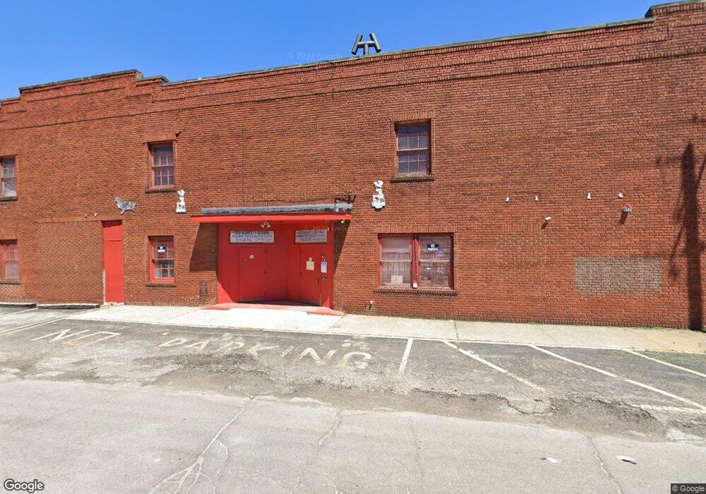
13405 Saint Clair Ave Cleveland, OH 44110
South Collinwood NeighborhoodEstimated Value: $202,243
--
Bed
--
Bath
15,640
Sq Ft
$13/Sq Ft
Est. Value
About This Home
This home is located at 13405 Saint Clair Ave, Cleveland, OH 44110 and is currently estimated at $202,243, approximately $12 per square foot. 13405 Saint Clair Ave is a home located in Cuyahoga County with nearby schools including Bolton, Andrew J. Rickoff School, and Anton Grdina School.
Ownership History
Date
Name
Owned For
Owner Type
Purchase Details
Closed on
Sep 28, 2022
Sold by
Bright Star Missionary Baptist Church
Bought by
Family Love Enterprise Llc
Current Estimated Value
Purchase Details
Closed on
Mar 2, 2000
Sold by
Usher Estella R
Bought by
Bright Star Missionary Baptist Church
Home Financials for this Owner
Home Financials are based on the most recent Mortgage that was taken out on this home.
Original Mortgage
$320,000
Interest Rate
8.3%
Mortgage Type
Commercial
Purchase Details
Closed on
Sep 3, 1976
Sold by
Morgan Regis L
Bought by
Usher Estella R
Purchase Details
Closed on
Jan 1, 1975
Bought by
Morgan Regis L
Create a Home Valuation Report for This Property
The Home Valuation Report is an in-depth analysis detailing your home's value as well as a comparison with similar homes in the area
Home Values in the Area
Average Home Value in this Area
Purchase History
| Date | Buyer | Sale Price | Title Company |
|---|---|---|---|
| Family Love Enterprise Llc | $165,000 | Surety Title | |
| Bright Star Missionary Baptist Church | $320,000 | Chicago Title Insurance Comp | |
| Usher Estella R | $45,000 | -- | |
| Morgan Regis L | -- | -- |
Source: Public Records
Mortgage History
| Date | Status | Borrower | Loan Amount |
|---|---|---|---|
| Previous Owner | Bright Star Missionary Baptist Church | $320,000 | |
| Closed | Bright Star Missionary Baptist Church | $320,000 |
Source: Public Records
Tax History Compared to Growth
Tax History
| Year | Tax Paid | Tax Assessment Tax Assessment Total Assessment is a certain percentage of the fair market value that is determined by local assessors to be the total taxable value of land and additions on the property. | Land | Improvement |
|---|---|---|---|---|
| 2024 | $5,769 | $55,895 | $11,340 | $44,555 |
| 2023 | $594 | $5,950 | $0 | $5,950 |
| 2022 | $593 | $71,575 | $11,340 | $60,235 |
| 2021 | $595 | $71,580 | $11,340 | $60,240 |
| 2020 | $619 | $71,580 | $11,340 | $60,240 |
| 2019 | $582 | $17,000 | $0 | $17,000 |
| 2018 | $568 | $5,950 | $0 | $5,950 |
| 2017 | $771 | $7,590 | $0 | $7,590 |
| 2016 | $771 | $7,590 | $0 | $7,590 |
| 2015 | $36,652 | $7,590 | $0 | $7,590 |
| 2014 | $36,652 | $8,540 | $0 | $8,540 |
Source: Public Records
Map
Nearby Homes
- 13415 Casper Rd
- 469 Arbor Rd
- 13519 Ashburton Ave
- 13514 Blenheim Rd
- 1273 E 135th St
- 1281 E 134th St
- 1276 E 133rd St
- 417 Arbor Rd
- 13908 Glenside Rd
- 445 Cleveland Rd
- 14004 Idarose Ave
- 14016 Castalia Ave
- 401 Cleveland Rd
- 13912 Baldwin Ave
- 13805 Earlwood Rd
- 13809 Earlwood Rd
- 387 Cleveland Rd
- 483 E 128th St
- 13710 Mann Ave
- 13802 Rugby Rd
- 13415 Saint Clair Ave
- 13421 Glenside Rd
- 13409 Woodworth Rd
- 13413 Woodworth Rd
- 13405 Woodworth Rd
- 13417 Woodworth Rd
- 13421 Woodworth Rd
- 13317 Woodworth Rd
- 13425 Woodworth Rd
- 13515 St Clair Ave
- 13429 Woodworth Rd
- 13515 Saint Clair Ave
- 13506 Casper Rd
- 13502 Casper Rd
- 13424 Casper Rd
- 13510 Casper Rd
- 13422 Casper Rd
- 13523 Glenside Rd
- 13420 Casper Rd
- 13416 Casper Rd